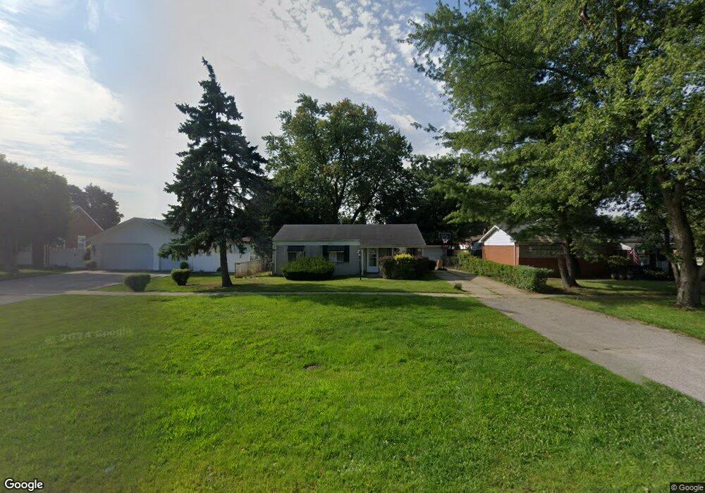
21541 Wick Rd Taylor, MI 48180
Estimated Value: $181,000 - $235,000
3
Beds
1
Bath
1,283
Sq Ft
$163/Sq Ft
Est. Value
About This Home
This home is located at 21541 Wick Rd, Taylor, MI 48180 and is currently estimated at $208,899, approximately $162 per square foot. 21541 Wick Rd is a home located in Wayne County with nearby schools including Kinyon Elementary School, Robert J. West Middle School, and Taylor Preparatory High School.
Ownership History
Date
Name
Owned For
Owner Type
Purchase Details
Closed on
Sep 30, 2015
Sold by
Bank Of America Na
Bought by
Klinger Street Llc
Current Estimated Value
Purchase Details
Closed on
Feb 5, 2015
Sold by
Pugh Patrick and Thompson Betty
Bought by
Bank Of America Na
Purchase Details
Closed on
Dec 13, 2009
Sold by
Mcleod Richard A and Mcleod Family Revocable Living
Bought by
Pugh Patrick
Purchase Details
Closed on
Sep 15, 1997
Sold by
Mcleod Richard and Mcleod Violet
Bought by
Mcleod Richard A and Mcleod Violet R
Create a Home Valuation Report for This Property
The Home Valuation Report is an in-depth analysis detailing your home's value as well as a comparison with similar homes in the area
Home Values in the Area
Average Home Value in this Area
Purchase History
| Date | Buyer | Sale Price | Title Company |
|---|---|---|---|
| Klinger Street Llc | $37,700 | Parks Title | |
| Bank Of America Na | $45,820 | None Available | |
| Pugh Patrick | $90,000 | Title One Inc | |
| Mcleod Richard A | -- | -- |
Source: Public Records
Tax History
| Year | Tax Paid | Tax Assessment Tax Assessment Total Assessment is a certain percentage of the fair market value that is determined by local assessors to be the total taxable value of land and additions on the property. | Land | Improvement |
|---|---|---|---|---|
| 2025 | $2,814 | $101,400 | $0 | $0 |
| 2024 | $2,732 | $94,500 | $0 | $0 |
| 2023 | $3,061 | $83,300 | $0 | $0 |
| 2022 | $2,570 | $73,600 | $0 | $0 |
| 2021 | $2,735 | $66,100 | $0 | $0 |
| 2020 | $2,705 | $58,500 | $0 | $0 |
| 2019 | $269,151 | $48,100 | $0 | $0 |
| 2018 | $2,256 | $38,500 | $0 | $0 |
| 2017 | $838 | $36,200 | $0 | $0 |
| 2016 | $2,821 | $35,200 | $0 | $0 |
| 2015 | $3,607 | $36,600 | $0 | $0 |
| 2013 | $3,580 | $37,100 | $0 | $0 |
| 2012 | $1,557 | $36,100 | $12,400 | $23,700 |
Source: Public Records
Map
Nearby Homes
- 8953 William St
- 9223 Roosevelt St
- 9640 Dudley St
- 22134 Wick Rd
- 21059 Wick Rd
- 22185 Wick Rd
- 22311 Wick Rd
- 8935 Lincoln St
- 22150 Haig St
- 22327 Wick Rd
- 22137 Haskell St
- 20812 Wick Rd
- 9444 Polk St
- 9883 Roosevelt St
- 8245 Roosevelt St
- 9560 Sylvester St
- 20548 Lockwood St
- 9942 Lincoln St
- 9651 Blaty St
- 22726 Haskell St
Your Personal Tour Guide
Ask me questions while you tour the home.