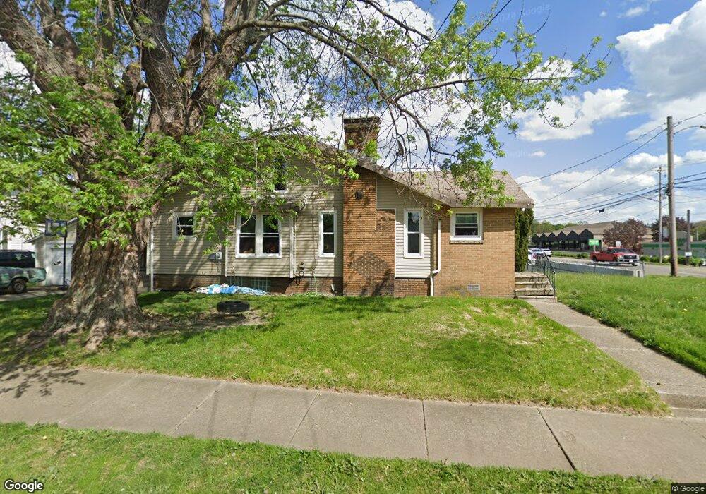
2155 E Market St Akron, OH 44312
Ellet NeighborhoodEstimated Value: $126,000 - $164,000
2
Beds
1
Bath
1,240
Sq Ft
$120/Sq Ft
Est. Value
About This Home
This home is located at 2155 E Market St, Akron, OH 44312 and is currently estimated at $148,375, approximately $119 per square foot. 2155 E Market St is a home located in Summit County with nearby schools including Ellet High School, Summit Academy Akron Elementary School, and Akron Preparatory school.
Ownership History
Date
Name
Owned For
Owner Type
Purchase Details
Closed on
Jan 5, 2000
Sold by
Choukalas Caroline E
Bought by
Corathers Bonnie S and Corathers Randy L
Current Estimated Value
Home Financials for this Owner
Home Financials are based on the most recent Mortgage that was taken out on this home.
Original Mortgage
$69,864
Outstanding Balance
$22,064
Interest Rate
7.76%
Mortgage Type
FHA
Estimated Equity
$126,311
Create a Home Valuation Report for This Property
The Home Valuation Report is an in-depth analysis detailing your home's value as well as a comparison with similar homes in the area
Home Values in the Area
Average Home Value in this Area
Purchase History
| Date | Buyer | Sale Price | Title Company |
|---|---|---|---|
| Corathers Bonnie S | $69,900 | -- |
Source: Public Records
Mortgage History
| Date | Status | Borrower | Loan Amount |
|---|---|---|---|
| Open | Corathers Bonnie S | $69,864 |
Source: Public Records
Tax History Compared to Growth
Tax History
| Year | Tax Paid | Tax Assessment Tax Assessment Total Assessment is a certain percentage of the fair market value that is determined by local assessors to be the total taxable value of land and additions on the property. | Land | Improvement |
|---|---|---|---|---|
| 2025 | $2,625 | $40,678 | $10,336 | $30,342 |
| 2024 | $2,625 | $40,678 | $10,336 | $30,342 |
| 2023 | $2,625 | $40,678 | $10,336 | $30,342 |
| 2022 | $2,473 | $29,719 | $7,490 | $22,229 |
| 2021 | $2,442 | $29,719 | $7,490 | $22,229 |
| 2020 | $2,412 | $29,720 | $7,490 | $22,230 |
| 2019 | $2,016 | $21,550 | $7,190 | $14,360 |
| 2018 | $1,995 | $21,550 | $7,190 | $14,360 |
| 2017 | $1,821 | $21,550 | $7,190 | $14,360 |
| 2016 | $1,822 | $18,800 | $7,190 | $11,610 |
| 2015 | $1,821 | $18,800 | $7,190 | $11,610 |
| 2014 | $1,810 | $18,800 | $7,190 | $11,610 |
| 2013 | $2,032 | $21,490 | $7,190 | $14,300 |
Source: Public Records
Map
Nearby Homes
- 195 Prairie Dr
- 57 Carlton Dr
- 181 Hilbish Ave
- 159 Dellenberger Ave
- 198 Hilbish Ave
- 172 Emmons Ave
- 2258 Mogadore Rd
- 1955 Preston Ave Unit 1957
- 1947 Preston Ave Unit 1949
- 2382 Mogadore Rd
- 274 Fulmer Ave
- 218 Canton Rd
- 1892 Malasia Rd
- 1874 Adelaide Blvd
- 364 Stanley Rd
- 1826 Ford Ave
- 452 Herbert Rd
- 1835 Penthley Ave
- 333 Cluster Ave
- 1818 Flint Ave
- 125 Devonshire Dr
- 121 Devonshire Dr
- 124 Devonshire Dr
- 2139 E Market St
- 119 Devonshire Dr
- 122 Devonshire Dr
- 2169 E Market St
- 2135 E Market St
- 114 Devonshire Dr
- 114 Devonshire Dr
- 146 Berwyck Dr
- 113 Devonshire Dr
- 140 Berwyck Dr
- 2146 E Market St
- 105 Carlton Dr
- 2131 E Market St
- 109 Devonshire Dr
- 150 Berwyck Dr
- 101 Carlton Dr
- 132 Berwyck Dr