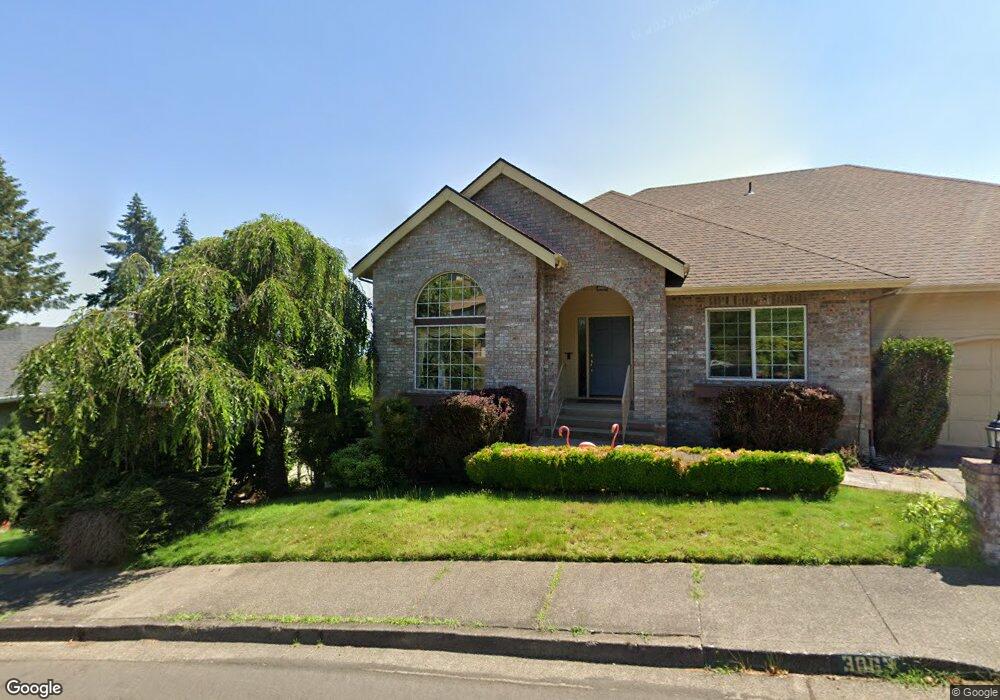
2155 Mclean Blvd Eugene, OR 97405
Crest Drive NeighborhoodEstimated Value: $553,000 - $686,000
4
Beds
3
Baths
2,664
Sq Ft
$238/Sq Ft
Est. Value
About This Home
This home is located at 2155 Mclean Blvd, Eugene, OR 97405 and is currently estimated at $633,282, approximately $237 per square foot. 2155 Mclean Blvd is a home located in Lane County with nearby schools including Adams Elementary School, Arts And Technology Academy At Jefferson, and Churchill High School.
Ownership History
Date
Name
Owned For
Owner Type
Purchase Details
Closed on
Mar 29, 2017
Sold by
Dowdy Tiffany Ann and Murray Robert F
Bought by
Chapin Robin A and Conner Julie
Current Estimated Value
Home Financials for this Owner
Home Financials are based on the most recent Mortgage that was taken out on this home.
Original Mortgage
$295,000
Outstanding Balance
$243,905
Interest Rate
4.15%
Mortgage Type
New Conventional
Estimated Equity
$389,377
Create a Home Valuation Report for This Property
The Home Valuation Report is an in-depth analysis detailing your home's value as well as a comparison with similar homes in the area
Home Values in the Area
Average Home Value in this Area
Purchase History
| Date | Buyer | Sale Price | Title Company |
|---|---|---|---|
| Chapin Robin A | $329,000 | Cascade Title Company |
Source: Public Records
Mortgage History
| Date | Status | Borrower | Loan Amount |
|---|---|---|---|
| Open | Chapin Robin A | $295,000 |
Source: Public Records
Tax History
| Year | Tax Paid | Tax Assessment Tax Assessment Total Assessment is a certain percentage of the fair market value that is determined by local assessors to be the total taxable value of land and additions on the property. | Land | Improvement |
|---|---|---|---|---|
| 2025 | $7,099 | $364,364 | -- | -- |
| 2024 | $7,011 | $353,752 | -- | -- |
| 2023 | $7,011 | $343,449 | $0 | $0 |
| 2022 | $6,568 | $333,446 | $0 | $0 |
| 2021 | $6,169 | $323,734 | $0 | $0 |
| 2020 | $6,191 | $314,305 | $0 | $0 |
| 2019 | $5,979 | $305,151 | $0 | $0 |
| 2018 | $5,628 | $287,635 | $0 | $0 |
| 2017 | $5,304 | $287,635 | $0 | $0 |
| 2016 | $5,156 | $279,257 | $0 | $0 |
| 2015 | $4,985 | $271,123 | $0 | $0 |
| 2014 | $4,853 | $263,226 | $0 | $0 |
Source: Public Records
Map
Nearby Homes
- 3093 Soloman Loop
- 3023 Ashley Loop
- 2850 Garfield St
- 2225 W 28th Ave
- 1783 Graham Dr
- 2030 W 34th Ave
- 2673 Garfield St
- 2455 W 29th Ave
- 2315 W 28th Ave
- 2323 W 28th Ave
- 2037 Morning View Dr
- 0 Mclean Blvd Unit 24671448
- 0 Mclean Blvd Unit 697374759
- 2572 W 28th Ave
- 2490 Panorama Dr
- 2430 Wilson Dr
- 2736 Kismet Way
- 2870 Hawkins Ln
- 0 Hallmark Ln
- 2728 Hallmark Ln
- 3067 Soloman Loop
- 3063 Soloman Loop
- 3067 Solomon Loop
- 2065 Graham Dr
- 2145 Mclean Blvd
- 2055 Graham Dr
- 3069 Soloman Loop
- 3071 Soloman Loop
- 3066 Soloman Loop
- 2223 Lasater Blvd
- 2229 Lasater Blvd
- 2089 Graham Dr
- 2161 Mclean Blvd
- 2060 Graham Dr
- 2039 Graham Dr
- 2233 Lasater Blvd
- 3092 Soloman Loop
- 3092 Solomon Loop
- 2251 Lasater Blvd
- 2090 Graham Dr
Your Personal Tour Guide
Ask me questions while you tour the home.