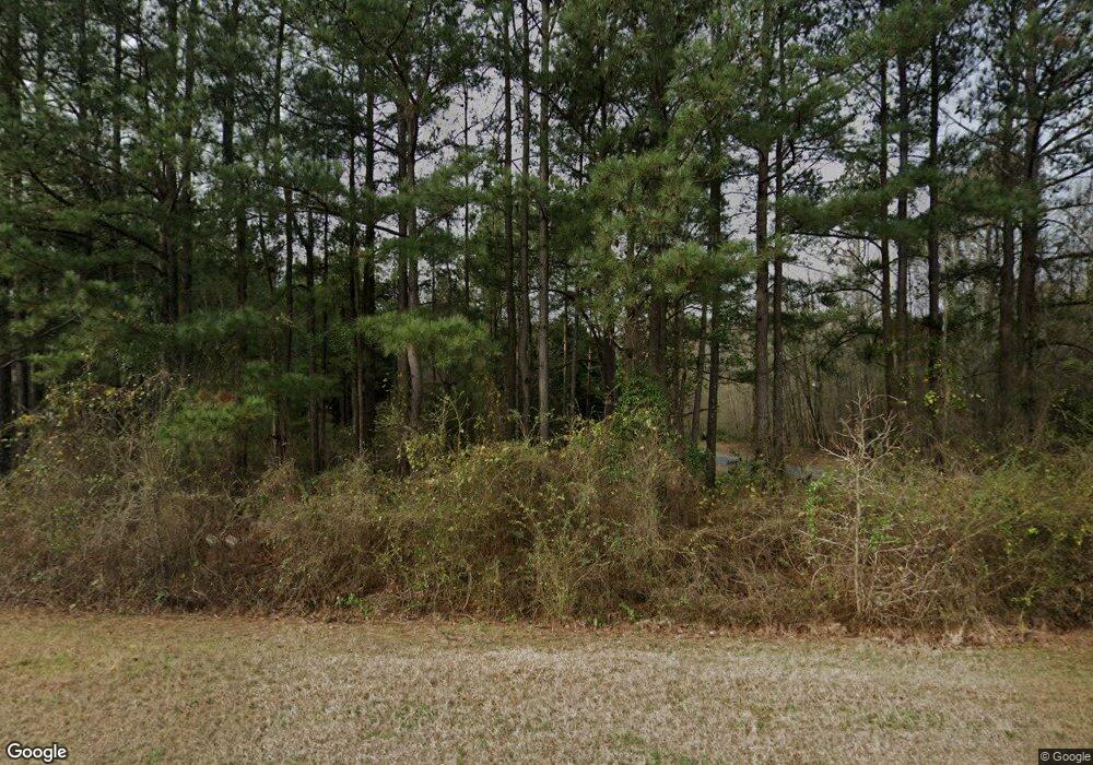
2156 Wire Rd Thomson, GA 30824
Estimated Value: $260,266 - $686,000
--
Bed
--
Bath
1,480
Sq Ft
$249/Sq Ft
Est. Value
About This Home
This home is located at 2156 Wire Rd, Thomson, GA 30824 and is currently estimated at $367,817, approximately $248 per square foot. 2156 Wire Rd is a home with nearby schools including Thomson High School.
Ownership History
Date
Name
Owned For
Owner Type
Purchase Details
Closed on
Sep 16, 2009
Sold by
Queensborough National Bank & Trust Comp
Bought by
Edwards Phillip G
Current Estimated Value
Purchase Details
Closed on
May 5, 2009
Sold by
Queensborough National Bank & Trust Comp
Bought by
Queensborough National Bank & Trust Comp
Purchase Details
Closed on
Oct 8, 1999
Sold by
Swint Charles M
Bought by
Swint Charles Michael
Purchase Details
Closed on
Mar 26, 1996
Sold by
Ard Richard and Ard Michelle
Bought by
Swint Charles M
Purchase Details
Closed on
Sep 30, 1993
Bought by
Ard Richard and Ard Michelle
Create a Home Valuation Report for This Property
The Home Valuation Report is an in-depth analysis detailing your home's value as well as a comparison with similar homes in the area
Home Values in the Area
Average Home Value in this Area
Purchase History
| Date | Buyer | Sale Price | Title Company |
|---|---|---|---|
| Edwards Phillip G | $49,000 | -- | |
| Queensborough National Bank & Trust Comp | $52,757 | -- | |
| Swint Charles Michael | -- | -- | |
| Swint Charles M | $27,500 | -- | |
| Ard Richard | $11,300 | -- |
Source: Public Records
Tax History Compared to Growth
Tax History
| Year | Tax Paid | Tax Assessment Tax Assessment Total Assessment is a certain percentage of the fair market value that is determined by local assessors to be the total taxable value of land and additions on the property. | Land | Improvement |
|---|---|---|---|---|
| 2025 | $2,122 | $93,821 | $14,632 | $79,189 |
| 2024 | $2,122 | $88,450 | $13,182 | $75,268 |
| 2023 | $2,057 | $85,474 | $13,182 | $72,292 |
| 2022 | $1,943 | $76,627 | $13,182 | $63,445 |
| 2021 | $1,607 | $62,423 | $12,798 | $49,625 |
| 2020 | $1,410 | $54,034 | $10,776 | $43,258 |
| 2019 | $1,425 | $54,034 | $10,776 | $43,258 |
| 2018 | $1,425 | $54,034 | $10,776 | $43,258 |
| 2017 | $1,375 | $54,034 | $10,776 | $43,258 |
| 2016 | $1,375 | $54,034 | $10,776 | $43,258 |
| 2015 | $1,295 | $55,696 | $12,600 | $43,096 |
| 2014 | $1,297 | $55,696 | $12,600 | $43,096 |
| 2013 | -- | $55,696 | $12,600 | $43,096 |
Source: Public Records
Map
Nearby Homes
- 789 George McDuffie Rd
- 1543 Wrens Hwy
- 000 Wrens Hwy
- 1761 Augusta Hwy
- 1008 Wrens Hwy
- 0 Wrens Hwy Unit 10652460
- 0 Wrens Hwy Unit 549833
- 415 Stonewall Dr
- 118 Langham St
- 1463 Lokey Dr
- 354 King St
- 306 Michael St
- 709 Pine Lane Dr
- 416 Forrest Clary Dr
- 67 Shadowmoor Cir
- 609 Hillcrest Dr
- 421 Salem Rd
- A-00 Harrison Rd
- 1280 Acadia Dr
- 1009 Berkley Ct
