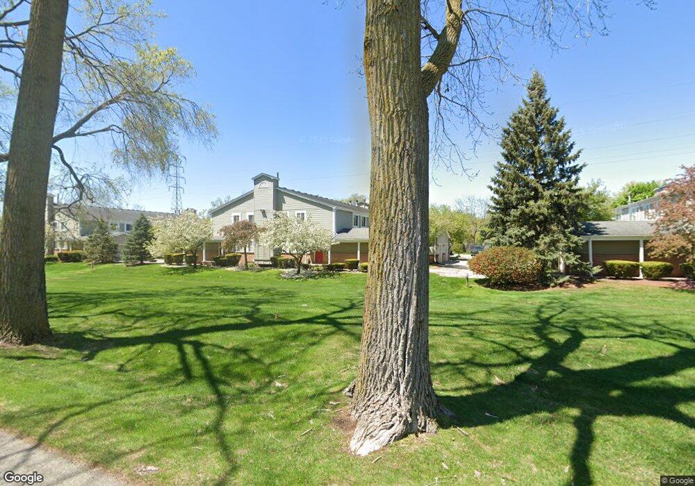
2156 Woodrow Wilson Blvd West Bloomfield, MI 48324
Estimated Value: $188,437 - $220,000
2
Beds
2
Baths
1,218
Sq Ft
$168/Sq Ft
Est. Value
About This Home
This home is located at 2156 Woodrow Wilson Blvd, West Bloomfield, MI 48324 and is currently estimated at $205,109, approximately $168 per square foot. 2156 Woodrow Wilson Blvd is a home located in Oakland County with nearby schools including Walt Whitman Elementary School, Pontiac Middle School, and Pontiac High School.
Ownership History
Date
Name
Owned For
Owner Type
Purchase Details
Closed on
Dec 18, 2009
Sold by
Harris Scott B and Harris Meloa D
Bought by
Harris Scott B and Scott B Harris Trust
Current Estimated Value
Purchase Details
Closed on
Dec 21, 2001
Sold by
Epstein Kristina
Bought by
Harris Scott B
Home Financials for this Owner
Home Financials are based on the most recent Mortgage that was taken out on this home.
Original Mortgage
$100,000
Interest Rate
6.95%
Purchase Details
Closed on
Aug 20, 1999
Sold by
Costew Jeffery
Bought by
Epstein Kristina
Create a Home Valuation Report for This Property
The Home Valuation Report is an in-depth analysis detailing your home's value as well as a comparison with similar homes in the area
Home Values in the Area
Average Home Value in this Area
Purchase History
| Date | Buyer | Sale Price | Title Company |
|---|---|---|---|
| Harris Scott B | -- | None Available | |
| Harris Scott B | $129,000 | -- | |
| Epstein Kristina | $116,900 | -- |
Source: Public Records
Mortgage History
| Date | Status | Borrower | Loan Amount |
|---|---|---|---|
| Previous Owner | Harris Scott B | $100,000 |
Source: Public Records
Tax History Compared to Growth
Tax History
| Year | Tax Paid | Tax Assessment Tax Assessment Total Assessment is a certain percentage of the fair market value that is determined by local assessors to be the total taxable value of land and additions on the property. | Land | Improvement |
|---|---|---|---|---|
| 2024 | $793 | $77,890 | $0 | $0 |
| 2022 | $756 | $66,420 | $8,380 | $58,040 |
| 2021 | $1,243 | $67,060 | $0 | $0 |
| 2020 | $696 | $66,690 | $8,380 | $58,310 |
| 2018 | $1,190 | $49,460 | $8,380 | $41,080 |
| 2015 | -- | $41,260 | $0 | $0 |
| 2014 | -- | $39,400 | $0 | $0 |
| 2011 | -- | $38,360 | $0 | $0 |
Source: Public Records
Map
Nearby Homes
- 2084 Woodrow Wilson Blvd Unit A6
- 2468 Walce Dr
- 2216 Middlebelt Rd
- 2230 Middlebelt Rd
- 1796 Briarcliff St
- 2630 Depew Dr
- 1775 Woodland Ave
- 2314 Middlebelt Rd
- 2825 Wall St
- 2820 Wall St
- 1970 Beechmont St
- 2952 Prynne St
- 2918 Nagle Ct
- 2960 Glenbroke St
- 2622 Pine Ridge Rd
- 2411 Pine Lake Ave
- 1660 Beechmont St
- 2329 Fordham St
- 3087 Brock St
- 2665 Middlebelt Rd
- 2060 Woodrow Wilson Blvd Unit BldgA
- 2060 Woodrow Wilson Blvd Unit A
- 2090 Woodrow Wilson Blvd Unit A, 5
- 2202 Woodrow Wilson Blvd Unit C24
- 2196 Woodrow Wilson Blvd
- 2184 Woodrow Wilson Blvd Unit C22
- 2190 Woodrow Wilson Blvd
- 2178 Woodrow Wilson Blvd Unit C20
- 2172 Woodrow Wilson Blvd
- 2166 Woodrow Wilson Blvd
- 2150 Woodrow Wilson Blvd Unit 15
- 2138 Woodrow Wilson Blvd Unit B14
- 2144 Woodrow Wilson Blvd
- 2132 Woodrow Wilson Blvd
- 2126 Woodrow Wilson Blvd
- 2114 Woodrow Wilson Blvd Unit 10
- 2120 Woodrow Wilson Blvd Unit B9
- 2102 Woodrow Wilson Blvd Unit A8
- 2096 Woodrow Wilson Blvd
- 2090 Woodrow Wilson Blvd Unit 5