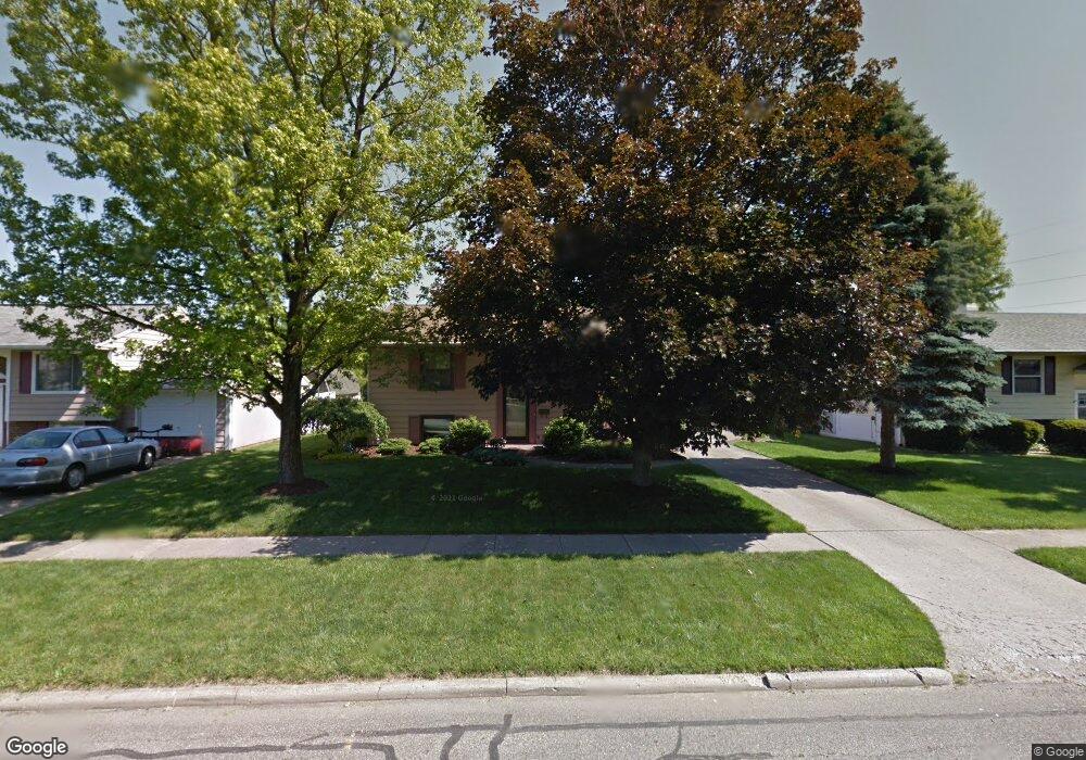
2157 Lendale Dr Lancaster, OH 43130
Estimated Value: $231,246 - $261,000
3
Beds
2
Baths
816
Sq Ft
$303/Sq Ft
Est. Value
About This Home
This home is located at 2157 Lendale Dr, Lancaster, OH 43130 and is currently estimated at $247,312, approximately $303 per square foot. 2157 Lendale Dr is a home located in Fairfield County with nearby schools including General Sherman Junior High School, Lancaster High School, and St Mary Elementary School.
Ownership History
Date
Name
Owned For
Owner Type
Purchase Details
Closed on
Mar 5, 2012
Sold by
Mathias Jerry A and Mathias Michelle L
Bought by
Mathias Jerry A and Mathias Michelle L
Current Estimated Value
Create a Home Valuation Report for This Property
The Home Valuation Report is an in-depth analysis detailing your home's value as well as a comparison with similar homes in the area
Home Values in the Area
Average Home Value in this Area
Purchase History
| Date | Buyer | Sale Price | Title Company |
|---|---|---|---|
| Mathias Jerry A | -- | Attorney |
Source: Public Records
Tax History Compared to Growth
Tax History
| Year | Tax Paid | Tax Assessment Tax Assessment Total Assessment is a certain percentage of the fair market value that is determined by local assessors to be the total taxable value of land and additions on the property. | Land | Improvement |
|---|---|---|---|---|
| 2024 | $5,187 | $57,700 | $11,880 | $45,820 |
| 2023 | $2,099 | $57,700 | $11,880 | $45,820 |
| 2022 | $2,107 | $57,700 | $11,880 | $45,820 |
| 2021 | $1,701 | $43,620 | $9,900 | $33,720 |
| 2020 | $390 | $43,620 | $9,900 | $33,720 |
| 2019 | $1,549 | $43,620 | $9,900 | $33,720 |
| 2018 | $387 | $34,790 | $9,900 | $24,890 |
| 2017 | $1,292 | $34,550 | $9,900 | $24,650 |
| 2016 | $1,259 | $34,550 | $9,900 | $24,650 |
| 2015 | $1,258 | $33,500 | $9,900 | $23,600 |
| 2014 | $1,198 | $33,500 | $9,900 | $23,600 |
| 2013 | $1,198 | $33,500 | $9,900 | $23,600 |
Source: Public Records
Map
Nearby Homes
- 599 Front St
- 842 Lambton Cir W
- 1935 Smith Ave
- 371 12th St
- 71 3rd St
- 185 9th St
- 3 1st St
- 937 Governor's Cir
- 957 Governor's Cir
- 255 9th St
- 664 N Shoshone Dr
- 282 14th St
- 461 N Shoshone Dr
- 145 Alameda Ct
- 1829 Shoshone Dr
- 0 W Fair Ave
- 1628 W Fair Ave
- 1422 Graylock St
- 401 Busby Ave
- 1707 River Valley N Cir
- 2163 Lendale Dr
- 2149 Lendale Dr
- 2171 Lendale Dr
- 2139 Lendale Dr
- 2156 Lendale Dr
- 2177 Lendale Dr
- 2162 Lendale Dr
- 2148 Lendale Dr
- 2170 Lendale Dr
- 2133 Lendale Dr
- 2138 Lendale Dr
- 2176 Lendale Dr
- 2132 Lendale Dr
- 2125 Lendale Dr
- 2131 W Mulberry St
- 2184 Lendale Dr
- 2191 Lendale Dr
- 2123 W Mulberry St
- 2143 W Mulberry St
- 2126 Lendale Dr