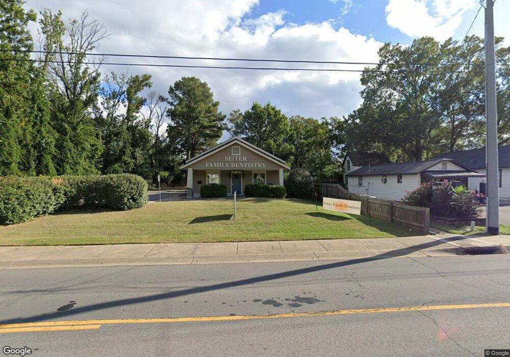
2157 Prince St Conway, AR 72034
Downtown Conway NeighborhoodEstimated Value: $87,000
Studio
1
Bath
1,595
Sq Ft
$55/Sq Ft
Est. Value
About This Home
This home is located at 2157 Prince St, Conway, AR 72034 and is currently priced at $87,000, approximately $54 per square foot. 2157 Prince St is a home located in Faulkner County with nearby schools including Ida Burns Elementary School, Conway Junior High School, and Ruth Doyle Intermediate School.
Ownership History
Date
Name
Owned For
Owner Type
Purchase Details
Closed on
Dec 9, 2016
Sold by
Stanton Janelle W
Bought by
Seiter Dental Properties Llc
Current Estimated Value
Home Financials for this Owner
Home Financials are based on the most recent Mortgage that was taken out on this home.
Original Mortgage
$425,000
Outstanding Balance
$342,649
Interest Rate
3.47%
Mortgage Type
Commercial
Create a Home Valuation Report for This Property
The Home Valuation Report is an in-depth analysis detailing your home's value as well as a comparison with similar homes in the area
Home Values in the Area
Average Home Value in this Area
Purchase History
| Date | Buyer | Sale Price | Title Company |
|---|---|---|---|
| Seiter Dental Properties Llc | $120,000 | Faulkner County Title Compan |
Source: Public Records
Mortgage History
| Date | Status | Borrower | Loan Amount |
|---|---|---|---|
| Open | Seiter Dental Properties Llc | $425,000 |
Source: Public Records
Tax History
| Year | Tax Paid | Tax Assessment Tax Assessment Total Assessment is a certain percentage of the fair market value that is determined by local assessors to be the total taxable value of land and additions on the property. | Land | Improvement |
|---|---|---|---|---|
| 2025 | $3,684 | $72,810 | $16,500 | $56,310 |
| 2024 | $3,684 | $72,810 | $16,500 | $56,310 |
| 2023 | $3,570 | $70,550 | $16,500 | $54,050 |
| 2022 | $3,570 | $70,550 | $16,500 | $54,050 |
| 2021 | $3,570 | $70,550 | $16,500 | $54,050 |
| 2020 | $3,486 | $68,900 | $16,500 | $52,400 |
| 2019 | $3,486 | $68,900 | $16,500 | $52,400 |
| 2018 | $3,486 | $68,900 | $16,500 | $52,400 |
| 2017 | $443 | $8,750 | $8,750 | $0 |
| 2016 | $443 | $8,750 | $8,750 | $0 |
| 2015 | $443 | $8,750 | $8,750 | $0 |
| 2014 | $443 | $10,000 | $8,750 | $1,250 |
Source: Public Records
Map
Nearby Homes
- 1069 Donaghey Ave
- 2120 Duncan St
- 953 Watkins St
- 846 Donaghey Ave
- 2005 Weems St
- 2405 Meadow Dr
- 1308 Hillcrest Dr
- 0 Lee Ave
- 1916 Johnston Ave
- 1317 Fairlane Dr
- 1415 Watkins St
- 1834 Johnston Ave
- 1310 Sunset Dr
- 1307 Sunset Dr
- 820 Ash St
- 2010 Hairston St
- 1815 Scott St
- 819 & 821 Center St
- 2007 Arkansas Ave
- 330 Ash St
- 955 Western Ave
- 2155 Prince St
- 2154 Prince St
- 2156 Prince St
- 2158 Prince St
- 2152 Prince St
- 953 Western Ave
- 2150 Prince St
- 950 Western Ave
- 2118 Prince St
- 2137 Hickory St
- 2159 Hickory St
- 2140 Caldwell St
- 2116 1/2 Caldwell St
- 2116 Caldwell St
- 2135 Hickory St
- 2116 Prince St
- 924 Western Ave
- 2131 Hickory St
- 0 Hickory St