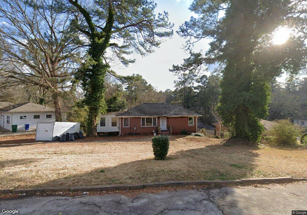
2157 Rockhaven Cir Decatur, GA 30032
Estimated Value: $251,489 - $371,000
3
Beds
1
Bath
1,612
Sq Ft
$205/Sq Ft
Est. Value
About This Home
This home is located at 2157 Rockhaven Cir, Decatur, GA 30032 and is currently estimated at $330,122, approximately $204 per square foot. 2157 Rockhaven Cir is a home located in DeKalb County with nearby schools including McNair Middle School, McNair High School, and Charles Drew Charter School.
Ownership History
Date
Name
Owned For
Owner Type
Purchase Details
Closed on
Jul 22, 1997
Sold by
Atlanta Postal Credit Union
Bought by
Penn Willia A
Current Estimated Value
Home Financials for this Owner
Home Financials are based on the most recent Mortgage that was taken out on this home.
Original Mortgage
$59,662
Outstanding Balance
$8,633
Interest Rate
7.61%
Mortgage Type
FHA
Estimated Equity
$321,489
Purchase Details
Closed on
May 6, 1996
Sold by
Slappey Jerrie A
Bought by
Atlanta Postal Credit Union
Create a Home Valuation Report for This Property
The Home Valuation Report is an in-depth analysis detailing your home's value as well as a comparison with similar homes in the area
Home Values in the Area
Average Home Value in this Area
Purchase History
| Date | Buyer | Sale Price | Title Company |
|---|---|---|---|
| Penn Willia A | $60,000 | -- | |
| Atlanta Postal Credit Union | $44,500 | -- |
Source: Public Records
Mortgage History
| Date | Status | Borrower | Loan Amount |
|---|---|---|---|
| Open | Penn Willia A | $59,662 |
Source: Public Records
Tax History Compared to Growth
Tax History
| Year | Tax Paid | Tax Assessment Tax Assessment Total Assessment is a certain percentage of the fair market value that is determined by local assessors to be the total taxable value of land and additions on the property. | Land | Improvement |
|---|---|---|---|---|
| 2025 | $2,837 | $96,440 | $37,360 | $59,080 |
| 2024 | $2,958 | $98,360 | $36,160 | $62,200 |
| 2023 | $2,958 | $103,480 | $35,640 | $67,840 |
| 2022 | $2,308 | $73,080 | $5,200 | $67,880 |
| 2021 | $2,278 | $71,800 | $5,200 | $66,600 |
| 2020 | $1,650 | $48,800 | $5,200 | $43,600 |
| 2019 | $1,180 | $35,480 | $5,200 | $30,280 |
| 2018 | $722 | $29,880 | $5,200 | $24,680 |
| 2017 | $646 | $19,440 | $2,680 | $16,760 |
| 2016 | $779 | $23,640 | $2,680 | $20,960 |
| 2014 | $668 | $20,240 | $2,680 | $17,560 |
Source: Public Records
Map
Nearby Homes
- 2164 Rockhaven Cir
- 2147 Mcafee Rd
- 2177 Mcafee Rd
- 2093 Garden Cir
- 2128 Mark Trail
- 701 Daniel Ave
- 2076 Garden Cir
- 2030 Mark Trail
- 2117 Keheley Dr
- 2009 Delphine Dr
- 2053 Juanita St
- 2103 Keheley Dr
- 673 Quillian Ave
- 2203 Hillcrest Ave
- 2049 Mcafee Rd
- 1942 E Starmount Way
- 678 Quillian Ave
- 2032 Juanita St
- 2146 Trailwood Rd
- 634 Daniel Ave
- 2061 Rockhaven Dr
- 2145 Rockhaven Cir
- 2067 Rockhaven Dr
- 2131 Rockhaven Cir
- 2075 Rockhaven Dr
- 2160 Rockhaven Cir
- 2045 Rockhaven Dr
- 2081 Rockhaven Dr
- 0 Rockhaven Dr Unit 8493365
- 0 Rockhaven Dr Unit 7170834
- 0 Rockhaven Dr Unit 7147908
- 2054 Rockhaven Dr
- 2062 Rockhaven Dr
- 2148 Rockhaven Cir
- 2144 Rockhaven Cir
- 2134 Rockhaven Cir
- 2068 Rockhaven Dr
- 2037 Rockhaven Dr
- 2140 Rockhaven Cir
- 2048 Rockhaven Dr