2158 Garrison Ln Amissville, VA 20106
Estimated Value: $308,000 - $402,000
3
Beds
2
Baths
1,236
Sq Ft
$292/Sq Ft
Est. Value
About This Home
This home is located at 2158 Garrison Ln, Amissville, VA 20106 and is currently estimated at $361,062, approximately $292 per square foot. 2158 Garrison Ln is a home located in Culpeper County with nearby schools including Emerald Hill Elementary School, Culpeper Middle School, and Culpeper County High School.
Ownership History
Date
Name
Owned For
Owner Type
Purchase Details
Closed on
Jul 8, 2022
Sold by
Kendrick Jr John A and Kendrick Rose
Bought by
Zaremba David
Current Estimated Value
Home Financials for this Owner
Home Financials are based on the most recent Mortgage that was taken out on this home.
Original Mortgage
$247,200
Outstanding Balance
$234,516
Interest Rate
5.1%
Mortgage Type
New Conventional
Estimated Equity
$126,546
Purchase Details
Closed on
May 30, 2019
Sold by
The Estate Of Virgie M Garrison
Bought by
Kendrick John A and Kendrick Rose
Create a Home Valuation Report for This Property
The Home Valuation Report is an in-depth analysis detailing your home's value as well as a comparison with similar homes in the area
Home Values in the Area
Average Home Value in this Area
Purchase History
| Date | Buyer | Sale Price | Title Company |
|---|---|---|---|
| Zaremba David | $309,000 | Commonwealth Land Title | |
| Kendrick John A | $205,000 | Entitle Settlement Services |
Source: Public Records
Mortgage History
| Date | Status | Borrower | Loan Amount |
|---|---|---|---|
| Open | Zaremba David | $247,200 |
Source: Public Records
Tax History Compared to Growth
Tax History
| Year | Tax Paid | Tax Assessment Tax Assessment Total Assessment is a certain percentage of the fair market value that is determined by local assessors to be the total taxable value of land and additions on the property. | Land | Improvement |
|---|---|---|---|---|
| 2025 | -- | $322,600 | $120,000 | $202,600 |
| 2024 | -- | $295,100 | $105,000 | $190,100 |
| 2023 | $0 | $295,100 | $105,000 | $190,100 |
| 2022 | $1,211 | $220,100 | $80,000 | $140,100 |
| 2021 | $0 | $220,100 | $80,000 | $140,100 |
| 2020 | $1,250 | $201,600 | $66,700 | $134,900 |
| 2019 | $1,136 | $183,200 | $66,700 | $116,500 |
| 2018 | $1,160 | $173,200 | $65,000 | $108,200 |
| 2017 | $1,160 | $173,200 | $65,000 | $108,200 |
| 2016 | $975 | $133,500 | $60,100 | $73,400 |
| 2015 | -- | $133,500 | $60,100 | $73,400 |
| 2014 | -- | $119,100 | $48,000 | $71,100 |
Source: Public Records
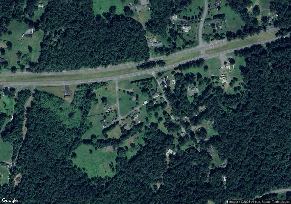
Map
Nearby Homes
- 17046 Lee Hwy
- 1468 Parker Place
- 17246 Pepperstock Ln
- 2387 Burlington Dr
- Harlow II Plan at Stonehaven - Executive Collection
- Innisbrook Plan at Stonehaven - Executive Collection
- Columbia Plan at Stonehaven - Executive Collection
- LOT C Peaceful Place
- The Jefferson Plan at Bobak Farms
- The Somerset Plan at Bobak Farms
- 2124 Berwick Dr
- 2110 Whithorn Hill
- 2114 Whithorn Hill
- 20131 Stonehaven Ave
- 3534 Southampton Dr
- 18438 Gleneagle Dr Unit MACARTHUR LOT 2318
- 18442 Gleneagle Dr Unit AZALEA LOT 2319
- 4145 Running Quail Trail
- 2053 Whithorn Hill
- 2156 Berwick Dr