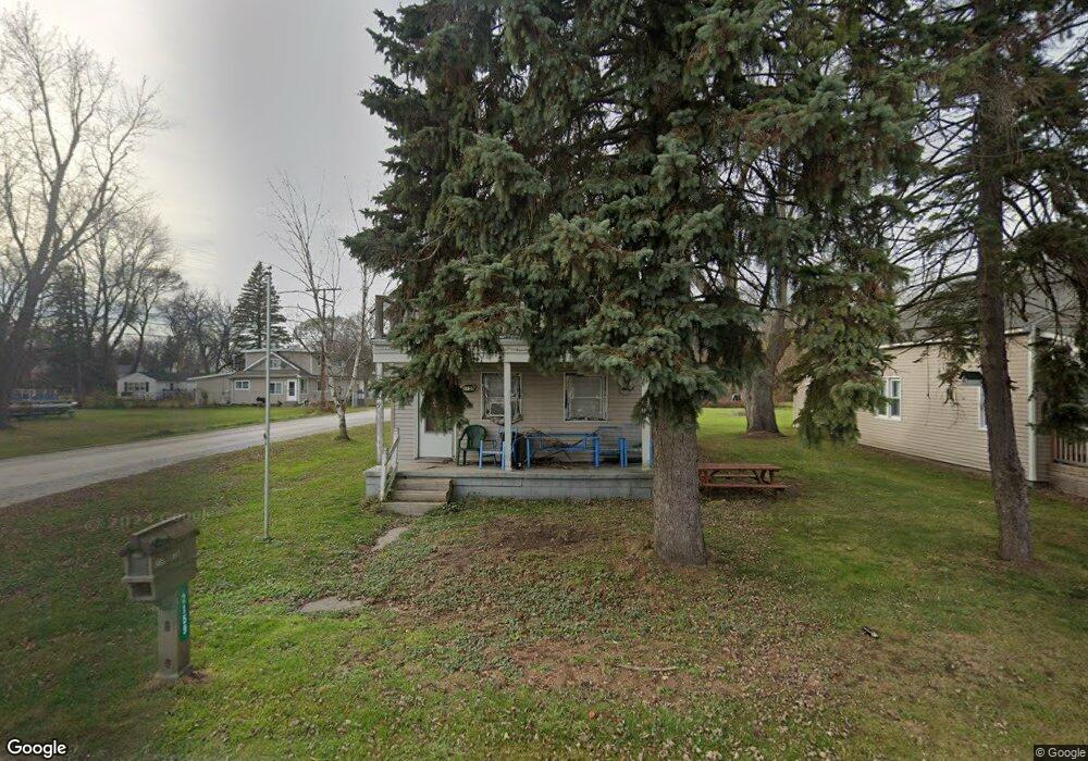
2159 25th St Port Huron, MI 48060
Estimated Value: $117,373 - $191,000
--
Bed
--
Bath
1,504
Sq Ft
$100/Sq Ft
Est. Value
About This Home
This home is located at 2159 25th St, Port Huron, MI 48060 and is currently estimated at $150,843, approximately $100 per square foot. 2159 25th St is a home located in St. Clair County with nearby schools including Michigamme Elementary School, Central Middle School, and Port Huron High School.
Ownership History
Date
Name
Owned For
Owner Type
Purchase Details
Closed on
Jul 30, 2021
Sold by
Goodnough Daniel Joseph
Bought by
Goodnough Mary
Current Estimated Value
Purchase Details
Closed on
Mar 1, 2013
Sold by
Jones Leo
Bought by
Goodnough Dan and Goodnough Mary
Purchase Details
Closed on
Oct 25, 2006
Sold by
Maxwell Dianna L
Bought by
Estate Of William R Maxwell
Purchase Details
Closed on
Mar 1, 2006
Sold by
Jones Leo and Jones Larry
Bought by
Goodnough Dan and Goodnough Mary
Home Financials for this Owner
Home Financials are based on the most recent Mortgage that was taken out on this home.
Original Mortgage
$35,500
Interest Rate
8%
Mortgage Type
Seller Take Back
Create a Home Valuation Report for This Property
The Home Valuation Report is an in-depth analysis detailing your home's value as well as a comparison with similar homes in the area
Home Values in the Area
Average Home Value in this Area
Purchase History
| Date | Buyer | Sale Price | Title Company |
|---|---|---|---|
| Goodnough Mary | -- | None Available | |
| Goodnough Dan | $37,000 | None Available | |
| Estate Of William R Maxwell | -- | Lawyers Title Insurance Corp | |
| Goodnough Dan | $37,000 | None Available |
Source: Public Records
Mortgage History
| Date | Status | Borrower | Loan Amount |
|---|---|---|---|
| Previous Owner | Goodnough Dan | $35,500 |
Source: Public Records
Tax History Compared to Growth
Tax History
| Year | Tax Paid | Tax Assessment Tax Assessment Total Assessment is a certain percentage of the fair market value that is determined by local assessors to be the total taxable value of land and additions on the property. | Land | Improvement |
|---|---|---|---|---|
| 2025 | $1,612 | $54,600 | $0 | $0 |
| 2024 | $342 | $47,100 | $0 | $0 |
| 2023 | $316 | $41,700 | $0 | $0 |
| 2022 | $931 | $34,700 | $0 | $0 |
| 2021 | $534 | $35,000 | $0 | $0 |
| 2020 | $534 | $29,700 | $29,700 | $0 |
| 2019 | $524 | $23,600 | $0 | $0 |
| 2018 | $725 | $23,600 | $0 | $0 |
| 2017 | $709 | $15,100 | $0 | $0 |
| 2016 | $263 | $15,100 | $0 | $0 |
| 2015 | -- | $18,900 | $18,900 | $0 |
| 2014 | -- | $20,000 | $20,000 | $0 |
| 2013 | -- | $19,400 | $0 | $0 |
Source: Public Records
Map
Nearby Homes
- Lot 3 24th St
- 2023 23rd St
- 2203 VL Railroad St
- 2200 VL Railroad St
- 1811 23rd St
- 1709 24th St
- 2627 24th St
- 1502 23rd St
- 1403 22nd St
- 1815 Griswold St
- 1424 19th St
- 1425 18th St
- 1426 18th St
- 0 Dove Rd Unit G31368528
- 1610 16th St
- 9999 Cleveland Ave
- 1624 15th St
- 1329 Minnie St
- 1325 Division St
- 1322 Division St