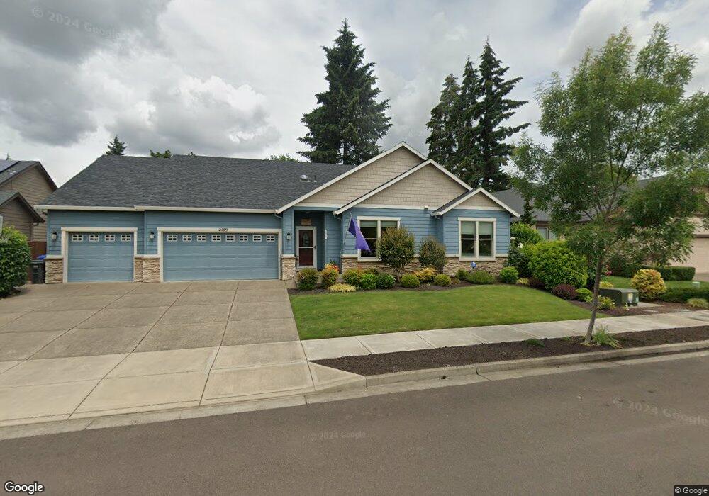
2159 Thomas Way Hubbard, Or, OR 97032
Estimated Value: $573,621 - $605,000
3
Beds
2
Baths
1,801
Sq Ft
$329/Sq Ft
Est. Value
About This Home
This home is located at 2159 Thomas Way, Hubbard, Or, OR 97032 and is currently estimated at $592,655, approximately $329 per square foot. 2159 Thomas Way is a home located in Marion County with nearby schools including North Marion Primary School, North Marion Middle School, and North Marion High School.
Ownership History
Date
Name
Owned For
Owner Type
Purchase Details
Closed on
Feb 16, 2017
Sold by
Davis Claud E and Davis Virginia R
Bought by
Martin Mary S
Current Estimated Value
Home Financials for this Owner
Home Financials are based on the most recent Mortgage that was taken out on this home.
Original Mortgage
$165,000
Outstanding Balance
$136,284
Interest Rate
4.2%
Mortgage Type
New Conventional
Estimated Equity
$456,371
Purchase Details
Closed on
Nov 6, 2015
Sold by
Mill Creek Subdivision Llc
Bought by
Davis Claud E and Davis Virginia R
Create a Home Valuation Report for This Property
The Home Valuation Report is an in-depth analysis detailing your home's value as well as a comparison with similar homes in the area
Home Values in the Area
Average Home Value in this Area
Purchase History
| Date | Buyer | Sale Price | Title Company |
|---|---|---|---|
| Martin Mary S | $365,000 | First American | |
| Davis Claud E | $770,000 | Ticor Title |
Source: Public Records
Mortgage History
| Date | Status | Borrower | Loan Amount |
|---|---|---|---|
| Open | Martin Mary S | $165,000 |
Source: Public Records
Tax History
| Year | Tax Paid | Tax Assessment Tax Assessment Total Assessment is a certain percentage of the fair market value that is determined by local assessors to be the total taxable value of land and additions on the property. | Land | Improvement |
|---|---|---|---|---|
| 2025 | $4,715 | $317,140 | -- | -- |
| 2024 | $4,715 | $307,910 | -- | -- |
| 2023 | $4,552 | $298,950 | $0 | $0 |
| 2022 | $4,322 | $290,250 | $0 | $0 |
| 2021 | $4,168 | $281,800 | $0 | $0 |
| 2020 | $4,082 | $273,600 | $0 | $0 |
| 2019 | $3,737 | $265,640 | $0 | $0 |
| 2018 | $3,739 | $0 | $0 | $0 |
| 2017 | $1,980 | $0 | $0 | $0 |
| 2016 | $613 | $0 | $0 | $0 |
Source: Public Records
Map
Nearby Homes
- 2276 B St
- 2366 Baines Blvd
- 2514 Baines Blvd
- 2367 Dorsey Dr
- 2542 Baines Blvd
- 2469 Dorsey Dr
- 2782 Nina Place
- 3289 Ash St Unit 61
- 3370 Maple St
- 3370 Maple St Unit 44
- 18767 Oregon 99e
- 2922 Walnut Ct
- 18767 Highway 99e
- 2601 N Lydia Loop
- 13264 Daiquiri Lake Dr NE
- 13032 Mapleleaf Ct NE
- 12602 Fry Rd NE
- 11842 NE Chateau Dr
- 16688 Highway 99e NE Unit 54
- 10667 Hovenden Ln NE
- 2185 Thomas Way
- 2141 Thomas Way
- 2152 Allan Ave
- 2192 Allan Ave
- 2142 Allan Ave
- 2241 Thomas Way
- 2156 Thomas Way
- 0 No Site Address Unit 14167268
- 2144 Thomas Way
- 2178 Thomas Way
- 2212 Allan Ave
- 2238 Thomas Way
- 2267 Thomas Way
- 2232 Allan Ave
- 2155 A St
- 2083 Allan Ave
- 4041 10th St
- 3997 8th St
- 2145 A St
- 4025 10th St
Your Personal Tour Guide
Ask me questions while you tour the home.