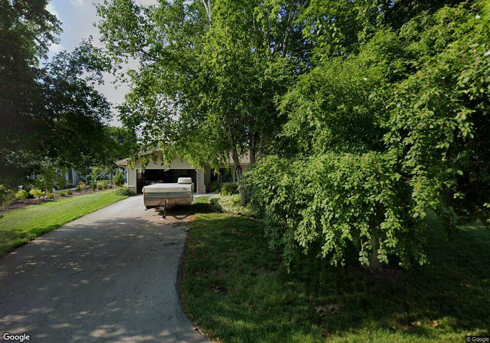
21590 Astolat Dr Brookfield, WI 53045
Estimated Value: $416,961 - $456,000
3
Beds
2
Baths
1,436
Sq Ft
$307/Sq Ft
Est. Value
About This Home
This home is located at 21590 Astolat Dr, Brookfield, WI 53045 and is currently estimated at $440,740, approximately $306 per square foot. 21590 Astolat Dr is a home located in Waukesha County with nearby schools including Brookfield Elementary School, Wisconsin Hills Middle School, and Brookfield Central High School.
Ownership History
Date
Name
Owned For
Owner Type
Purchase Details
Closed on
Mar 29, 2001
Sold by
Morris Shane E and Bonness Michelle R
Bought by
Geiser Christopher D and Geiser Mary K
Current Estimated Value
Home Financials for this Owner
Home Financials are based on the most recent Mortgage that was taken out on this home.
Original Mortgage
$138,000
Outstanding Balance
$50,986
Interest Rate
7.05%
Mortgage Type
Purchase Money Mortgage
Estimated Equity
$389,754
Purchase Details
Closed on
Nov 30, 1998
Sold by
Lamp Kalin D and Lamp Jill L
Bought by
Morris Shane E and Bonness Michelle R
Home Financials for this Owner
Home Financials are based on the most recent Mortgage that was taken out on this home.
Original Mortgage
$158,850
Interest Rate
7.37%
Mortgage Type
Purchase Money Mortgage
Create a Home Valuation Report for This Property
The Home Valuation Report is an in-depth analysis detailing your home's value as well as a comparison with similar homes in the area
Home Values in the Area
Average Home Value in this Area
Purchase History
| Date | Buyer | Sale Price | Title Company |
|---|---|---|---|
| Geiser Christopher D | $190,000 | -- | |
| Morris Shane E | $176,500 | -- |
Source: Public Records
Mortgage History
| Date | Status | Borrower | Loan Amount |
|---|---|---|---|
| Open | Geiser Christopher D | $138,000 | |
| Previous Owner | Morris Shane E | $158,850 |
Source: Public Records
Tax History Compared to Growth
Tax History
| Year | Tax Paid | Tax Assessment Tax Assessment Total Assessment is a certain percentage of the fair market value that is determined by local assessors to be the total taxable value of land and additions on the property. | Land | Improvement |
|---|---|---|---|---|
| 2024 | $3,706 | $338,900 | $125,000 | $213,900 |
| 2023 | $3,700 | $338,900 | $125,000 | $213,900 |
| 2022 | $3,655 | $262,200 | $110,000 | $152,200 |
| 2021 | $3,865 | $262,200 | $110,000 | $152,200 |
| 2020 | $4,057 | $262,200 | $110,000 | $152,200 |
| 2019 | $3,888 | $262,200 | $110,000 | $152,200 |
| 2018 | $3,780 | $247,500 | $110,000 | $137,500 |
| 2017 | $3,796 | $247,500 | $110,000 | $137,500 |
| 2016 | $3,851 | $247,500 | $110,000 | $137,500 |
| 2015 | $3,834 | $247,500 | $110,000 | $137,500 |
| 2014 | $3,865 | $247,500 | $110,000 | $137,500 |
| 2013 | $3,865 | $240,800 | $110,000 | $130,800 |
Source: Public Records
Map
Nearby Homes
- 21300 Astolat Dr
- 2410 Talbots Ln
- 21965 Valiant Dr
- 21380 Woodchuck Ln
- 21905 W North Ave
- 20780 Tennyson Dr
- N19W22081 Foxview Ct Unit 2B
- 21330 Hollycrest Ct
- W223N2314 Meadowood Ln
- 7034 Stonewood Ln
- 7038 Stonewood Ln
- 7018 Stonewood Ln
- 7022 Stonewood Ln
- W222N2872 Timberwood Ct
- W225N2549 Alderwood Ln
- W225N2516 Alderwood Ln
- N31W22134 Green Rd
- N18W22670 Watertown Rd Unit Bld 1,2,3
- Lt119 Berwick Ct
- Lt117 Berwick Ct
- 2400 Merlin Way
- 21560 Astolat Dr
- 21595 Ann Rita Dr
- 2420 Merlin Way
- 21565 Ann Rita Dr
- 21540 Astolat Dr
- 21595 Astolat Dr
- 21565 Astolat Dr
- 21625 Astolat Dr
- 21545 Ann Rita Dr
- 2405 Merlin Way
- 21545 Astolat Dr
- 21510 Astolat Dr
- 21655 Astolat Dr
- 2415 Merlin Way
- 21515 Ann Rita Dr
- 21515 Astolat Dr
- 21620 Ann Rita Dr
- 21580 Ann Rita Dr
- 2360 Guinevere Dr