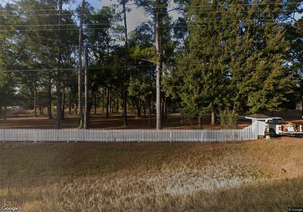
21599 Highway 82 Hortense, GA 31543
Estimated Value: $47,083 - $189,000
--
Bed
1
Bath
1,081
Sq Ft
$108/Sq Ft
Est. Value
About This Home
This home is located at 21599 Highway 82, Hortense, GA 31543 and is currently estimated at $116,771, approximately $108 per square foot. 21599 Highway 82 is a home with nearby schools including Waynesville Primary School, Atkinson Elementary School, and Brantley County Middle School.
Ownership History
Date
Name
Owned For
Owner Type
Purchase Details
Closed on
Sep 24, 2024
Sold by
Middleton Dennis Carl
Bought by
Middleton Dennis Carl and Middleton Teresa
Current Estimated Value
Purchase Details
Closed on
Dec 3, 2007
Sold by
Hart Nancy Middleton
Bought by
Middleton Dennis Carl
Home Financials for this Owner
Home Financials are based on the most recent Mortgage that was taken out on this home.
Original Mortgage
$33,241
Interest Rate
6.22%
Mortgage Type
New Conventional
Create a Home Valuation Report for This Property
The Home Valuation Report is an in-depth analysis detailing your home's value as well as a comparison with similar homes in the area
Home Values in the Area
Average Home Value in this Area
Purchase History
| Date | Buyer | Sale Price | Title Company |
|---|---|---|---|
| Middleton Dennis Carl | -- | -- | |
| Middleton Dennis Carl | $48,000 | -- |
Source: Public Records
Mortgage History
| Date | Status | Borrower | Loan Amount |
|---|---|---|---|
| Previous Owner | Middleton Dennis Carl | $33,241 |
Source: Public Records
Tax History Compared to Growth
Tax History
| Year | Tax Paid | Tax Assessment Tax Assessment Total Assessment is a certain percentage of the fair market value that is determined by local assessors to be the total taxable value of land and additions on the property. | Land | Improvement |
|---|---|---|---|---|
| 2024 | $268 | $7,816 | $5,016 | $2,800 |
| 2023 | $226 | $6,383 | $3,583 | $2,800 |
| 2022 | $647 | $23,649 | $3,583 | $20,066 |
| 2021 | $639 | $15,624 | $3,583 | $12,041 |
| 2020 | $650 | $15,624 | $3,583 | $12,041 |
| 2019 | $650 | $15,624 | $3,583 | $12,041 |
| 2018 | $616 | $18,185 | $4,967 | $13,218 |
| 2017 | $616 | $18,185 | $4,967 | $13,218 |
| 2016 | $663 | $18,185 | $4,967 | $13,218 |
| 2015 | -- | $18,184 | $4,967 | $13,218 |
Source: Public Records
Map
Nearby Homes
- 8590 U S 82
- 254 Satilla Sands Dr
- 139 Satilla Sands Dr
- 9947 Georgia 110
- Tract 4 State Route 259
- 0 Weeping Willow Rd
- 0 Warners Landing Unit 10628133
- 0 Warners Landing Unit 1657512
- 519 Wiltsie Way
- B066 006 Old Koa Rd
- 1005 Fort McIntosh Loop
- 673 Fort McIntosh Loop
- 41 Middle Rd
- 0 Dogwood Rd
- 1089 Picketts Mill Trail
- Lot 93 Picketts Mill Trail
- Lot 91 Picketts Mill Trail
- Lot 87 Picketts Mill Trail
- 34 Fox Ridge Trail
- 0 Fox Ridge Trail
- 21539 Highway 82
- 21546 Highway 82
- 123 Connie Ln
- 7154 Highway 110 W
- 7182 Georgia 110
- 40 Waynesville Trail
- 65 Waynesville Ct
- 0 Hwy 110 Unit 1560488
- 0 Hwy 110 Unit 1565398
- 219 Connie Ln
- 25 Connie Ln
- 00 Hwy 82 259
- 21693 Highway 82
- (Lot 10) Hwy 110 W
- 0 Highway 110 W Unit 10080055
- 16 Barlow Rd
- 21387 U S 82
- 205 Connie Ln
- 0 Hwy 110 Hwy 82 Unit 27655
- 21387 Highway 82
