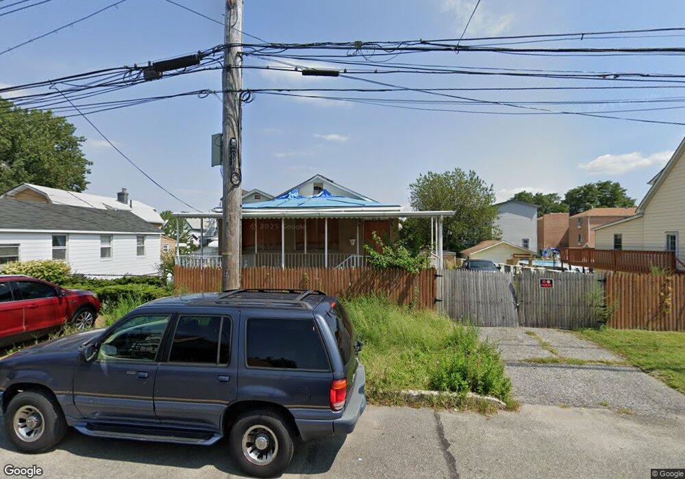
216-214 Husson Ave Bronx, NY 10473
Clason Point NeighborhoodEstimated Value: $453,000 - $836,000
--
Bed
--
Bath
1,800
Sq Ft
$363/Sq Ft
Est. Value
About This Home
This home is located at 216-214 Husson Ave, Bronx, NY 10473 and is currently estimated at $654,000, approximately $363 per square foot. 216-214 Husson Ave is a home located in Bronx County with nearby schools including P.S. 182 and Bold Charter School.
Ownership History
Date
Name
Owned For
Owner Type
Purchase Details
Closed on
Jun 16, 2025
Sold by
Deodharry Jainarain
Bought by
214-216 Husson Llc
Current Estimated Value
Purchase Details
Closed on
Sep 12, 2023
Sold by
Dav Construction Corp
Bought by
Jainarain Deodharry
Purchase Details
Closed on
Mar 24, 2022
Sold by
Deodharry Jainarain and Bindraban Sarjoo Bindraban
Bought by
Dav Construction Corp
Create a Home Valuation Report for This Property
The Home Valuation Report is an in-depth analysis detailing your home's value as well as a comparison with similar homes in the area
Home Values in the Area
Average Home Value in this Area
Purchase History
| Date | Buyer | Sale Price | Title Company |
|---|---|---|---|
| 214-216 Husson Llc | $670,000 | -- | |
| Jainarain Deodharry | -- | -- | |
| Dav Construction Corp | -- | -- |
Source: Public Records
Tax History Compared to Growth
Tax History
| Year | Tax Paid | Tax Assessment Tax Assessment Total Assessment is a certain percentage of the fair market value that is determined by local assessors to be the total taxable value of land and additions on the property. | Land | Improvement |
|---|---|---|---|---|
| 2025 | $5,382 | $8,520 | $28,406 | -- |
| 2024 | $5,382 | $26,798 | $7,234 | $19,564 |
| 2023 | $5,134 | $25,281 | $6,849 | $18,432 |
| 2022 | $4,761 | $27,720 | $8,940 | $18,780 |
| 2021 | $4,735 | $22,500 | $8,940 | $13,560 |
| 2020 | $5,061 | $33,660 | $8,940 | $24,720 |
| 2019 | $4,718 | $34,680 | $8,940 | $25,740 |
| 2018 | $4,338 | $21,280 | $5,775 | $15,505 |
| 2017 | $4,338 | $21,280 | $7,272 | $14,008 |
| 2016 | $4,222 | $21,118 | $8,368 | $12,750 |
| 2015 | $2,421 | $19,923 | $9,395 | $10,528 |
| 2014 | $2,421 | $18,796 | $8,643 | $10,153 |
Source: Public Records
Map
Nearby Homes
- 234 Betts Ave
- 216 Pugsley Ave
- 142 Husson Ave
- 127 Husson Ave
- 160 Stephens Ave
- 227 Stephens Ave
- 250 Newman Ave
- 303 Howe Ave
- 109 Dolphin Ct
- 246 Soundview Ave
- 252 Soundview Ave
- 109 Fleet Ct
- 321 Newman Ave
- 317 Torry Ave
- 100 Neptune Ln Unit 15100
- 423 Olmstead Ave
- 109 Heron Ln Unit 447
- 437 Torry Ave
- 230 Sunset Blvd Unit 12230
- 112 Sunset Blvd Unit 11112
- 216 Husson Ave
- 216 Husson Ave
- 218 Husson Ave Unit 220
- 218-220 Husson Ave
- 214 Husson Ave
- 214 Husson Ave Unit 2
- 222 Husson Ave
- 224 Husson Ave
- 219 Betts Ave
- 221A Betts Ave
- 217 Betts Ave
- 221 Betts Ave
- 215 Betts Ave
- 2001 Gildersleeve Ave
- 223 Betts Ave
- 226 Husson Ave
- 2007 Gildersleeve Ave
- 2007 Gildersleeve Ave
- 221 Husson Ave
- 2011 Gildersleeve Ave