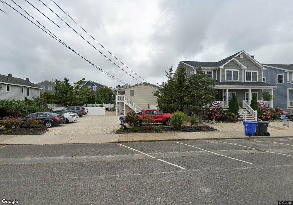
216 Amber St Unit 1ST Beach Haven, NJ 08008
Long Beach Island NeighborhoodEstimated Value: $596,148
--
Bed
--
Bath
--
Sq Ft
7,536
Sq Ft Lot
About This Home
This home is located at 216 Amber St Unit 1ST, Beach Haven, NJ 08008 and is currently estimated at $596,148. 216 Amber St Unit 1ST is a home located in Ocean County with nearby schools including Beach Haven School, Southern Regional Middle School, and Southern Regional High School.
Ownership History
Date
Name
Owned For
Owner Type
Purchase Details
Closed on
Nov 30, 2016
Sold by
Torres Angel R and Torres Donna M
Bought by
Johnson Scott W and Johnson Isabelle G
Current Estimated Value
Home Financials for this Owner
Home Financials are based on the most recent Mortgage that was taken out on this home.
Original Mortgage
$236,000
Outstanding Balance
$190,566
Interest Rate
3.52%
Mortgage Type
New Conventional
Estimated Equity
$405,582
Purchase Details
Closed on
Nov 17, 2016
Sold by
Morgan Theresa Marie and Morgan Barry K
Bought by
Arch Jeffrey P and Arch Cathleen
Home Financials for this Owner
Home Financials are based on the most recent Mortgage that was taken out on this home.
Original Mortgage
$236,000
Outstanding Balance
$190,566
Interest Rate
3.52%
Mortgage Type
New Conventional
Estimated Equity
$405,582
Purchase Details
Closed on
Apr 14, 2004
Sold by
Hensor Kenneth and Hensor Joyce C
Bought by
Gallagher Patricia
Home Financials for this Owner
Home Financials are based on the most recent Mortgage that was taken out on this home.
Original Mortgage
$190,000
Interest Rate
4.5%
Mortgage Type
Unknown
Purchase Details
Closed on
Apr 15, 2002
Sold by
Lortie Laura
Bought by
Hensor Kenneth and Hensor Joyce
Home Financials for this Owner
Home Financials are based on the most recent Mortgage that was taken out on this home.
Original Mortgage
$172,000
Interest Rate
6.85%
Purchase Details
Closed on
Apr 14, 1998
Sold by
Pisano Joseph J
Bought by
Lortie Laura G
Home Financials for this Owner
Home Financials are based on the most recent Mortgage that was taken out on this home.
Original Mortgage
$74,700
Interest Rate
7.11%
Purchase Details
Closed on
Oct 30, 1995
Sold by
Bohonyi Michael
Bought by
Walker John and Walker Maryann
Home Financials for this Owner
Home Financials are based on the most recent Mortgage that was taken out on this home.
Original Mortgage
$50,000
Interest Rate
7.53%
Purchase Details
Closed on
Jul 21, 1995
Sold by
Pisano Joseph
Bought by
Garabedian Leo and Garabedian Marianne
Home Financials for this Owner
Home Financials are based on the most recent Mortgage that was taken out on this home.
Original Mortgage
$64,000
Interest Rate
7.56%
Create a Home Valuation Report for This Property
The Home Valuation Report is an in-depth analysis detailing your home's value as well as a comparison with similar homes in the area
Home Values in the Area
Average Home Value in this Area
Purchase History
| Date | Buyer | Sale Price | Title Company |
|---|---|---|---|
| Johnson Scott W | $295,000 | Surety Title | |
| Arch Jeffrey P | $269,950 | -- | |
| Gallagher Patricia | $300,000 | Chicago Title Insurance Co | |
| Hensor Kenneth | $215,000 | -- | |
| Lortie Laura G | $83,000 | -- | |
| Walker John | $60,000 | -- | |
| Garabedian Leo | $80,000 | -- |
Source: Public Records
Mortgage History
| Date | Status | Borrower | Loan Amount |
|---|---|---|---|
| Open | Johnson Scott W | $236,000 | |
| Closed | Arch Jeffrey P | $100,000 | |
| Previous Owner | Gallagher Patricia | $190,000 | |
| Previous Owner | Hensor Kenneth | $172,000 | |
| Previous Owner | Lortie Laura G | $74,700 | |
| Previous Owner | Walker John | $50,000 | |
| Previous Owner | Garabedian Leo | $64,000 |
Source: Public Records
Tax History Compared to Growth
Tax History
| Year | Tax Paid | Tax Assessment Tax Assessment Total Assessment is a certain percentage of the fair market value that is determined by local assessors to be the total taxable value of land and additions on the property. | Land | Improvement |
|---|---|---|---|---|
| 2025 | -- | -- | -- | -- |
| 2024 | -- | $0 | $0 | $0 |
| 2023 | -- | $0 | $0 | $0 |
| 2022 | $0 | $0 | $0 | $0 |
| 2021 | $5,892 | $0 | $0 | $0 |
| 2020 | $0 | $0 | $0 | $0 |
| 2019 | $0 | $0 | $0 | $0 |
| 2018 | $0 | $0 | $0 | $0 |
| 2017 | $0 | $0 | $0 | $0 |
| 2016 | $0 | $0 | $0 | $0 |
Source: Public Records
Map
Nearby Homes
- 204 Coral St
- 132 Coral St
- 20 Amber St Unit E3
- 109 Centre St
- 1 Centre St Unit 1
- 310 W West Ave Unit 2E
- 507 Amber Street U-B
- 320 3rd St
- 301 N Beach Ave
- 317 3rd St
- 507 Amber St Unit B
- 27 3rd St
- 225 4th St
- 415 N Bay Ave Unit C
- 415 N Bay Ave Unit B
- 415 N Bay Ave Unit D
- 415 N Bay Ave Unit A
- 224 5th St Unit A
- 224 5th St
- 100 Northwest Ave
- 216 Amber St Unit 2ND
- 216 Amber St Unit 2ND
- 216 Amber St Unit 1ST
- 216 Amber St
- 216 Amber St Unit SO
- 216 Amber St Unit D
- 216 Amber St Unit A
- 218 E Amber With Pool St
- 220 Amber St
- 220 E Amber With Pool St
- 215 Coral St
- 219 Coral St
- 209 Coral St
- 214 Amber St
- 217 Coral St Unit A
- 223 Coral St
- 224 Amber St
- 205 Coral St
- 213 Amber St Unit 2
- 213 Amber St