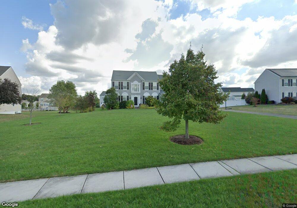
216 Bartlett Dr Mickleton, NJ 08056
Estimated Value: $648,353 - $791,000
Studio
--
Bath
2,876
Sq Ft
$260/Sq Ft
Est. Value
About This Home
This home is located at 216 Bartlett Dr, Mickleton, NJ 08056 and is currently estimated at $748,338, approximately $260 per square foot. 216 Bartlett Dr is a home located in Gloucester County with nearby schools including Jeffrey Clark School, Samuel Mickle School, and Kingsway Regional Middle School.
Ownership History
Date
Name
Owned For
Owner Type
Purchase Details
Closed on
Oct 28, 2008
Sold by
Pulte Homes Of Nj Limited Partnership
Bought by
Michal Albert J and Michal Natalie J
Current Estimated Value
Home Financials for this Owner
Home Financials are based on the most recent Mortgage that was taken out on this home.
Original Mortgage
$185,210
Outstanding Balance
$118,817
Interest Rate
6.13%
Mortgage Type
Purchase Money Mortgage
Estimated Equity
$629,521
Create a Home Valuation Report for This Property
The Home Valuation Report is an in-depth analysis detailing your home's value as well as a comparison with similar homes in the area
Home Values in the Area
Average Home Value in this Area
Purchase History
| Date | Buyer | Sale Price | Title Company |
|---|---|---|---|
| Michal Albert J | $420,210 | Surety Title Corporation |
Source: Public Records
Mortgage History
| Date | Status | Borrower | Loan Amount |
|---|---|---|---|
| Open | Michal Albert J | $185,210 |
Source: Public Records
Tax History
| Year | Tax Paid | Tax Assessment Tax Assessment Total Assessment is a certain percentage of the fair market value that is determined by local assessors to be the total taxable value of land and additions on the property. | Land | Improvement |
|---|---|---|---|---|
| 2025 | $12,090 | $380,300 | $117,400 | $262,900 |
| 2024 | $11,706 | $380,300 | $117,400 | $262,900 |
| 2023 | $11,706 | $380,300 | $117,400 | $262,900 |
| 2022 | $11,375 | $380,300 | $117,400 | $262,900 |
| 2021 | $11,451 | $380,300 | $117,400 | $262,900 |
| 2020 | $11,504 | $380,300 | $117,400 | $262,900 |
| 2019 | $11,386 | $380,300 | $117,400 | $262,900 |
| 2018 | $11,322 | $343,400 | $104,000 | $239,400 |
| 2017 | $11,174 | $343,400 | $104,000 | $239,400 |
| 2016 | $11,044 | $343,400 | $104,000 | $239,400 |
| 2015 | $10,584 | $343,400 | $104,000 | $239,400 |
| 2014 | $9,931 | $343,400 | $104,000 | $239,400 |
Source: Public Records
Map
Nearby Homes
- 71 W Tomlin Station Rd
- 17 Polo Run
- 241 Gaunt Dr
- 761 Rattling Run Rd
- 424 Country Way
- 50 Mill Rd
- 415 Country Way
- 0 Tomlin Station Rd Unit NJGL2061600
- 67 E Rattling Run Rd
- 18 Millwood Dr
- 200 David Mills Ln
- 792 Paulsboro Rd
- 788 Paulsboro Rd
- 120 Jubilee Dr
- 10 & 26 Garwin Rd
- 209 Charles Corliss Blvd
- 43 45 Repaupo Station Rd
- 355 Friendship Rd
- 155 Rulon Rd
- 312 Croce Ave
- 218 Bartlett Dr
- 214 Bartlett Dr
- 211 Smallwood Dr
- 213 Smallwood Dr
- 209 Smallwood Dr
- 212 Bartlett Dr
- 220 Bartlett Dr
- 217 Bartlett Dr
- 215 Bartlett Dr
- 215 Smallwood Dr
- 207 Smallwood Dr
- 219 Bartlett Dr
- 217 Smallwood Dr
- 222 Bartlett Dr
- 210 Bartlett Dr
- 1 Putnam Ct
- 205 Smallwood Dr
- 1 Randolph Ct
- 22 Putnam Ct
- 20 Putnam Ct
Your Personal Tour Guide
Ask me questions while you tour the home.