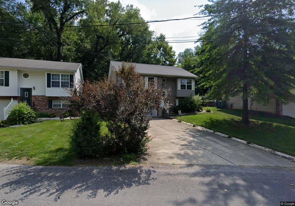
216 Branch St Collinsville, IL 62234
Estimated Value: $160,249 - $233,000
3
Beds
2
Baths
884
Sq Ft
$233/Sq Ft
Est. Value
About This Home
This home is located at 216 Branch St, Collinsville, IL 62234 and is currently estimated at $205,562, approximately $232 per square foot. 216 Branch St is a home located in Madison County with nearby schools including John A Renfro Elementary School, Dorris Intermediate School, and Collinsville Middle School.
Ownership History
Date
Name
Owned For
Owner Type
Purchase Details
Closed on
Aug 12, 2003
Sold by
Mcnally Jim F and Mcnally Karen L
Bought by
Lowe Shane M
Current Estimated Value
Home Financials for this Owner
Home Financials are based on the most recent Mortgage that was taken out on this home.
Original Mortgage
$99,000
Outstanding Balance
$43,119
Interest Rate
5.47%
Mortgage Type
Purchase Money Mortgage
Estimated Equity
$162,443
Purchase Details
Closed on
Jan 22, 2003
Sold by
Seiber James A and Seiber Erma I
Bought by
Mcnally Jim F and Mcnally Karen L
Create a Home Valuation Report for This Property
The Home Valuation Report is an in-depth analysis detailing your home's value as well as a comparison with similar homes in the area
Home Values in the Area
Average Home Value in this Area
Purchase History
| Date | Buyer | Sale Price | Title Company |
|---|---|---|---|
| Lowe Shane M | $110,000 | Abstracts & Titles Inc | |
| Mcnally Jim F | -- | Abstracts & Titles Inc |
Source: Public Records
Mortgage History
| Date | Status | Borrower | Loan Amount |
|---|---|---|---|
| Open | Lowe Shane M | $99,000 |
Source: Public Records
Tax History Compared to Growth
Tax History
| Year | Tax Paid | Tax Assessment Tax Assessment Total Assessment is a certain percentage of the fair market value that is determined by local assessors to be the total taxable value of land and additions on the property. | Land | Improvement |
|---|---|---|---|---|
| 2024 | $2,977 | $52,570 | $4,780 | $47,790 |
| 2023 | $2,977 | $48,650 | $4,420 | $44,230 |
| 2022 | $2,807 | $40,140 | $3,960 | $36,180 |
| 2021 | $2,190 | $37,710 | $3,720 | $33,990 |
| 2020 | $2,093 | $35,980 | $3,550 | $32,430 |
| 2019 | $2,023 | $34,750 | $3,430 | $31,320 |
| 2018 | $2,259 | $36,980 | $3,570 | $33,410 |
| 2017 | $2,254 | $36,250 | $3,500 | $32,750 |
| 2016 | $2,364 | $36,250 | $3,500 | $32,750 |
| 2015 | $2,194 | $35,310 | $3,410 | $31,900 |
| 2014 | $2,194 | $35,310 | $3,410 | $31,900 |
| 2013 | $2,194 | $35,310 | $3,410 | $31,900 |
Source: Public Records
Map
Nearby Homes
- 1104 State St
- 892 Lester Ave
- 921 Prospect St
- 919 Vine St
- 6430 Lebanon Rd
- 501 Spring
- 1227 Ridge Ave
- 238 Mill St
- 1002 California Ave
- 1210 Constance St
- 1322 Leland St
- 1120 Williams St
- 6506 Timber Lake Dr
- 404 E Church St
- 308 Brown Ave
- 216 S Chestnut St
- 617 N Morrison Ave
- 110 E Church St
- 300 Pine Lake Rd Unit 6
- 300 Pine Lake Rd Unit 7
- 218 Branch St
- 212 Branch St
- 214 Branch St
- 220 Branch St
- 234 Mulberry St
- 222 Branch St
- 1405 Lebanon Rd
- 216 Mulberry St
- 216 Mulberry St
- 214 Mulberry St
- 204 Branch St
- 231 Mulberry St
- 235 Mulberry St
- 227 Mulberry St
- 1411 Lebanon Rd
- 202 Mulberry St
- 1415 Lebanon Rd
- 696 Oak Trail
- 698 Oak Trail
- 702 Oak Trail