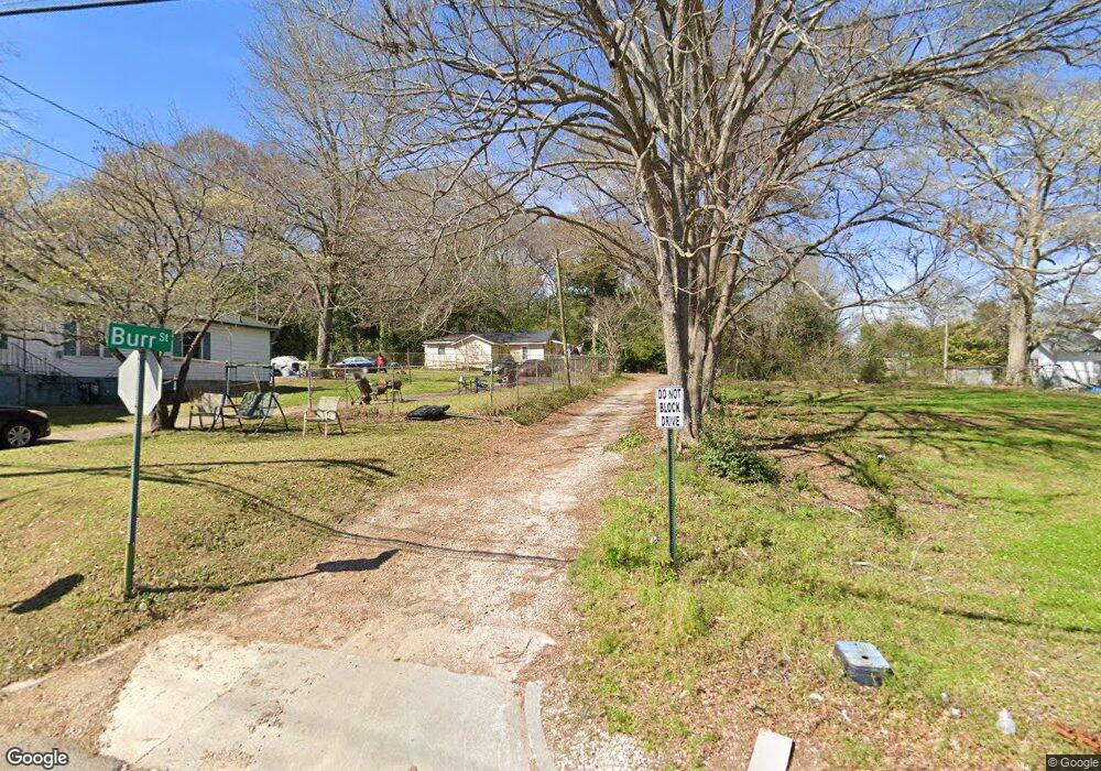
216 Burr St Lagrange, GA 30241
Estimated Value: $61,000 - $89,838
3
Beds
2
Baths
1,066
Sq Ft
$68/Sq Ft
Est. Value
About This Home
This home is located at 216 Burr St, Lagrange, GA 30241 and is currently estimated at $72,960, approximately $68 per square foot. 216 Burr St is a home located in Troup County with nearby schools including Hollis Hand Elementary School, Franklin Forest Elementary School, and Ethel W. Kight Elementary School.
Ownership History
Date
Name
Owned For
Owner Type
Purchase Details
Closed on
Nov 3, 2003
Sold by
John Wallace Moton Etal
Bought by
Dowell Betty Davis
Current Estimated Value
Purchase Details
Closed on
Sep 25, 2003
Sold by
Willie C Moton
Bought by
John Wallace Moton Etal
Purchase Details
Closed on
Sep 24, 2003
Sold by
Fannie Mae Moton
Bought by
Willie C Moton
Purchase Details
Closed on
Aug 11, 1993
Sold by
Fannie Moton
Bought by
Fannie Mae Moton
Purchase Details
Closed on
Jan 1, 1952
Sold by
Carley W T
Bought by
Fannie Moton
Create a Home Valuation Report for This Property
The Home Valuation Report is an in-depth analysis detailing your home's value as well as a comparison with similar homes in the area
Home Values in the Area
Average Home Value in this Area
Purchase History
| Date | Buyer | Sale Price | Title Company |
|---|---|---|---|
| Dowell Betty Davis | $6,000 | -- | |
| John Wallace Moton Etal | -- | -- | |
| Willie C Moton | -- | -- | |
| Fannie Mae Moton | -- | -- | |
| Fannie Moton | -- | -- |
Source: Public Records
Tax History Compared to Growth
Tax History
| Year | Tax Paid | Tax Assessment Tax Assessment Total Assessment is a certain percentage of the fair market value that is determined by local assessors to be the total taxable value of land and additions on the property. | Land | Improvement |
|---|---|---|---|---|
| 2024 | $626 | $22,960 | $1,480 | $21,480 |
| 2023 | $478 | $17,520 | $1,480 | $16,040 |
| 2022 | $461 | $16,520 | $1,480 | $15,040 |
| 2021 | $218 | $7,240 | $1,320 | $5,920 |
| 2020 | $218 | $7,240 | $1,320 | $5,920 |
| 2019 | $200 | $6,640 | $1,320 | $5,320 |
| 2018 | $200 | $6,640 | $1,320 | $5,320 |
| 2017 | $200 | $6,640 | $1,320 | $5,320 |
| 2016 | $194 | $6,434 | $1,350 | $5,084 |
| 2015 | $194 | $6,434 | $1,350 | $5,084 |
| 2014 | $187 | $6,167 | $1,350 | $4,817 |
| 2013 | -- | $6,511 | $1,350 | $5,161 |
Source: Public Records
Map
Nearby Homes
- 0 Locust St
- 910 N 916 1000 1002 N Oak & 1011 1019 1021 Johnson St
- 105 Dix St
- 0 Burr St
- 306 Burr St
- 208 Render St
- 803 1/2 Hines St
- LOT 58 Belk St
- 119 Belk St
- LOT 65 Belk St
- LOT 66 Belk St
- 203 Revis St
- 205 Revis St
- 801 Hines St
- 117 Belk St
- 519 Greenville St
- 200 Mccall St
- 101 McGee St
- 0 Brown St Unit 10550761
- 0 Brown St Unit 10550754