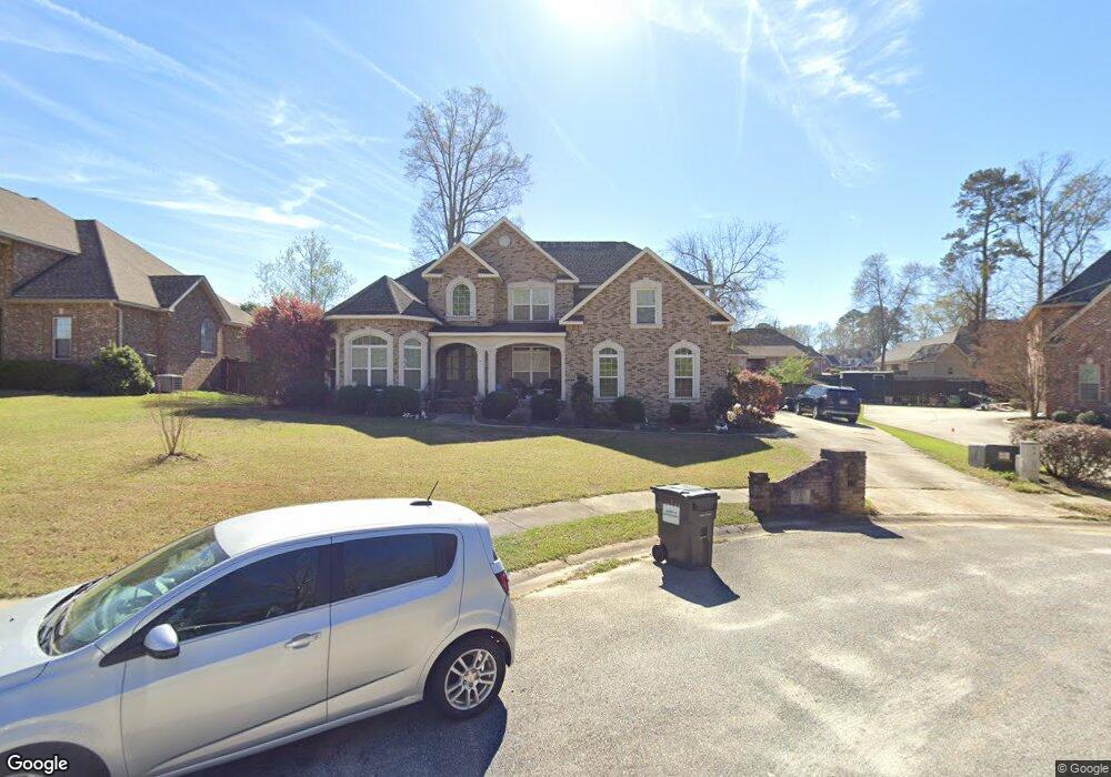
216 Cardiff Ct Unit 45 Bonaire, GA 31005
Estimated Value: $436,000 - $511,000
6
Beds
5
Baths
3,347
Sq Ft
$141/Sq Ft
Est. Value
About This Home
This home is located at 216 Cardiff Ct Unit 45, Bonaire, GA 31005 and is currently estimated at $473,187, approximately $141 per square foot. 216 Cardiff Ct Unit 45 is a home located in Houston County with nearby schools including Bonaire Elementary School, Bonaire Middle School, and Veterans High School.
Ownership History
Date
Name
Owned For
Owner Type
Purchase Details
Closed on
Aug 12, 2013
Sold by
Gausche Hill Marianne
Bought by
Smith Howard L and Smith Tiffanie J
Current Estimated Value
Home Financials for this Owner
Home Financials are based on the most recent Mortgage that was taken out on this home.
Original Mortgage
$361,446
Outstanding Balance
$269,757
Interest Rate
4.48%
Mortgage Type
VA
Estimated Equity
$203,430
Purchase Details
Closed on
Apr 12, 2011
Sold by
Smj Development Inc
Bought by
Gausche Hill Marianne and Hill David L
Home Financials for this Owner
Home Financials are based on the most recent Mortgage that was taken out on this home.
Original Mortgage
$292,800
Interest Rate
4.83%
Mortgage Type
Purchase Money Mortgage
Purchase Details
Closed on
Sep 26, 2006
Sold by
Jsm Development Inc
Bought by
Smj Development Inc
Create a Home Valuation Report for This Property
The Home Valuation Report is an in-depth analysis detailing your home's value as well as a comparison with similar homes in the area
Home Values in the Area
Average Home Value in this Area
Purchase History
| Date | Buyer | Sale Price | Title Company |
|---|---|---|---|
| Smith Howard L | $349,900 | -- | |
| Gausche Hill Marianne | $52,000 | None Available | |
| Smj Development Inc | -- | -- |
Source: Public Records
Mortgage History
| Date | Status | Borrower | Loan Amount |
|---|---|---|---|
| Open | Smith Howard L | $361,446 | |
| Previous Owner | Gausche Hill Marianne | $292,800 |
Source: Public Records
Tax History Compared to Growth
Tax History
| Year | Tax Paid | Tax Assessment Tax Assessment Total Assessment is a certain percentage of the fair market value that is determined by local assessors to be the total taxable value of land and additions on the property. | Land | Improvement |
|---|---|---|---|---|
| 2024 | $4,329 | $180,960 | $19,600 | $161,360 |
| 2023 | $3,774 | $156,160 | $19,600 | $136,560 |
| 2022 | $3,434 | $142,080 | $19,600 | $122,480 |
| 2021 | $3,321 | $136,680 | $19,600 | $117,080 |
| 2020 | $3,161 | $129,520 | $19,600 | $109,920 |
| 2019 | $3,161 | $129,520 | $19,600 | $109,920 |
| 2018 | $3,161 | $129,520 | $19,600 | $109,920 |
| 2017 | $3,164 | $129,520 | $19,600 | $109,920 |
| 2016 | $3,169 | $129,520 | $19,600 | $109,920 |
| 2015 | $3,176 | $129,520 | $19,600 | $109,920 |
| 2014 | -- | $129,520 | $19,600 | $109,920 |
| 2013 | -- | $129,520 | $19,600 | $109,920 |
Source: Public Records
Map
Nearby Homes
- 192 Chapman Ridge Lot 21 Rd
- 808 Brittany Nichole Ct Lot 124
- 126 Forestbrooke Way
- 134 Wessex Dr
- 720 Bedfordshire Ln
- 512 Thurston St
- 113 Rosales Dr
- 221 Olde Hickory Cir
- 206 Ashley Nicole Ave
- 208 Ashley Nicole Ave
- 210 Ashley Nicole Ave
- 924 Abingdon Cove
- 917 Abingdon Cove
- 101 Scarlet Oak Way
- 706 Lindsey Brooke Trace
- 707 Lindsey Brooke Trace