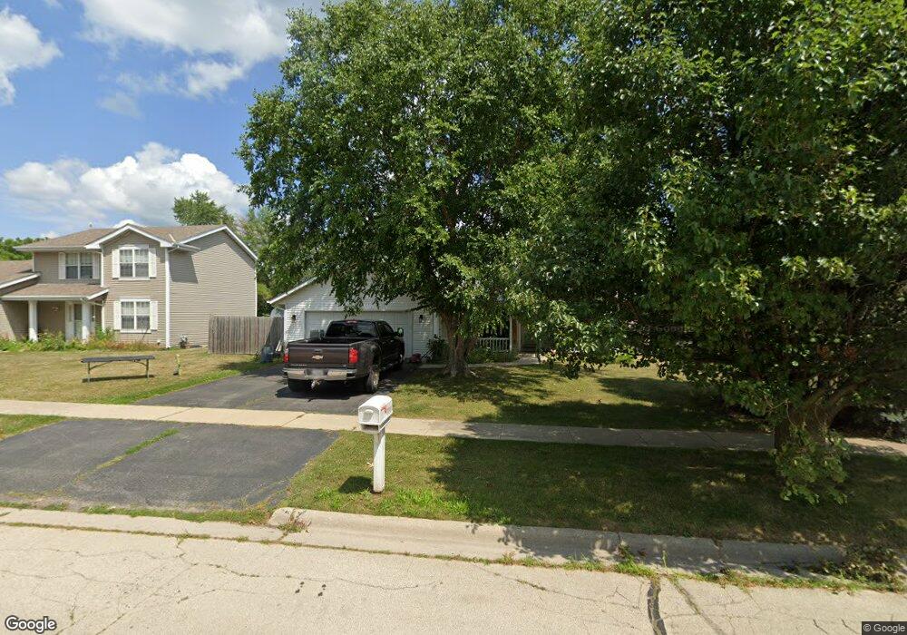
216 Carson Dr Poplar Grove, IL 61065
Estimated Value: $229,000 - $275,175
3
Beds
2
Baths
1,373
Sq Ft
$182/Sq Ft
Est. Value
About This Home
This home is located at 216 Carson Dr, Poplar Grove, IL 61065 and is currently estimated at $250,544, approximately $182 per square foot. 216 Carson Dr is a home located in Boone County with nearby schools including Poplar Grove Elementary School, North Boone Middle School, and North Boone Upper Elementary School.
Ownership History
Date
Name
Owned For
Owner Type
Purchase Details
Closed on
Feb 27, 2017
Sold by
Koehler Elaine L
Bought by
Edwin Randall H and Randall Lauren G
Current Estimated Value
Home Financials for this Owner
Home Financials are based on the most recent Mortgage that was taken out on this home.
Original Mortgage
$112,365
Outstanding Balance
$92,071
Interest Rate
3.75%
Mortgage Type
VA
Estimated Equity
$158,473
Purchase Details
Closed on
Apr 17, 2000
Bought by
Koehler Elaine L and Kuenstler Kennet
Create a Home Valuation Report for This Property
The Home Valuation Report is an in-depth analysis detailing your home's value as well as a comparison with similar homes in the area
Home Values in the Area
Average Home Value in this Area
Purchase History
| Date | Buyer | Sale Price | Title Company |
|---|---|---|---|
| Edwin Randall H | $110,000 | Title Underwriters Agency | |
| Koehler Elaine L | $127,925 | -- |
Source: Public Records
Mortgage History
| Date | Status | Borrower | Loan Amount |
|---|---|---|---|
| Open | Edwin Randall H | $112,365 |
Source: Public Records
Tax History Compared to Growth
Tax History
| Year | Tax Paid | Tax Assessment Tax Assessment Total Assessment is a certain percentage of the fair market value that is determined by local assessors to be the total taxable value of land and additions on the property. | Land | Improvement |
|---|---|---|---|---|
| 2024 | $5,639 | $78,496 | $8,333 | $70,163 |
| 2023 | $5,639 | $70,171 | $8,333 | $61,838 |
| 2022 | $4,392 | $58,676 | $8,333 | $50,343 |
| 2021 | $3,657 | $53,126 | $8,333 | $44,793 |
| 2020 | $3,608 | $53,126 | $8,333 | $44,793 |
| 2019 | $3,792 | $51,144 | $8,333 | $42,811 |
| 2018 | $3,512 | $141,748 | $108,394 | $33,354 |
| 2017 | $4,265 | $45,092 | $8,375 | $36,717 |
| 2016 | $3,302 | $39,275 | $8,333 | $30,942 |
| 2015 | $3,268 | $39,275 | $8,333 | $30,942 |
| 2014 | $432 | $39,548 | $8,333 | $31,215 |
Source: Public Records
Map
Nearby Homes
- 110 N State St
- 100 N State St
- 293 Oak St
- 109 W Edson St
- 109 W Edson St Unit 111 W Edson Street
- 402 Bree Dr
- 528 Oak Ln
- 522 Oak Ln
- 539 Sycamore St
- 543 Sycamore St
- 307 Britnie Dr
- xxxx Illinois 173
- 473 Burled Wood Dr
- 479 Burled Wood Dr
- 13000 Primrose Place Unit A
- 13000 Primrose Place
- 14086 Il Route 76
- 115 Lamplighter Loop SE
- 13766 Il Route 76
- 126 Galleon Run Dr SE