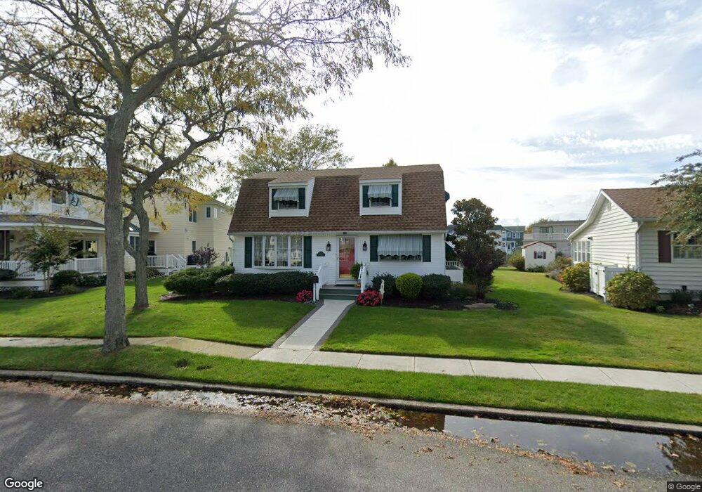
216 Clipper Dr Ocean City, NJ 08226
Estimated Value: $955,000 - $1,197,000
--
Bed
--
Bath
2,041
Sq Ft
$544/Sq Ft
Est. Value
About This Home
This home is located at 216 Clipper Dr, Ocean City, NJ 08226 and is currently estimated at $1,110,339, approximately $544 per square foot. 216 Clipper Dr is a home located in Cape May County with nearby schools including Ocean City Primary School, Ocean City Intermediate School, and Ocean City High School.
Ownership History
Date
Name
Owned For
Owner Type
Purchase Details
Closed on
Nov 27, 2006
Sold by
Hassett Edward F and Hassett Dorothea A
Bought by
Edward & Dorothea Hassett Irrevocable Tr
Current Estimated Value
Purchase Details
Closed on
Nov 3, 2005
Sold by
Hassett Edward F and Hassett Dorothea A
Bought by
Hassett Edward F and Hassett Dorothea A
Purchase Details
Closed on
Dec 3, 1996
Sold by
Draves Carol J
Bought by
Hassett Dorothea A
Home Financials for this Owner
Home Financials are based on the most recent Mortgage that was taken out on this home.
Original Mortgage
$135,000
Interest Rate
7.83%
Purchase Details
Closed on
Apr 21, 1993
Sold by
State Of New Jersey Dep
Bought by
Draves Carol J
Purchase Details
Closed on
May 10, 1991
Sold by
Lovecchio Gloria M
Bought by
Draves Carol J
Create a Home Valuation Report for This Property
The Home Valuation Report is an in-depth analysis detailing your home's value as well as a comparison with similar homes in the area
Home Values in the Area
Average Home Value in this Area
Purchase History
| Date | Buyer | Sale Price | Title Company |
|---|---|---|---|
| Edward & Dorothea Hassett Irrevocable Tr | -- | None Available | |
| Hassett Edward F | -- | -- | |
| Hassett Dorothea A | $149,900 | -- | |
| Draves Carol J | $1,000 | -- | |
| Draves Carol J | $165,000 | -- |
Source: Public Records
Mortgage History
| Date | Status | Borrower | Loan Amount |
|---|---|---|---|
| Previous Owner | Hassett Dorothea A | $135,000 |
Source: Public Records
Tax History Compared to Growth
Tax History
| Year | Tax Paid | Tax Assessment Tax Assessment Total Assessment is a certain percentage of the fair market value that is determined by local assessors to be the total taxable value of land and additions on the property. | Land | Improvement |
|---|---|---|---|---|
| 2025 | $5,821 | $518,800 | $322,500 | $196,300 |
| 2024 | $5,821 | $518,800 | $322,500 | $196,300 |
| 2023 | $5,556 | $518,800 | $322,500 | $196,300 |
| 2022 | $5,338 | $518,800 | $322,500 | $196,300 |
| 2021 | $3,493 | $518,800 | $322,500 | $196,300 |
| 2020 | $5,074 | $518,800 | $322,500 | $196,300 |
| 2019 | $5,017 | $518,800 | $322,500 | $196,300 |
| 2018 | $4,970 | $518,800 | $322,500 | $196,300 |
| 2017 | $4,892 | $518,800 | $322,500 | $196,300 |
| 2016 | $4,706 | $518,800 | $322,500 | $196,300 |
| 2015 | $4,643 | $518,800 | $322,500 | $196,300 |
| 2014 | $4,576 | $518,800 | $322,500 | $196,300 |
Source: Public Records
Map
Nearby Homes
- 209 Bark Dr
- 5404 Bay Ave
- 13 53rd St
- 5315 West Ave
- 5512 Asbury Ave
- 400 E 55th St Unit D
- 400 E 55th St Unit E
- 400 E 55th St Unit F
- 5242 West Ave Unit 2
- 305 57th St Unit 305
- 5441 Central Ave
- 5225 Asbury Ave Unit 1
- 5235 Central Ave
- 4933 Central Ave Unit 4933
- 4919 Central Ave
- 4828 West Ave Unit first floor
- 4923 Central Ave Unit 2
- 4818-20 Asbury Ave
- 4818 Asbury Ave Unit 1
- 4641 West Ave Unit 1