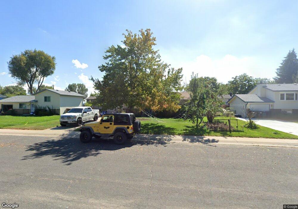
216 E Union Ave La Salle, CO 80645
LaSalle NeighborhoodEstimated Value: $355,529 - $396,000
3
Beds
1
Bath
1,040
Sq Ft
$360/Sq Ft
Est. Value
About This Home
This home is located at 216 E Union Ave, La Salle, CO 80645 and is currently estimated at $374,132, approximately $359 per square foot. 216 E Union Ave is a home located in Weld County with nearby schools including Valley High School, Union Colony Elementary School, and Salida Del Sol Academy.
Ownership History
Date
Name
Owned For
Owner Type
Purchase Details
Closed on
May 6, 1997
Sold by
Mcclain and Kate
Bought by
Walukewicz Paul M and Walukewicz Judith M
Current Estimated Value
Home Financials for this Owner
Home Financials are based on the most recent Mortgage that was taken out on this home.
Original Mortgage
$75,400
Interest Rate
7.97%
Purchase Details
Closed on
Apr 30, 1990
Sold by
Mcdonald Michael E and Mcdonald Regina
Bought by
Mcclain Eric and Mcclain Kate
Purchase Details
Closed on
Sep 24, 1985
Create a Home Valuation Report for This Property
The Home Valuation Report is an in-depth analysis detailing your home's value as well as a comparison with similar homes in the area
Home Values in the Area
Average Home Value in this Area
Purchase History
| Date | Buyer | Sale Price | Title Company |
|---|---|---|---|
| Walukewicz Paul M | $100,000 | -- | |
| Mcclain Eric | $57,000 | -- | |
| -- | -- | -- | |
| Mcdonald Michael E | $55,000 | -- |
Source: Public Records
Mortgage History
| Date | Status | Borrower | Loan Amount |
|---|---|---|---|
| Closed | Walukewicz Paul M | $75,400 |
Source: Public Records
Tax History Compared to Growth
Tax History
| Year | Tax Paid | Tax Assessment Tax Assessment Total Assessment is a certain percentage of the fair market value that is determined by local assessors to be the total taxable value of land and additions on the property. | Land | Improvement |
|---|---|---|---|---|
| 2025 | $1,402 | $22,430 | $2,190 | $20,240 |
| 2024 | $1,402 | $22,430 | $2,190 | $20,240 |
| 2023 | $1,271 | $23,760 | $2,370 | $21,390 |
| 2022 | $1,305 | $18,520 | $2,430 | $16,090 |
| 2021 | $1,351 | $19,050 | $2,500 | $16,550 |
| 2020 | $1,116 | $16,310 | $1,750 | $14,560 |
| 2019 | $1,155 | $16,310 | $1,750 | $14,560 |
| 2018 | $862 | $12,060 | $1,760 | $10,300 |
| 2017 | $871 | $12,060 | $1,760 | $10,300 |
| 2016 | $873 | $12,470 | $1,670 | $10,800 |
| 2015 | $760 | $12,470 | $1,670 | $10,800 |
| 2014 | $501 | $7,870 | $1,670 | $6,200 |
Source: Public Records
Map
Nearby Homes
- 242 Todd Ave
- 115 Main St
- 272 Ley Dr
- 242 W Taylor Ave
- 307 S 3rd Street Ct
- 213 S 4th St
- 325 N 4th St
- 100 S 6th St
- 19315 County Road 50 5
- 346 Sunset Dr
- 917 W Union Ave
- 929 W Independent Ave
- 932 Dove Hill Rd
- 933 W Independent Ave
- 23730 County Road 41
- 0 49th St
- 22563 County Road 39
- 22419 County Road 39
- 1723 42nd St
- 714 42nd St
- 218 E Union Ave
- 214 E Union Ave
- 217 Goodner Ave
- 219 Goodner Ave
- 215 Goodner Ave
- 212 E Union Ave
- 220 E Union Ave
- 213 Goodner Ave
- 221 Goodner Ave
- 210 E Union Ave
- 216 Goodner Ave
- 257 E Union Ave
- 218 Goodner Ave
- 211 Goodner Ave
- 214 Goodner Ave
- 249 E Union Ave
- 263 E Union Ave
- 220 Goodner Ave
- 212 Goodner Ave
- 269 E Union Ave