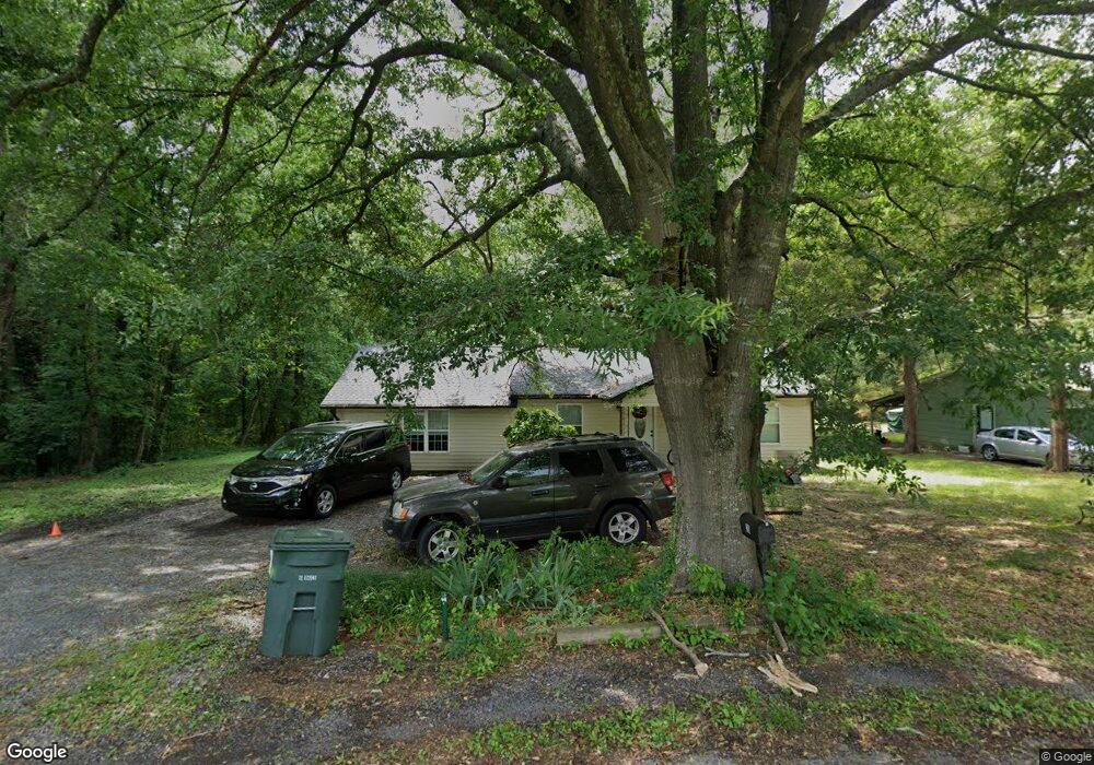
216 Keith St Dalton, GA 30721
Estimated Value: $167,627 - $200,000
Studio
1
Bath
976
Sq Ft
$187/Sq Ft
Est. Value
About This Home
This home is located at 216 Keith St, Dalton, GA 30721 and is currently estimated at $182,657, approximately $187 per square foot. 216 Keith St is a home located in Whitfield County with nearby schools including Eastside Elementary School, Eastbrook Middle School, and Southeast Whitfield County High School.
Ownership History
Date
Name
Owned For
Owner Type
Purchase Details
Closed on
Oct 23, 2009
Sold by
Patton Perry Lee
Bought by
Lankford Mary A
Current Estimated Value
Home Financials for this Owner
Home Financials are based on the most recent Mortgage that was taken out on this home.
Original Mortgage
$65,786
Outstanding Balance
$42,100
Interest Rate
5.01%
Mortgage Type
FHA
Estimated Equity
$140,557
Purchase Details
Closed on
May 12, 2009
Sold by
Patton Ernest Lee
Bought by
Patton Perry Lee
Create a Home Valuation Report for This Property
The Home Valuation Report is an in-depth analysis detailing your home's value as well as a comparison with similar homes in the area
Purchase History
| Date | Buyer | Sale Price | Title Company |
|---|---|---|---|
| Lankford Mary A | $67,000 | -- | |
| Patton Perry Lee | -- | -- |
Source: Public Records
Mortgage History
| Date | Status | Borrower | Loan Amount |
|---|---|---|---|
| Open | Patton Perry Lee | $65,786 |
Source: Public Records
Tax History
| Year | Tax Paid | Tax Assessment Tax Assessment Total Assessment is a certain percentage of the fair market value that is determined by local assessors to be the total taxable value of land and additions on the property. | Land | Improvement |
|---|---|---|---|---|
| 2025 | $1,317 | $55,768 | $8,400 | $47,368 |
| 2024 | $1,317 | $55,768 | $8,400 | $47,368 |
| 2023 | $1,068 | $35,680 | $3,640 | $32,040 |
| 2022 | $28 | $22,584 | $3,640 | $18,944 |
| 2021 | $28 | $22,584 | $3,640 | $18,944 |
| 2020 | $30 | $22,584 | $3,640 | $18,944 |
| 2019 | $32 | $22,584 | $3,640 | $18,944 |
| 2018 | $33 | $22,584 | $3,640 | $18,944 |
| 2017 | $33 | $22,584 | $3,640 | $18,944 |
| 2016 | $8 | $20,695 | $3,465 | $17,230 |
| 2014 | $6 | $20,695 | $3,465 | $17,230 |
| 2013 | -- | $20,695 | $3,465 | $17,230 |
Source: Public Records
Map
Nearby Homes
- 171 Keith St
- 108 Van Buren Dr
- 306 Robinwood Dr
- 406 Lester Ave
- 1217 Hair St Unit 1
- 258 Richardson Dr
- 264 Richardson Dr
- 1902 Bartenfield Dr
- 359 Pacer Ln Unit 4
- 213 Nashville St
- 143 Staten St
- 1118 Dozier St
- 1133 Orman St
- 311 Shady Ln
- 514 Sheridan Ave
- 303 Janice St
- 0 Underwood St Unit 129860
- 2905 E Walnut Ave
- 1114 Underwood St
- 2410 Martin Luther King Junior Blvd
Your Personal Tour Guide
Ask me questions while you tour the home.