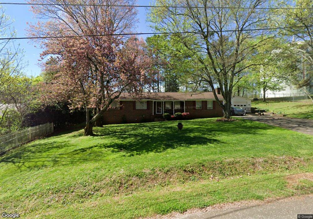
216 Kinman Rd SW Calhoun, GA 30701
Estimated Value: $209,000
3
Beds
2
Baths
1,696
Sq Ft
$123/Sq Ft
Est. Value
About This Home
This home is located at 216 Kinman Rd SW, Calhoun, GA 30701 and is currently priced at $209,000, approximately $123 per square foot. 216 Kinman Rd SW is a home located in Gordon County with nearby schools including Swain Elementary School, Ashworth Middle School, and Gordon Central High School.
Ownership History
Date
Name
Owned For
Owner Type
Purchase Details
Closed on
Sep 12, 2006
Sold by
Duvall Randy
Bought by
Hiles William
Current Estimated Value
Home Financials for this Owner
Home Financials are based on the most recent Mortgage that was taken out on this home.
Original Mortgage
$118,750
Outstanding Balance
$70,573
Interest Rate
6.48%
Mortgage Type
New Conventional
Purchase Details
Closed on
Feb 3, 1998
Bought by
Duvall Randy L and Duvall Judy L
Purchase Details
Closed on
Mar 27, 1997
Bought by
Charles Homes Inc
Purchase Details
Closed on
Mar 30, 1994
Bought by
Clayton Danny R and Clayton Marilyn
Create a Home Valuation Report for This Property
The Home Valuation Report is an in-depth analysis detailing your home's value as well as a comparison with similar homes in the area
Home Values in the Area
Average Home Value in this Area
Purchase History
| Date | Buyer | Sale Price | Title Company |
|---|---|---|---|
| Hiles William | $125,000 | -- | |
| Duvall Randy L | $72,000 | -- | |
| Charles Homes Inc | $63,000 | -- | |
| Clayton Danny R | $63,500 | -- |
Source: Public Records
Mortgage History
| Date | Status | Borrower | Loan Amount |
|---|---|---|---|
| Open | Hiles William | $118,750 |
Source: Public Records
Tax History Compared to Growth
Tax History
| Year | Tax Paid | Tax Assessment Tax Assessment Total Assessment is a certain percentage of the fair market value that is determined by local assessors to be the total taxable value of land and additions on the property. | Land | Improvement |
|---|---|---|---|---|
| 2021 | $1,251 | $43,680 | $4,480 | $39,200 |
| 2020 | $422 | $42,000 | $4,240 | $37,760 |
| 2019 | $429 | $42,200 | $4,240 | $37,960 |
| 2018 | $358 | $39,120 | $4,240 | $34,880 |
| 2017 | $344 | $37,000 | $4,240 | $32,760 |
| 2016 | $306 | $33,080 | $3,800 | $29,280 |
| 2015 | $302 | $32,440 | $3,800 | $28,640 |
| 2014 | $286 | $31,377 | $3,808 | $27,569 |
Source: Public Records
Map
Nearby Homes
- 490 McDaniel Station Rd SW
- 506 McDaniel Station Rd SW
- 458 McDaniel Station Rd SW
- 474 McDaniel Station Rd SW
- 261 Liberty Ln SW
- 339 Stewart Dr SW
- 1401 U S 41
- 00 Belmont Dr
- 1311 Us Highway 41
- 0 W Belmont Dr Unit 10489910
- 271 Old Belwood Rd SE
- 0 Highway 53 Spur SW Unit 7529096
- 0 Richardson Rd SE Unit 10474273
- 0 Richardson Rd SE Unit 7537183
- 128 Victor St
- 201 Porch Loop SE
- 119 Telfair St
- 408 Peters St
- 220 Porch Loop SE
- 119 Peters St
- 208 Kinman Rd SW
- 282 Highland Dr SW
- 190 Kinman Rd SW
- 271 Highland Dr SW
- 199 Poplar St SW
- 168 Kinman Rd SW
- 173 Kinman Rd SW
- 200 Poplar St SW
- 179 Poplar St SW
- 246 Highland Dr SW
- 258 Highland Dr SW
- 245 Highland Dr SW
- 184 Poplar St SW
- 155 Kinman Rd SW
- 0 Kinman Rd Unit 9068943
- 0 Kinman Rd
- 234 Highland Dr SW
- 205 Pine St SW
- 235 Highland Dr SW
- 148 Kinman Rd SW