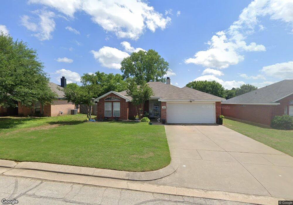
216 Lone Star St Joshua, TX 76058
Estimated Value: $263,000 - $291,000
3
Beds
2
Baths
1,698
Sq Ft
$160/Sq Ft
Est. Value
About This Home
This home is located at 216 Lone Star St, Joshua, TX 76058 and is currently estimated at $272,426, approximately $160 per square foot. 216 Lone Star St is a home located in Johnson County with nearby schools including A.G. Elder Elementary School, Joshua High School, and Joshua High School - 9th Grade Campus.
Ownership History
Date
Name
Owned For
Owner Type
Purchase Details
Closed on
Feb 9, 2018
Sold by
R8 Holdings Llc
Bought by
Fisher Real Properties Llc
Current Estimated Value
Home Financials for this Owner
Home Financials are based on the most recent Mortgage that was taken out on this home.
Original Mortgage
$100,875
Interest Rate
3.99%
Mortgage Type
Purchase Money Mortgage
Purchase Details
Closed on
Jul 11, 2001
Sold by
Mcclure Kathy
Bought by
Rb Holdings Llc
Create a Home Valuation Report for This Property
The Home Valuation Report is an in-depth analysis detailing your home's value as well as a comparison with similar homes in the area
Home Values in the Area
Average Home Value in this Area
Purchase History
| Date | Buyer | Sale Price | Title Company |
|---|---|---|---|
| Fisher Real Properties Llc | -- | None Available | |
| Rb Holdings Llc | $107,000 | None Available |
Source: Public Records
Mortgage History
| Date | Status | Borrower | Loan Amount |
|---|---|---|---|
| Previous Owner | Fisher Real Properties Llc | $100,875 |
Source: Public Records
Tax History Compared to Growth
Tax History
| Year | Tax Paid | Tax Assessment Tax Assessment Total Assessment is a certain percentage of the fair market value that is determined by local assessors to be the total taxable value of land and additions on the property. | Land | Improvement |
|---|---|---|---|---|
| 2025 | $6,217 | $255,450 | $40,000 | $215,450 |
| 2024 | $6,217 | $255,450 | $40,000 | $215,450 |
| 2023 | $5,686 | $255,450 | $40,000 | $215,450 |
| 2022 | $5,082 | $202,524 | $40,000 | $162,524 |
| 2021 | $4,387 | $173,297 | $25,000 | $148,297 |
| 2020 | $4,745 | $173,297 | $25,000 | $148,297 |
| 2019 | $4,986 | $173,297 | $25,000 | $148,297 |
| 2018 | $3,948 | $133,510 | $25,000 | $108,510 |
| 2017 | $4,458 | $150,872 | $25,000 | $125,872 |
| 2016 | $3,803 | $136,427 | $15,000 | $121,427 |
| 2015 | $2,917 | $116,999 | $15,000 | $101,999 |
| 2014 | $2,917 | $116,999 | $15,000 | $101,999 |
Source: Public Records
Map
Nearby Homes
- 414 Dakota Dr
- 312 Comanche Walk
- 304 Comanche Walk
- 527 Lone Star St
- 520 Palo Duro Dr
- 608 W Sheila Cir
- 613 W Sheila Cir
- 108 Sally St
- 628 E Sheila Cir
- 629 E Sheila Cir
- 200 Wayside St
- 205 Greenhill Dr
- 107 E 10th St
- 209 E 8th St
- 307 Gregory St
- 102 Carlock St
- 401 Eddy Ave
- 500 N Main St
- 601 Eddy Ave
- 408 Eddy Ave
- 214 Lone Star St
- 218 Lone Star St
- 603 Dakota Dr
- 321 Comanche Walk
- 106 Catie Ln
- 420 Dakota Dr
- 210 Lone Star St
- 605 Dakota Dr
- 104 Catie Ln
- 319 Comanche Walk
- 502 Lone Star St
- 418 Dakota Dr
- 602 Dakota Dr
- 607 Dakota Dr
- 421 Dakota Dr
- 318 Comanche Walk
- 208 Lone Star St
- 102 Catie Ln
- 317 Comanche Walk
- 604 Dakota Dr