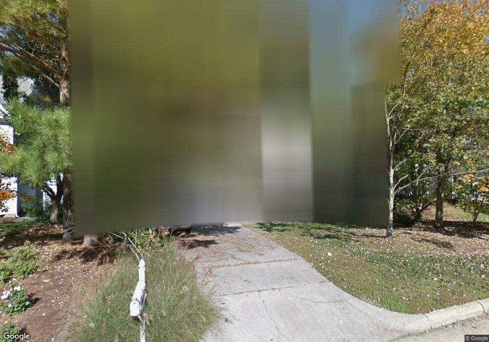
216 Lost Tree Ln Cary, NC 27513
West Cary NeighborhoodEstimated Value: $516,000 - $559,000
About This Home
This home is located at 216 Lost Tree Ln, Cary, NC 27513 and is currently estimated at $535,726, approximately $240 per square foot. 216 Lost Tree Ln is a home located in Wake County with nearby schools including Laurel Park Elementary, Salem Middle, and Green Hope High.
Ownership History
We collect this data history from publicly available records. To have your information removed, we recommend requesting removal directly through your county’s website.
Purchase Details
Home Financials for this Owner
Home Financials are based on the most recent Mortgage that was taken out on this home.Home Values in the Area
Average Home Value in this Area
Purchase History
We collect this data history from publicly available records. To have your information removed, we recommend requesting removal directly through your county’s website.
| Date | Buyer | Sale Price | Title Company |
|---|---|---|---|
| $255,000 | Attorney |
Mortgage History
We collect this data history from publicly available records. To have your information removed, we recommend requesting removal directly through your county’s website.
| Date | Status | Borrower | Loan Amount |
|---|---|---|---|
| Open | $204,000 |
Tax History
We collect this data history from publicly available records. To have your information removed, we recommend requesting removal directly through your county’s website.
| Year | Tax Paid | Tax Assessment Tax Assessment Total Assessment is a certain percentage of the fair market value that is determined by local assessors to be the total taxable value of land and additions on the property. | Land | Improvement |
|---|---|---|---|---|
| 2025 | $4,464 | $518,440 | $160,000 | $358,440 |
| 2024 | $4,367 | $518,440 | $160,000 | $358,440 |
| 2023 | $3,403 | $337,622 | $95,000 | $242,622 |
| 2022 | $3,276 | $337,622 | $95,000 | $242,622 |
| 2021 | $3,211 | $337,622 | $95,000 | $242,622 |
| 2020 | $3,119 | $326,235 | $95,000 | $231,235 |
| 2019 | $2,981 | $276,523 | $85,000 | $191,523 |
| 2018 | $2,797 | $276,523 | $85,000 | $191,523 |
| 2017 | $2,688 | $276,523 | $85,000 | $191,523 |
| 2016 | $2,648 | $276,523 | $85,000 | $191,523 |
| 2015 | $2,464 | $248,297 | $70,000 | $178,297 |
| 2014 | -- | $248,297 | $70,000 | $178,297 |
Map
- 110 Lost Tree Ln
- 104 Lost Tree Ln
- 100 Lost Tree Ln
- 1061 Monmouth Loop
- 324 Vinca Cir
- 1325 Diamond Valley Dr
- 416 Center Pointe Dr
- 215 Pointe Crest Ct
- 842 Salem Pointe Place
- 113 Arvo Ln
- 1756 Laurel Park Place
- 864 Bay Bouquet Ln
- 701 Royal Tower Way
- 619 Laurel Berry Ct
- 1757 Laurel Park Place
- 204 Royal Tower Way
- 110 Mereworth Place
- 938 Steel Mill Ln
- 942 Steel Mill Ln
- 944 Steel Mill Ln
- 218 Lost Tree Ln
- 214 Lost Tree Ln
- 220 Lost Tree Ln
- 212 Lost Tree Ln
- 229 Lost Tree Ln
- 231 Lost Tree Ln
- 201 Smokemont Dr
- 203 Smokemont Dr
- 210 Lost Tree Ln
- 222 Lost Tree Ln
- 115 Smokemont Dr
- 205 Smokemont Dr
- 227 Lost Tree Ln
- 208 Lost Tree Ln
- 233 Lost Tree Ln
- 217 Lost Tree Ln
- 111 Smokemont Dr
- 207 Smokemont Dr
- 225 Lost Tree Ln
- 224 Lost Tree Ln
Ask me questions while you tour the home.