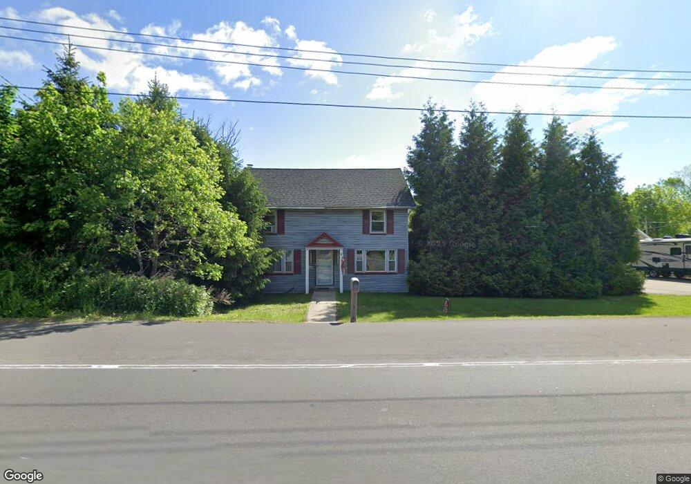
216 Main St Andover, NJ 07821
Estimated Value: $410,000 - $521,000
3
Beds
2
Baths
1,806
Sq Ft
$250/Sq Ft
Est. Value
About This Home
This home is located at 216 Main St, Andover, NJ 07821 and is currently estimated at $451,996, approximately $250 per square foot. 216 Main St is a home located in Sussex County with nearby schools including Florence M. Burd School, Long Pond School, and Tranquility Adventist School.
Ownership History
Date
Name
Owned For
Owner Type
Purchase Details
Closed on
Oct 5, 2004
Sold by
Caruso Jessica M and Caruso Michael J
Bought by
Amaducci Anthony
Current Estimated Value
Home Financials for this Owner
Home Financials are based on the most recent Mortgage that was taken out on this home.
Original Mortgage
$180,000
Outstanding Balance
$89,623
Interest Rate
5.85%
Mortgage Type
Purchase Money Mortgage
Estimated Equity
$362,373
Purchase Details
Closed on
Jul 1, 1994
Sold by
Cummins Pauline B
Bought by
Marquard Jessica A
Create a Home Valuation Report for This Property
The Home Valuation Report is an in-depth analysis detailing your home's value as well as a comparison with similar homes in the area
Home Values in the Area
Average Home Value in this Area
Purchase History
| Date | Buyer | Sale Price | Title Company |
|---|---|---|---|
| Amaducci Anthony | $225,000 | -- | |
| Marquard Jessica A | $100,000 | -- |
Source: Public Records
Mortgage History
| Date | Status | Borrower | Loan Amount |
|---|---|---|---|
| Open | Amaducci Anthony | $180,000 |
Source: Public Records
Tax History
| Year | Tax Paid | Tax Assessment Tax Assessment Total Assessment is a certain percentage of the fair market value that is determined by local assessors to be the total taxable value of land and additions on the property. | Land | Improvement |
|---|---|---|---|---|
| 2025 | $7,650 | $235,300 | $76,400 | $158,900 |
| 2024 | $7,621 | $235,300 | $76,400 | $158,900 |
Source: Public Records
Map
Nearby Homes
- 1 Brandon Ct
- 96 Brighton Rd
- 5 Percy Place
- 26 Hemlock Rd
- 7 Martin St
- 41 Kilroy Rd
- 8 Cub Lake Rd
- 0 Martin St
- 15 Bernard Dr
- 00 Forest Lakes Dr
- 17 Youngs Rd
- 153 Forest Lake Dr N
- 52 Whitehall Rd
- 120 Goodale Rd
- 190 Andover Mohawk Rd
- 6 Jans Way
- 116 W Sunset Blvd
- 56A Sleepy Hollow Rd
- 30 MacKerley Rd
- 5 Hidden Valley Rd
- 212 Main St
- 219 Main St Unit 4
- 219 Main St Unit 1
- 219 Main St Unit 2
- 219 Main St
- 210 Main St
- 211 Main St
- 209 Main St
- 206 Main St
- 206 Main St Unit 2
- 0 Limecrest Rd
- 205 Main St
- 205 Main St Unit 1
- 6 Limecrest Rd
- 8 Limecrest Rd
- 229 Main St
- 229 Main St Unit 9999
- 11 Limecrest Rd
- 10 Limecrest Rd
- 230 Main St
Your Personal Tour Guide
Ask me questions while you tour the home.