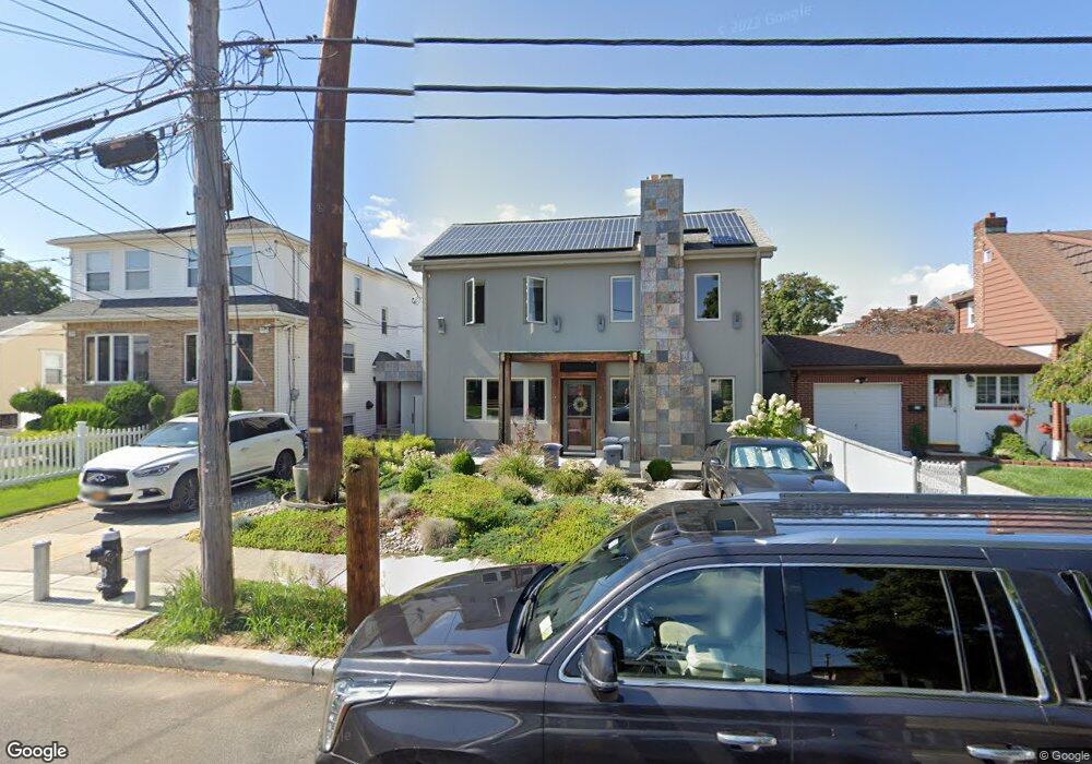
216 Mallory Ave Staten Island, NY 10305
South Beach NeighborhoodEstimated Value: $659,015 - $982,000
5
Beds
2
Baths
1,980
Sq Ft
$433/Sq Ft
Est. Value
About This Home
This home is located at 216 Mallory Ave, Staten Island, NY 10305 and is currently estimated at $858,254, approximately $433 per square foot. 216 Mallory Ave is a home located in Richmond County with nearby schools including P.S. 46 Albert V Maniscalco, I.S. 49 Berta A Dreyfus, and Curtis High School.
Ownership History
Date
Name
Owned For
Owner Type
Purchase Details
Closed on
Nov 21, 2013
Sold by
Wilk Anna
Bought by
Wilk Anna and Wilk Adam
Current Estimated Value
Purchase Details
Closed on
Jul 30, 2002
Sold by
Marku Vijosa
Bought by
Wilk Anna
Home Financials for this Owner
Home Financials are based on the most recent Mortgage that was taken out on this home.
Original Mortgage
$312,000
Interest Rate
6.24%
Mortgage Type
Purchase Money Mortgage
Create a Home Valuation Report for This Property
The Home Valuation Report is an in-depth analysis detailing your home's value as well as a comparison with similar homes in the area
Home Values in the Area
Average Home Value in this Area
Purchase History
| Date | Buyer | Sale Price | Title Company |
|---|---|---|---|
| Wilk Anna | -- | Commonwealth Land Title Insu | |
| Wilk Anna | $390,000 | Newell & Talarico |
Source: Public Records
Mortgage History
| Date | Status | Borrower | Loan Amount |
|---|---|---|---|
| Previous Owner | Wilk Anna | $312,000 |
Source: Public Records
Tax History
| Year | Tax Paid | Tax Assessment Tax Assessment Total Assessment is a certain percentage of the fair market value that is determined by local assessors to be the total taxable value of land and additions on the property. | Land | Improvement |
|---|---|---|---|---|
| 2025 | $4,390 | $45,000 | $4,051 | $40,949 |
| 2024 | $4,390 | $44,220 | $4,123 | $40,097 |
| 2023 | $4,406 | $21,694 | $4,136 | $17,558 |
| 2022 | $4,086 | $35,580 | $8,340 | $27,240 |
| 2021 | $4,063 | $34,440 | $8,340 | $26,100 |
| 2020 | $3,856 | $30,000 | $8,340 | $21,660 |
| 2019 | $1,496 | $30,840 | $8,340 | $22,500 |
| 2018 | $3,685 | $18,078 | $4,636 | $13,442 |
| 2017 | $3,477 | $17,055 | $5,604 | $11,451 |
| 2016 | $3,217 | $16,090 | $6,539 | $9,551 |
| 2015 | $2,913 | $15,180 | $6,960 | $8,220 |
| 2014 | $2,913 | $15,180 | $6,960 | $8,220 |
Source: Public Records
Map
Nearby Homes
- 200 Mallory Ave
- 220 Norway Ave
- 20 Cameron Ave
- 504 Mcclean Ave
- 14 Reid Ave
- 337 Parkinson Ave
- 335 Parkinson Ave
- 182 Olympia Blvd
- 189 Quintard St
- 40 Mclaughlin St
- 62 Mclaughlin St
- 53 Mclaughlin St
- 179 Hickory Ave
- 53 Andrews St
- 29 Diaz St
- 206 Benton Ave
- 10 Jerome Ave
- 11 Jerome Ave
- 38 Foch Ave
- 115 W Broadway Unit 4
- 218 Mallory Ave
- 220 Mallory Ave
- 214 Mallory Ave
- 222 Mallory Ave
- 226 Mallory Ave
- 208 Mallory Ave Unit 2
- 208 Mallory Ave
- 232 Mallory Ave
- 233 Norway Ave
- 229 Norway Ave
- 234 Mallory Ave
- 221 Mallory Ave
- 225 Norway Ave
- 241 Norway Ave
- 225 Mallory Ave
- 217 Mallory Ave
- 223 Norway Ave
- 243 Norway Ave
- 221 Norway Ave
- 213 Mallory Ave
Your Personal Tour Guide
Ask me questions while you tour the home.