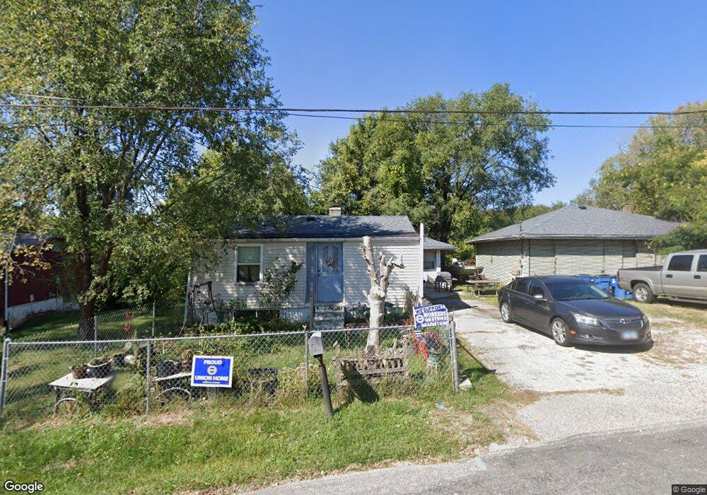
216 Mulberry St Collinsville, IL 62234
Estimated Value: $75,094 - $142,000
3
Beds
1
Bath
546
Sq Ft
$192/Sq Ft
Est. Value
About This Home
This home is located at 216 Mulberry St, Collinsville, IL 62234 and is currently estimated at $104,774, approximately $191 per square foot. 216 Mulberry St is a home located in Madison County with nearby schools including John A Renfro Elementary School, Dorris Intermediate School, and Collinsville Middle School.
Ownership History
Date
Name
Owned For
Owner Type
Purchase Details
Closed on
Mar 18, 2004
Sold by
Cole Barbara J
Bought by
Mize Ronald J
Current Estimated Value
Home Financials for this Owner
Home Financials are based on the most recent Mortgage that was taken out on this home.
Original Mortgage
$26,000
Outstanding Balance
$12,211
Interest Rate
5.74%
Mortgage Type
Purchase Money Mortgage
Estimated Equity
$92,563
Create a Home Valuation Report for This Property
The Home Valuation Report is an in-depth analysis detailing your home's value as well as a comparison with similar homes in the area
Home Values in the Area
Average Home Value in this Area
Purchase History
| Date | Buyer | Sale Price | Title Company |
|---|---|---|---|
| Mize Ronald J | $15,500 | Chicago Title |
Source: Public Records
Mortgage History
| Date | Status | Borrower | Loan Amount |
|---|---|---|---|
| Open | Mize Ronald J | $26,000 |
Source: Public Records
Tax History Compared to Growth
Tax History
| Year | Tax Paid | Tax Assessment Tax Assessment Total Assessment is a certain percentage of the fair market value that is determined by local assessors to be the total taxable value of land and additions on the property. | Land | Improvement |
|---|---|---|---|---|
| 2024 | $768 | $18,010 | $9,590 | $8,420 |
| 2023 | $768 | $16,670 | $8,880 | $7,790 |
| 2022 | $702 | $14,970 | $7,940 | $7,030 |
| 2021 | $549 | $14,060 | $7,460 | $6,600 |
| 2020 | $518 | $13,420 | $7,120 | $6,300 |
| 2019 | $490 | $12,960 | $6,880 | $6,080 |
| 2018 | $267 | $9,550 | $4,870 | $4,680 |
| 2017 | $167 | $8,130 | $3,500 | $4,630 |
| 2016 | $166 | $8,130 | $3,500 | $4,630 |
| 2015 | $144 | $7,920 | $3,410 | $4,510 |
| 2014 | $144 | $7,920 | $3,410 | $4,510 |
| 2013 | $144 | $7,920 | $3,410 | $4,510 |
Source: Public Records
Map
Nearby Homes
- 892 Lester Ave
- 6430 Lebanon Rd
- 921 Prospect St
- 919 Vine St
- 1227 Ridge Ave
- 501 Spring
- 1322 Leland St
- 1002 California Ave
- 238 Mill St
- 1210 Constance St
- 6506 Timber Lake Dr
- 1120 Williams St
- 308 Brown Ave
- 404 E Church St
- 216 S Chestnut St
- 300 Pine Lake Rd Unit 6
- 300 Pine Lake Rd Unit 7
- 617 N Morrison Ave
- 203 Greenfield Dr
- 110 E Church St
- 216 Mulberry St
- 214 Mulberry St
- 234 Mulberry St
- 227 Mulberry St
- 1405 Lebanon Rd
- 214 Branch St
- 212 Branch St
- 216 Branch St
- 231 Mulberry St
- 202 Mulberry St
- 204 Branch St
- 218 Branch St
- 1415 Lebanon Rd
- 203 Mulberry St
- 1417 Lebanon Rd
- 1411 Lebanon Rd
- 220 Branch St
- 235 Mulberry St
- 222 Branch St
- 1412 Lebanon Rd