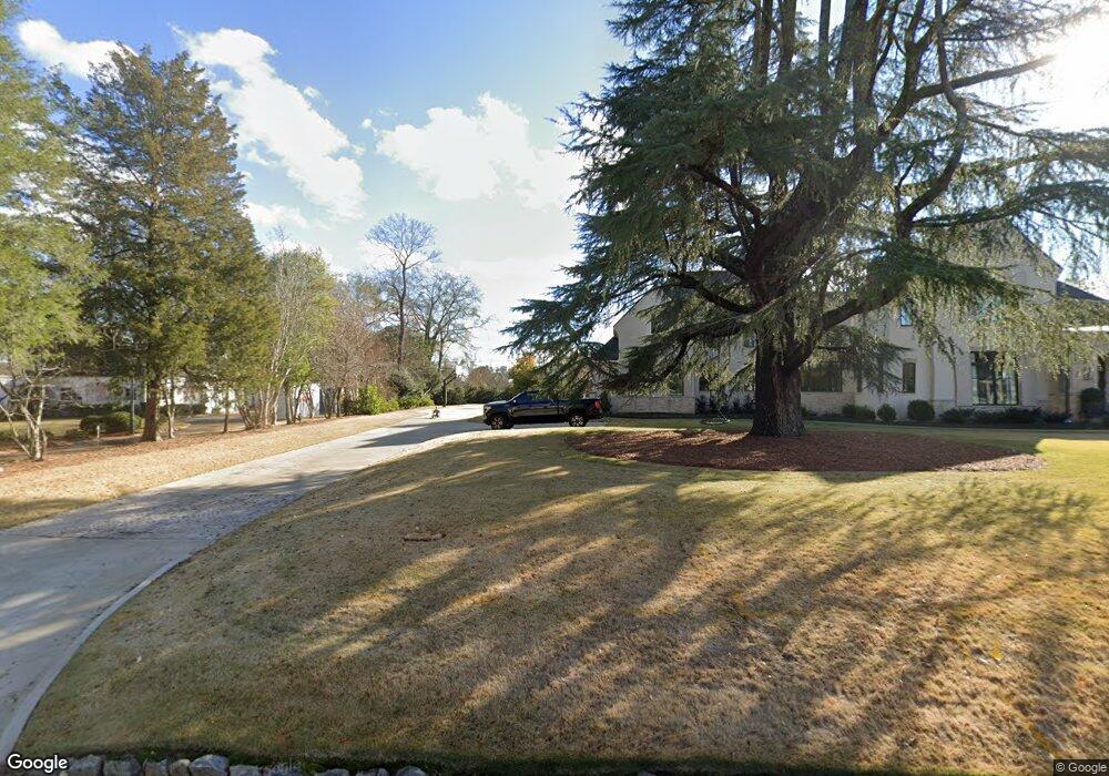
216 N Linton Rd Columbus, GA 31904
Northern Columbus NeighborhoodEstimated Value: $709,660 - $888,000
4
Beds
5
Baths
5,284
Sq Ft
$145/Sq Ft
Est. Value
About This Home
This home is located at 216 N Linton Rd, Columbus, GA 31904 and is currently estimated at $767,415, approximately $145 per square foot. 216 N Linton Rd is a home located in Muscogee County with nearby schools including River Road Elementary School, Double Churches Middle School, and Northside High School.
Ownership History
Date
Name
Owned For
Owner Type
Purchase Details
Closed on
Mar 28, 2025
Sold by
Briscoe Charles K
Bought by
Briscoe Lauren B
Current Estimated Value
Purchase Details
Closed on
May 7, 2020
Sold by
Todd Richard B
Bought by
Briscoe Charles K and Briscoe Lauren B
Create a Home Valuation Report for This Property
The Home Valuation Report is an in-depth analysis detailing your home's value as well as a comparison with similar homes in the area
Home Values in the Area
Average Home Value in this Area
Purchase History
| Date | Buyer | Sale Price | Title Company |
|---|---|---|---|
| Briscoe Lauren B | -- | None Listed On Document | |
| Briscoe Lauren B | -- | None Listed On Document | |
| Briscoe Charles K | $490,000 | -- |
Source: Public Records
Tax History Compared to Growth
Tax History
| Year | Tax Paid | Tax Assessment Tax Assessment Total Assessment is a certain percentage of the fair market value that is determined by local assessors to be the total taxable value of land and additions on the property. | Land | Improvement |
|---|---|---|---|---|
| 2025 | $12,068 | $308,296 | $34,152 | $274,144 |
| 2024 | $12,068 | $308,296 | $34,152 | $274,144 |
| 2023 | $12,144 | $308,296 | $34,152 | $274,144 |
| 2022 | $9,772 | $239,332 | $34,152 | $205,180 |
| 2021 | $8,005 | $195,648 | $34,152 | $161,496 |
| 2020 | $5,906 | $137,424 | $34,152 | $103,272 |
| 2019 | $5,927 | $137,424 | $34,152 | $103,272 |
| 2018 | $5,927 | $137,424 | $34,152 | $103,272 |
| 2017 | $5,947 | $137,424 | $34,152 | $103,272 |
| 2016 | $5,970 | $158,001 | $23,993 | $134,008 |
| 2015 | $5,978 | $158,001 | $23,993 | $134,008 |
| 2014 | $5,986 | $158,001 | $23,993 | $134,008 |
| 2013 | -- | $158,001 | $23,993 | $134,008 |
Source: Public Records
Map
Nearby Homes
- 6500 Standing Boy Rd Unit 6
- 6101 River Rd Unit 2
- 6528 Standing Boy Rd
- 6688 Creekview Place
- 6601 Standing Boy Rd
- 5 Bridgecreek Ct
- 5777 Roaring Branch Rd
- 438 Newport Place
- 521 Newport Place
- 6390 Cape Cod Dr
- 6130 Brookstone Blvd
- 616 Newport Place
- 254 Cascade Rd
- 5908 Brookstone Blvd
- 222 Cascade Rd
- 235 Pebblebrook Ln
- 306 Cascade Rd
- 223 Pebblebrook Ln
- 6619 Woodberry Rd
- 239 Clearbrook Ln
- 211 N Linton Rd
- 222 S Linton Rd
- 204 S Linton Rd
- 229 N Linton Rd
- 240 S Linton Rd
- 6230 Mountainview Dr
- 6382 Mountainview Dr
- 6250 Mountainview Dr
- 6240 Mountainview Dr
- 245 N Linton Rd
- 6366 Mountainview Dr
- 6400-unit-62 Green Island Dr Unit 62
- 6200 Mountainview Dr
- 6352 Mountainview Dr
- 6260 Mountainview Dr
- 6400 Green Island Dr Unit 68
- 6400 Green Island Dr Unit 71
- 6400 Green Island Dr Unit 72
- 6400 Green Island Dr Unit 50
- 6400 Green Island Dr Unit 43