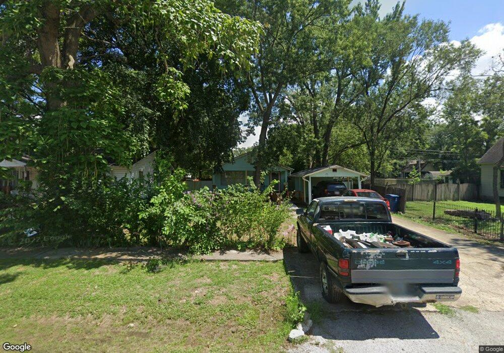
216 N Rust Ave Gentry, AR 72734
Estimated Value: $152,448 - $218,000
Studio
2
Baths
1,180
Sq Ft
$162/Sq Ft
Est. Value
About This Home
This home is located at 216 N Rust Ave, Gentry, AR 72734 and is currently estimated at $190,612, approximately $161 per square foot. 216 N Rust Ave is a home located in Benton County with nearby schools including Gentry Intermediate School, Gentry Primary School, and Gentry Middle School.
Ownership History
Date
Name
Owned For
Owner Type
Purchase Details
Closed on
Mar 9, 2012
Sold by
Decatur State Bank
Bought by
Tennant Forrest M and Tennant Vanzetta L
Current Estimated Value
Purchase Details
Closed on
Nov 29, 2011
Sold by
Curran Jason and Curran Elizabeth
Bought by
Decatur State Bank
Purchase Details
Closed on
Oct 3, 2003
Bought by
Curran
Purchase Details
Closed on
Sep 6, 2002
Bought by
Curran
Purchase Details
Closed on
Jun 30, 1988
Bought by
Curran
Create a Home Valuation Report for This Property
The Home Valuation Report is an in-depth analysis detailing your home's value as well as a comparison with similar homes in the area
Home Values in the Area
Average Home Value in this Area
Purchase History
| Date | Buyer | Sale Price | Title Company |
|---|---|---|---|
| Tennant Forrest M | $17,000 | Stewart Title Of Ar Inc | |
| Decatur State Bank | $163,082 | None Available | |
| Curran | $53,000 | -- | |
| Curran | -- | -- | |
| Curran | -- | -- |
Source: Public Records
Tax History
| Year | Tax Paid | Tax Assessment Tax Assessment Total Assessment is a certain percentage of the fair market value that is determined by local assessors to be the total taxable value of land and additions on the property. | Land | Improvement |
|---|---|---|---|---|
| 2025 | $978 | $25,636 | $7,000 | $18,636 |
| 2024 | $887 | $25,636 | $7,000 | $18,636 |
| 2023 | $806 | $17,890 | $5,000 | $12,890 |
| 2022 | $785 | $17,890 | $5,000 | $12,890 |
| 2021 | $718 | $17,890 | $5,000 | $12,890 |
| 2020 | $655 | $11,220 | $1,800 | $9,420 |
| 2019 | $655 | $11,220 | $1,800 | $9,420 |
| 2018 | $655 | $11,220 | $1,800 | $9,420 |
| 2017 | $610 | $11,220 | $1,800 | $9,420 |
| 2016 | $610 | $11,220 | $1,800 | $9,420 |
| 2015 | $525 | $9,500 | $1,800 | $7,700 |
| 2014 | $525 | $9,500 | $1,800 | $7,700 |
Source: Public Records
Map
Nearby Homes
- 1736 Edens St
- 1700 Edens St
- 1724 Edens St
- 1704 Edens St
- 1728 Edens St
- 1720 Edens St
- 1708 Edens St
- 1740 Pittman St
- 1736 Pittman St
- 1712 Edens St
- 1732 Edens St
- 1716 Edens St
- 1741 Pittman St
- 1737 Pittman St
- 104 N Giles Ave
- 505 N Collins Ave Unit A & B
- 113 S Rust Ave
- 316 N Mckinnon Ave
- 406 W 1st St
- 503 W Arkansas St
- 220 N Rust Ave
- 236 N Rust Ave
- 208 N Rust Ave
- 213 N Nelson Ave
- 204 N Rust Ave
- 300 N Rust Ave
- 209 N Nelson Ave
- 217 N Rust Ave
- 221 N Rust Ave
- 209 N Rust Ave
- 201 N Nelson Ave
- 305 N Rust Ave
- 301 N Nelson Ave
- 308 N Rust Ave
- 205 N Rust Ave
- 205 N Rust Ave
- 316 N Rust Ave
- 307 N Rust Ave
- Lot#5 Rust Ave
- 309 N Rust Ave
Your Personal Tour Guide
Ask me questions while you tour the home.