Estimated Value: $1,102,028 - $1,342,000
4
Beds
3
Baths
2,518
Sq Ft
$481/Sq Ft
Est. Value
About This Home
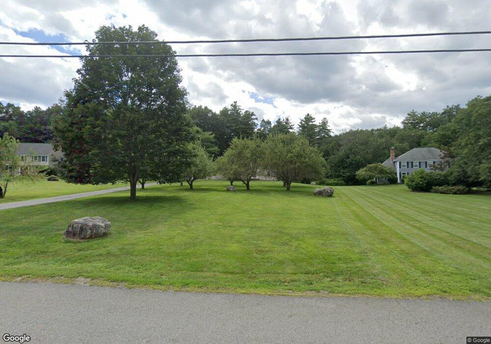
This home is located at 216 Nagog Hill Rd, Acton, MA 01720 and is currently estimated at $1,210,757, approximately $480 per square foot. 216 Nagog Hill Rd is a home located in Middlesex County with nearby schools including Acton-Boxborough Regional High School.
Ownership History
Date
Name
Owned For
Owner Type
Purchase Details
Closed on
Jun 30, 2004
Sold by
Lazdowski Joanne and Lazdowski Paul A
Bought by
Mccarthy Joseph F and Mccarthy Julie A
Current Estimated Value
Home Financials for this Owner
Home Financials are based on the most recent Mortgage that was taken out on this home.
Original Mortgage
$568,000
Outstanding Balance
$285,248
Interest Rate
6.3%
Mortgage Type
Purchase Money Mortgage
Estimated Equity
$925,509
Create a Home Valuation Report for This Property
The Home Valuation Report is an in-depth analysis detailing your home's value as well as a comparison with similar homes in the area
Home Values in the Area
Average Home Value in this Area
Purchase History
| Date | Buyer | Sale Price | Title Company |
|---|---|---|---|
| Mccarthy Joseph F | $710,000 | -- |
Source: Public Records
Mortgage History
| Date | Status | Borrower | Loan Amount |
|---|---|---|---|
| Open | Mccarthy Joseph F | $568,000 |
Source: Public Records
Tax History Compared to Growth
Tax History
| Year | Tax Paid | Tax Assessment Tax Assessment Total Assessment is a certain percentage of the fair market value that is determined by local assessors to be the total taxable value of land and additions on the property. | Land | Improvement |
|---|---|---|---|---|
| 2025 | $17,747 | $1,034,800 | $388,100 | $646,700 |
| 2024 | $16,565 | $993,700 | $388,100 | $605,600 |
| 2023 | $16,280 | $927,100 | $352,900 | $574,200 |
| 2022 | $15,404 | $792,000 | $307,300 | $484,700 |
| 2021 | $15,035 | $743,200 | $284,100 | $459,100 |
| 2020 | $14,176 | $736,800 | $284,100 | $452,700 |
| 2019 | $13,615 | $702,900 | $284,100 | $418,800 |
| 2018 | $13,368 | $689,800 | $284,100 | $405,700 |
| 2017 | $13,022 | $683,200 | $284,100 | $399,100 |
| 2016 | $11,603 | $603,400 | $284,100 | $319,300 |
| 2015 | $11,554 | $606,500 | $284,100 | $322,400 |
| 2014 | $11,184 | $575,000 | $284,100 | $290,900 |
Source: Public Records
Map
Nearby Homes
- 524 Main St
- 159 Skyline Dr Unit 159
- 709 Main St
- 491 Main St
- 23 John Swift Rd
- 388 Great Rd Unit B14
- 386 Great Rd Unit A8
- 390 Great Rd Unit A2
- 420 Great Rd Unit B3
- 9 Breezy Point Rd
- 484 Great Rd
- 484 Great Rd
- 407 Great Rd Unit 9
- 484 Great Road -3
- 484 Great Road -4
- 484 Great Road -6
- 405 Great Elm Way
- 237 Brown Bear Crossing Unit 237
- 4 Omega Way
- 140 Butternut Hollow Unit 140
- 226 Nagog Hill Rd
- 206 Nagog Hill Rd
- 217 Nagog Hill Rd
- 7 Long Ridge Rd
- 11 Long Ridge Rd
- 200 Nagog Hill Rd
- 203 Nagog Hill Rd
- 2 Sutton Place
- 5 Long Ridge Rd
- 15 Long Ridge Rd
- 199 Nagog Hill Rd
- 10 Long Ridge Rd
- 253 Nagog Hill Rd
- 8 Long Ridge Rd
- 14 Long Ridge Rd
- 2 Long Ridge Rd
- 4 Long Ridge Rd
- 4 Sutton Place
- 251 Nagog Hill Rd
- 6 Long Ridge Rd