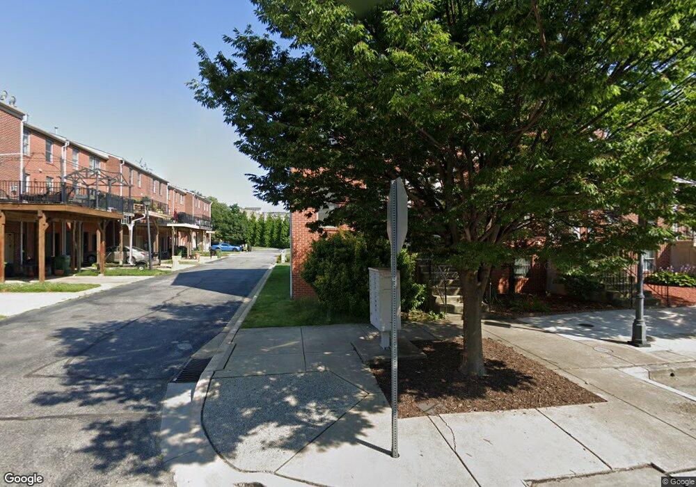
216 Presstman St Baltimore, MD 21217
Bolton Hill NeighborhoodEstimated Value: $248,890 - $275,000
4
Beds
3
Baths
1,840
Sq Ft
$142/Sq Ft
Est. Value
About This Home
This home is located at 216 Presstman St, Baltimore, MD 21217 and is currently estimated at $261,945, approximately $142 per square foot. 216 Presstman St is a home located in Baltimore City with nearby schools including Mount Royal Elementary/Middle School, Booker T. Washington Middle School, and Frederick Douglass High School.
Ownership History
Date
Name
Owned For
Owner Type
Purchase Details
Closed on
Apr 24, 2012
Sold by
Parker Latonya
Bought by
Haines William C and Lin-Haines Jun-Ming
Current Estimated Value
Purchase Details
Closed on
Sep 26, 2005
Sold by
Wilson Barbara Sparkman
Bought by
Parker Latonya
Purchase Details
Closed on
Nov 2, 2000
Sold by
Spicer'S Run Llc
Bought by
Wilson Barbara Sparkman
Create a Home Valuation Report for This Property
The Home Valuation Report is an in-depth analysis detailing your home's value as well as a comparison with similar homes in the area
Home Values in the Area
Average Home Value in this Area
Purchase History
| Date | Buyer | Sale Price | Title Company |
|---|---|---|---|
| Haines William C | $117,000 | -- | |
| Parker Latonya | $230,000 | -- | |
| Wilson Barbara Sparkman | $136,221 | -- |
Source: Public Records
Tax History Compared to Growth
Tax History
| Year | Tax Paid | Tax Assessment Tax Assessment Total Assessment is a certain percentage of the fair market value that is determined by local assessors to be the total taxable value of land and additions on the property. | Land | Improvement |
|---|---|---|---|---|
| 2025 | $5,526 | $236,100 | $50,000 | $186,100 |
| 2024 | $5,526 | $235,267 | $0 | $0 |
| 2023 | $5,506 | $234,433 | $0 | $0 |
| 2022 | $5,513 | $233,600 | $50,000 | $183,600 |
| 2021 | $5,275 | $223,500 | $0 | $0 |
| 2020 | $5,036 | $213,400 | $0 | $0 |
| 2019 | $4,342 | $203,300 | $50,000 | $153,300 |
| 2018 | $4,415 | $203,300 | $50,000 | $153,300 |
| 2017 | $4,464 | $203,300 | $0 | $0 |
| 2016 | $5,206 | $205,900 | $0 | $0 |
| 2015 | $5,206 | $178,933 | $0 | $0 |
| 2014 | $5,206 | $151,967 | $0 | $0 |
Source: Public Records
Map
Nearby Homes
- 339 Bloom St
- 835 Lennox St
- 1906 Madison Ave
- 819 Lennox St
- 817 Lennox St
- 2024 Bolton St
- 811 Lennox St
- 1917 Mcculloh St
- 1726 Linden Ave
- 2028 Bolton St
- 2034 Bolton St
- 2023 Bolton St
- 2050 Linden Ave Unit B
- 742 Watts St
- 740 Watts St
- 2103 Mcculloh St
- 1908 Mcculloh St
- 2115 Mcculloh St
- 1746 Park Ave
- 1816 Mcculloh St
- 214 Presstman St
- 212 Presstman St
- 210 Presstman St
- 1941 Eutaw Place
- 1939 Eutaw Place
- 1943 Eutaw Place
- 208 Presstman St
- 1937 Eutaw Place
- 1945 Eutaw Place
- 1947 Eutaw Place
- 206 Presstman St
- 1935 Eutaw Place
- 1949 Eutaw Place
- 1933 Eutaw Place
- 204 Presstman St
- 1951 Eutaw Place
- 1931 Eutaw Place
- 217 Presstman St
- 215 Presstman St
- 202 Presstman St