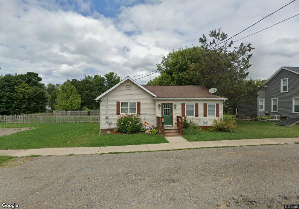
216 Saunders St Addison, MI 49220
Estimated Value: $154,135 - $163,000
4
Beds
1
Bath
1,300
Sq Ft
$123/Sq Ft
Est. Value
About This Home
This home is located at 216 Saunders St, Addison, MI 49220 and is currently estimated at $159,534, approximately $122 per square foot. 216 Saunders St is a home located in Lenawee County with nearby schools including Addison Elementary School, Addison Middle School, and Addison High School.
Ownership History
Date
Name
Owned For
Owner Type
Purchase Details
Closed on
Mar 13, 2019
Sold by
Pepper Sandra E
Bought by
Papper Brandon D
Current Estimated Value
Purchase Details
Closed on
Sep 2, 2011
Sold by
Pepper Bernard M
Bought by
Pepper Brandon D
Purchase Details
Closed on
Dec 14, 2009
Sold by
New American Funding Group Llc and Cullen Greg
Bought by
Pepper Bernard M
Purchase Details
Closed on
Oct 16, 2008
Sold by
Held Cassandra L
Bought by
New American Funding Group Llc
Purchase Details
Closed on
Mar 10, 2006
Sold by
Angus James Carlyle and Angus Reginald
Bought by
Held Cassandra L
Home Financials for this Owner
Home Financials are based on the most recent Mortgage that was taken out on this home.
Original Mortgage
$50,000
Interest Rate
11.19%
Mortgage Type
Adjustable Rate Mortgage/ARM
Create a Home Valuation Report for This Property
The Home Valuation Report is an in-depth analysis detailing your home's value as well as a comparison with similar homes in the area
Purchase History
| Date | Buyer | Sale Price | Title Company |
|---|---|---|---|
| Papper Brandon D | -- | -- | |
| Pepper Brandon D | -- | American Title Insurance Co | |
| Pepper Bernard M | $10,000 | Minnesota Title Agency | |
| New American Funding Group Llc | $29,000 | None Available | |
| Held Cassandra L | $50,000 | None Available |
Source: Public Records
Mortgage History
| Date | Status | Borrower | Loan Amount |
|---|---|---|---|
| Previous Owner | Held Cassandra L | $50,000 |
Source: Public Records
Tax History
| Year | Tax Paid | Tax Assessment Tax Assessment Total Assessment is a certain percentage of the fair market value that is determined by local assessors to be the total taxable value of land and additions on the property. | Land | Improvement |
|---|---|---|---|---|
| 2025 | $1,138 | $68,600 | $0 | $0 |
| 2024 | $21 | $59,800 | $0 | $0 |
| 2023 | -- | $47,500 | $0 | $0 |
| 2022 | $1,044 | $48,000 | $0 | $0 |
| 2021 | $2,218 | $40,600 | $0 | $0 |
| 2020 | $2,249 | $43,200 | $0 | $0 |
| 2019 | $143,411 | $43,200 | $0 | $0 |
| 2018 | $2,490 | $37,583 | $0 | $0 |
| 2017 | $1,670 | $37,892 | $0 | $0 |
| 2016 | $2,419 | $37,278 | $0 | $0 |
| 2014 | -- | $53,721 | $0 | $0 |
Source: Public Records
Map
Nearby Homes
- 16001 Addison Rd
- 6482 Sorby Hwy
- 4955 N Somerset Rd
- 13840 N Adams Rd
- 13820 N Adams Rd
- 0
- VL Manitou Beach Road Proposed
- 9265 Devils Lake Hwy
- 360 Park St
- 8676 Cherry Point Dr
- 348 Lenawee St
- 8164 Clarks Cove
- 17475 U S 223
- 7841 Devils Lake Hwy
- 6820 Devils Lake Hwy
- 2951 N Meridian Rd
- 10911 Devils Lake Hwy
- 4276 Echo Cove
- 8000 Parkhurst Hwy Unit Carroll Dr ((1175)
- 5935 Tower Dr
- 212 Saunders St
- 208 Saunders St
- 210 N Steer St
- 211 N Steer St
- 214 N Steer St
- 201 N Steer St
- 215 Railroad St
- 236 Saunders St
- 117 N Steer St St
- 117 N Steer St
- 222 Saunders St
- 219 Railroad St
- 225 Railroad St
- 218 N Steer St
- 221 Saunders St
- 226 Saunders St
- 219 N Steer St
- 300 N Steer St Unit BLK
- 300 N Steer St Unit BLK
- 214 W Main St
Your Personal Tour Guide
Ask me questions while you tour the home.