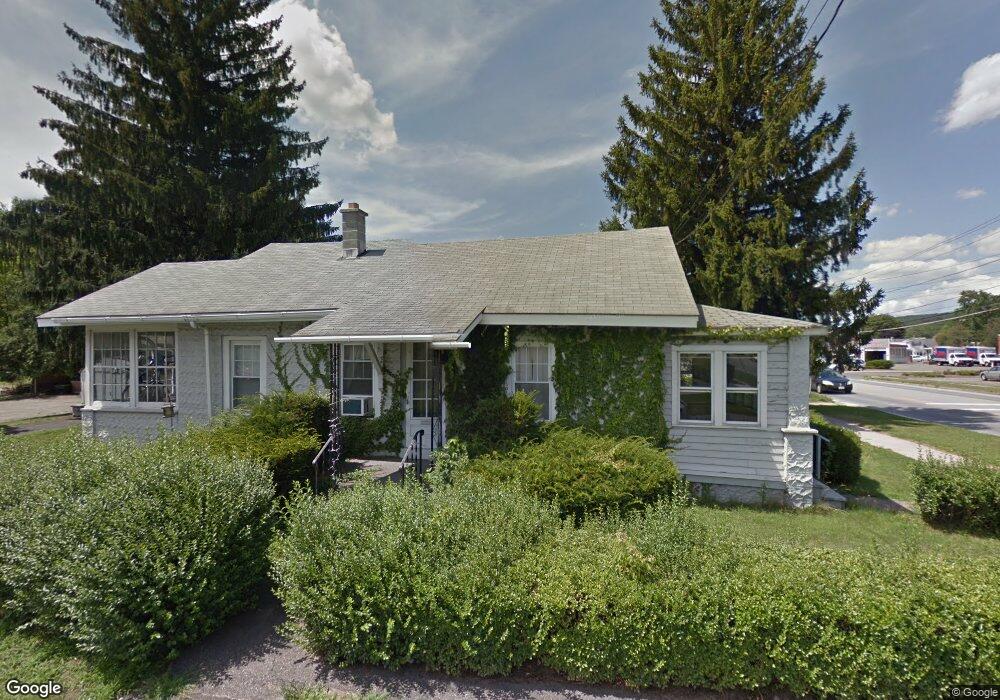
216 State Rd North Adams, MA 01247
Estimated Value: $182,000 - $202,000
2
Beds
1
Bath
720
Sq Ft
$265/Sq Ft
Est. Value
About This Home
This home is located at 216 State Rd, North Adams, MA 01247 and is currently estimated at $191,128, approximately $265 per square foot. 216 State Rd is a home located in Berkshire County with nearby schools including Greylock Elementary School and Drury High School.
Ownership History
Date
Name
Owned For
Owner Type
Purchase Details
Closed on
Jul 31, 2009
Sold by
Eurbin William Louis
Bought by
Sumner Nathan J
Current Estimated Value
Home Financials for this Owner
Home Financials are based on the most recent Mortgage that was taken out on this home.
Original Mortgage
$89,205
Outstanding Balance
$58,811
Interest Rate
5.43%
Mortgage Type
Purchase Money Mortgage
Estimated Equity
$132,317
Purchase Details
Closed on
Aug 26, 2005
Sold by
Lepak Albert J and Eurbin Joan K
Bought by
Eurbin William Louis
Home Financials for this Owner
Home Financials are based on the most recent Mortgage that was taken out on this home.
Original Mortgage
$85,000
Interest Rate
5.68%
Mortgage Type
Purchase Money Mortgage
Create a Home Valuation Report for This Property
The Home Valuation Report is an in-depth analysis detailing your home's value as well as a comparison with similar homes in the area
Home Values in the Area
Average Home Value in this Area
Purchase History
| Date | Buyer | Sale Price | Title Company |
|---|---|---|---|
| Sumner Nathan J | $93,900 | -- | |
| Eurbin William Louis | $111,000 | -- | |
| Sumner Nathan J | $93,900 | -- | |
| Eurbin William Louis | $111,000 | -- |
Source: Public Records
Mortgage History
| Date | Status | Borrower | Loan Amount |
|---|---|---|---|
| Open | Sumner Nathan J | $89,205 | |
| Closed | Eurbin William Louis | $89,205 | |
| Previous Owner | Eurbin William Louis | $85,000 |
Source: Public Records
Tax History Compared to Growth
Tax History
| Year | Tax Paid | Tax Assessment Tax Assessment Total Assessment is a certain percentage of the fair market value that is determined by local assessors to be the total taxable value of land and additions on the property. | Land | Improvement |
|---|---|---|---|---|
| 2025 | $2,476 | $148,200 | $32,700 | $115,500 |
| 2024 | $2,324 | $135,600 | $29,900 | $105,700 |
| 2023 | $2,205 | $124,800 | $29,900 | $94,900 |
| 2022 | $2,020 | $109,000 | $29,900 | $79,100 |
| 2021 | $1,878 | $100,900 | $27,700 | $73,200 |
| 2020 | $1,747 | $93,800 | $27,600 | $66,200 |
| 2019 | $1,684 | $88,100 | $27,600 | $60,500 |
| 2018 | $1,623 | $88,300 | $29,000 | $59,300 |
| 2017 | $1,546 | $87,500 | $28,700 | $58,800 |
| 2016 | $1,518 | $87,300 | $28,700 | $58,600 |
| 2015 | $1,475 | $88,400 | $29,700 | $58,700 |
Source: Public Records
Map
Nearby Homes