216 Thayer Pond Rd Wilton, CT 06897
Estimated Value: $1,270,000 - $1,584,000
4
Beds
3
Baths
2,788
Sq Ft
$500/Sq Ft
Est. Value
About This Home
This home is located at 216 Thayer Pond Rd, Wilton, CT 06897 and is currently estimated at $1,392,791, approximately $499 per square foot. 216 Thayer Pond Rd is a home located in Fairfield County with nearby schools including Miller-Driscoll School, Cider Mill School, and Middlebrook School.
Ownership History
Date
Name
Owned For
Owner Type
Purchase Details
Closed on
Apr 8, 2010
Sold by
Miller Nancy G
Bought by
Greis Kurt L and Humer Caroline L
Current Estimated Value
Home Financials for this Owner
Home Financials are based on the most recent Mortgage that was taken out on this home.
Original Mortgage
$666,600
Interest Rate
5.12%
Purchase Details
Closed on
Jun 18, 1991
Sold by
Viscio Albert and Viscio Adrienne
Bought by
Miller Stuart
Create a Home Valuation Report for This Property
The Home Valuation Report is an in-depth analysis detailing your home's value as well as a comparison with similar homes in the area
Home Values in the Area
Average Home Value in this Area
Purchase History
| Date | Buyer | Sale Price | Title Company |
|---|---|---|---|
| Greis Kurt L | $860,000 | -- | |
| Miller Stuart | $406,500 | -- |
Source: Public Records
Mortgage History
| Date | Status | Borrower | Loan Amount |
|---|---|---|---|
| Open | Miller Stuart | $95,000 | |
| Open | Miller Stuart | $601,450 | |
| Closed | Miller Stuart | $666,600 |
Source: Public Records
Tax History Compared to Growth
Tax History
| Year | Tax Paid | Tax Assessment Tax Assessment Total Assessment is a certain percentage of the fair market value that is determined by local assessors to be the total taxable value of land and additions on the property. | Land | Improvement |
|---|---|---|---|---|
| 2025 | $16,578 | $679,140 | $329,910 | $349,230 |
| 2024 | $16,259 | $679,140 | $329,910 | $349,230 |
| 2023 | $15,474 | $528,850 | $315,420 | $213,430 |
| 2022 | $14,929 | $528,850 | $315,420 | $213,430 |
| 2021 | $14,739 | $528,850 | $315,420 | $213,430 |
| 2020 | $14,522 | $528,850 | $315,420 | $213,430 |
| 2019 | $15,093 | $528,850 | $315,420 | $213,430 |
| 2018 | $14,654 | $519,820 | $330,680 | $189,140 |
| 2017 | $14,435 | $519,820 | $330,680 | $189,140 |
| 2016 | $14,212 | $519,820 | $330,680 | $189,140 |
| 2015 | $13,947 | $519,820 | $330,680 | $189,140 |
| 2014 | $13,780 | $519,820 | $330,680 | $189,140 |
Source: Public Records
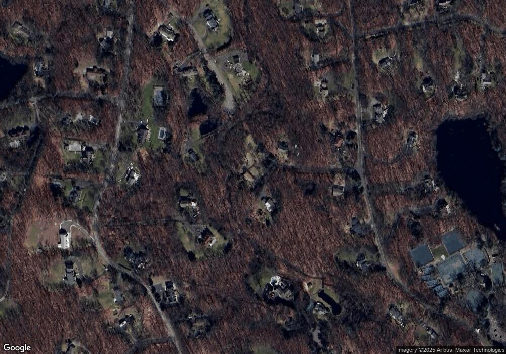
Map
Nearby Homes
- 199 Mariomi Rd
- 30 Wild Duck Rd
- 439 Cheese Spring Rd
- 30L Huckleberry Hill Rd
- 760 Valley Rd
- 114 Ferris Hill Rd
- 44 Benedict Hill Rd
- 181 Old Boston Rd
- 561 Smith Ridge Rd
- 10 Woodhill Rd
- 240 Rosebrook Rd
- 650 Laurel Rd
- 332 Belden Hill Rd
- 67 Carter St
- 531L N Wilton Rd
- 262 Brushy Ridge Rd
- 533L N Wilton Rd
- 469L N Wilton Rd
- 152L Carter St
- 469, 531,533 N Wilton Rd
- 180 Thayer Pond Rd
- 174 Thayer Pond Rd
- 196 Thayer Pond Rd
- 75 Pheasant Dr
- 206 Thayer Pond Rd
- 65 Pheasant Dr
- 205 Thayer Pond Rd
- 150 Thayer Pond Rd
- 215 Thayer Pond Rd
- 31 Pheasant Dr
- 140 Thayer Pond Rd
- 175 Thayer Pond Rd
- 212 Thayer Pond Rd
- 66 Pheasant Dr
- 74 Pheasant Dr
- 124 Thayer Pond Rd
- 214 Thayer Pond Rd
- 52 Pheasant Dr
- 225 Thayer Pond Rd
- 39 Woods End Dr