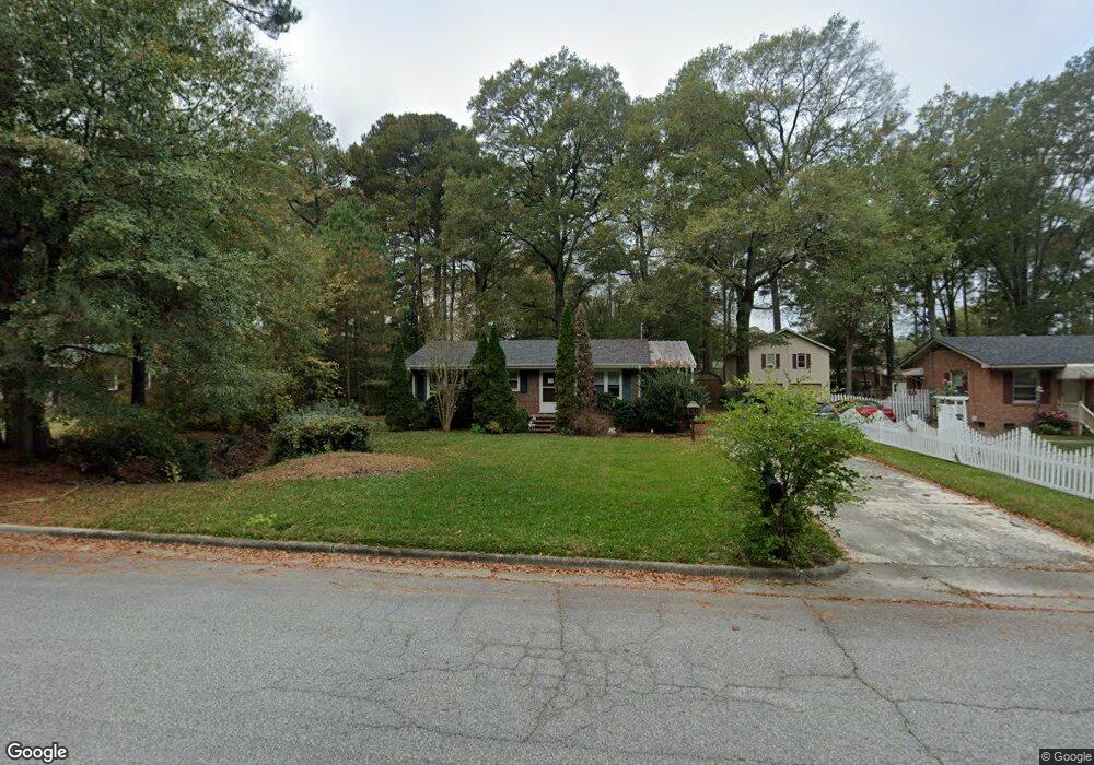
216 Tyson Ave Rocky Mount, NC 27804
Estimated Value: $160,354 - $179,000
3
Beds
1
Bath
1,452
Sq Ft
$118/Sq Ft
Est. Value
About This Home
This home is located at 216 Tyson Ave, Rocky Mount, NC 27804 and is currently estimated at $171,089, approximately $117 per square foot. 216 Tyson Ave is a home located in Nash County with nearby schools including Williford Elementary School, Englewood Elementary School, and Rocky Mount Middle School.
Ownership History
Date
Name
Owned For
Owner Type
Purchase Details
Closed on
Oct 11, 2007
Sold by
Lafferty Timothy Bryan and Lafferty Connie
Bought by
Brutzman Steven
Current Estimated Value
Home Financials for this Owner
Home Financials are based on the most recent Mortgage that was taken out on this home.
Original Mortgage
$91,000
Outstanding Balance
$57,230
Interest Rate
6.44%
Mortgage Type
Purchase Money Mortgage
Estimated Equity
$113,859
Create a Home Valuation Report for This Property
The Home Valuation Report is an in-depth analysis detailing your home's value as well as a comparison with similar homes in the area
Home Values in the Area
Average Home Value in this Area
Purchase History
| Date | Buyer | Sale Price | Title Company |
|---|---|---|---|
| Brutzman Steven | $91,500 | None Available |
Source: Public Records
Mortgage History
| Date | Status | Borrower | Loan Amount |
|---|---|---|---|
| Open | Brutzman Steven | $91,000 |
Source: Public Records
Tax History Compared to Growth
Tax History
| Year | Tax Paid | Tax Assessment Tax Assessment Total Assessment is a certain percentage of the fair market value that is determined by local assessors to be the total taxable value of land and additions on the property. | Land | Improvement |
|---|---|---|---|---|
| 2025 | $798 | $126,640 | $30,430 | $96,210 |
| 2024 | $798 | $79,610 | $25,860 | $53,750 |
| 2023 | $533 | $79,610 | $0 | $0 |
| 2022 | $545 | $79,610 | $25,860 | $53,750 |
| 2021 | $533 | $79,610 | $25,860 | $53,750 |
| 2020 | $533 | $79,610 | $25,860 | $53,750 |
| 2019 | $533 | $79,610 | $25,860 | $53,750 |
| 2018 | $533 | $79,610 | $0 | $0 |
| 2017 | $533 | $79,610 | $0 | $0 |
| 2015 | $630 | $93,960 | $0 | $0 |
| 2014 | $630 | $93,960 | $0 | $0 |
Source: Public Records
Map
Nearby Homes
- 113 Salem Ct
- 130 Salem Ct
- 3409 Woodlawn Rd
- 128 Timberlane Dr
- 3416 Hawthorne Rd
- 3232 Amherst Rd
- 3609 Hawthorne Rd
- 3617 Woodlawn Rd
- 3713 Winchester Rd
- 3617 Hawthorne Rd
- 3782 Loblolly Dr
- 3782 Loblolly Dr Unit 5
- 29 Mockingbird Ln
- 3712 Hawthorne Rd
- 3108 Ridgecrest Dr
- 3801 Hawthorne Rd
- 3424 Brookview Dr
- 69 Mockingbird Ln
- 300 Briarcliff Rd
- 1012 Turnstone Dr
- 212 Tyson Ave
- 220 Tyson Ave
- 204 Tyson Ave
- 213 Tyson Ave
- 217 Tyson Ave
- 224 Tyson Ave
- 221 Tyson Ave
- 209 Tyson Ave
- 200 Tyson Ave
- 225 Tyson Ave
- 205 Tyson Ave
- 228 Tyson Ave
- 212 Old Colony Way
- 208 Old Colony Way
- 229 Tyson Ave
- 216 Old Colony Way
- 152 Tyson Ave
- 204 Old Colony Way
- 220 Old Colony Way
- 224 Old Colony Way