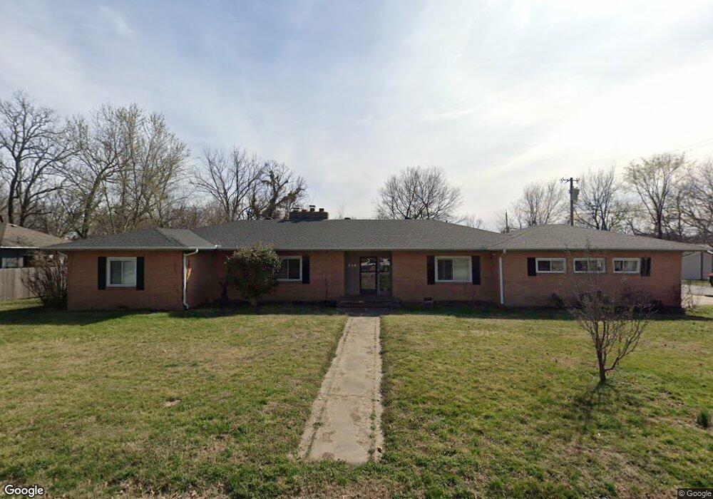
216 W Cornell St Siloam Springs, AR 72761
Estimated Value: $345,641 - $413,000
--
Bed
2
Baths
2,543
Sq Ft
$149/Sq Ft
Est. Value
About This Home
This home is located at 216 W Cornell St, Siloam Springs, AR 72761 and is currently estimated at $378,660, approximately $148 per square foot. 216 W Cornell St is a home located in Benton County with nearby schools including Northside Elementary School, Delbert Pete & Pat Allen Elementary School, and Southside Elementary School.
Ownership History
Date
Name
Owned For
Owner Type
Purchase Details
Closed on
Aug 23, 2005
Sold by
Friesen Jason and Friesen Karen J
Bought by
Demarais Kirk W and Demarais Heidi Lynn
Current Estimated Value
Home Financials for this Owner
Home Financials are based on the most recent Mortgage that was taken out on this home.
Original Mortgage
$154,500
Outstanding Balance
$81,890
Interest Rate
5.8%
Mortgage Type
Purchase Money Mortgage
Estimated Equity
$296,770
Purchase Details
Closed on
Aug 8, 2002
Bought by
Friesen
Purchase Details
Closed on
Jan 7, 2000
Bought by
Thornton
Purchase Details
Closed on
Apr 20, 1988
Bought by
Henry Tr
Purchase Details
Closed on
Jan 30, 1987
Bought by
Henry Tr
Create a Home Valuation Report for This Property
The Home Valuation Report is an in-depth analysis detailing your home's value as well as a comparison with similar homes in the area
Home Values in the Area
Average Home Value in this Area
Purchase History
| Date | Buyer | Sale Price | Title Company |
|---|---|---|---|
| Demarais Kirk W | $150,000 | Bronson Title Siloam Springs | |
| Friesen | $98,000 | -- | |
| Thornton | -- | -- | |
| Thornton | $95,000 | -- | |
| Siroonian | -- | -- | |
| Henry Tr | -- | -- | |
| Henry Tr | -- | -- |
Source: Public Records
Mortgage History
| Date | Status | Borrower | Loan Amount |
|---|---|---|---|
| Open | Demarais Kirk W | $154,500 |
Source: Public Records
Tax History Compared to Growth
Tax History
| Year | Tax Paid | Tax Assessment Tax Assessment Total Assessment is a certain percentage of the fair market value that is determined by local assessors to be the total taxable value of land and additions on the property. | Land | Improvement |
|---|---|---|---|---|
| 2025 | $2,107 | $64,184 | $7,400 | $56,784 |
| 2024 | $2,064 | $64,184 | $7,400 | $56,784 |
| 2023 | $1,966 | $45,330 | $5,600 | $39,730 |
| 2022 | $1,504 | $45,330 | $5,600 | $39,730 |
| 2021 | $1,414 | $45,330 | $5,600 | $39,730 |
| 2020 | $1,335 | $29,690 | $5,600 | $24,090 |
| 2019 | $1,335 | $29,690 | $5,600 | $24,090 |
| 2018 | $1,343 | $29,690 | $5,600 | $24,090 |
| 2017 | $1,195 | $29,690 | $5,600 | $24,090 |
| 2016 | $1,195 | $29,690 | $5,600 | $24,090 |
| 2015 | $1,472 | $25,550 | $1,600 | $23,950 |
| 2014 | $1,122 | $25,550 | $1,600 | $23,950 |
Source: Public Records
Map
Nearby Homes
- 517 N Wright St
- 503 N Wright St
- 605 N Wright St
- 411 N Maple St
- 0000 N Elm St
- TBD South N Elm St
- 716 N Mount Olive St
- 414 N Maxwell St
- 210 E Ashley St
- 517 N Madison St
- 111 E Helena St
- 730 N Walnut Ct
- 0 Tbd St Andrews
- 403 E University St
- 114 S College St
- 402 Greenwood
- 506 E Ashley St
- 607 Amanda Dr
- 606 Gail Dr
- 401 Glenwood Place
- 510 N Wright St
- 215 W Tahlequah St
- 506 N Wright St
- 209 W Tahlequah St
- 302 W Cornell St
- 215 W Cornell St
- 207 W Cornell St
- 508 N College St
- 604 N Wright St
- 502 N Wright St
- 301 W Tahlequah St
- 305 W Cornell St
- 610 N Wright St
- 305 W Tahlequah St
- 415 N College St
- 316 W Cornell St
- 309 W Cornell St
- 414 N Wright St
- 307 W Tahlequah St
- 507 N Wright St