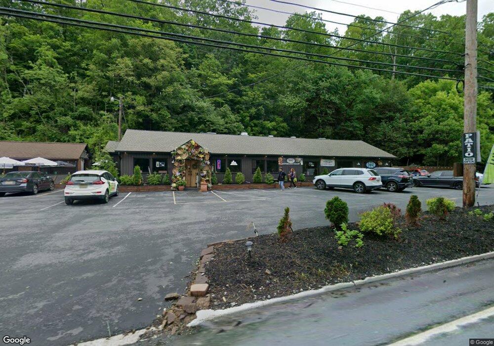
216 Woodside Ave Unit 216 Newton, NJ 07860
--
Bed
--
Bath
2,000
Sq Ft
0.57
Acres
About This Home
This home is located at 216 Woodside Ave Unit 216, Newton, NJ 07860. 216 Woodside Ave Unit 216 is a home located in Sussex County with nearby schools including Merriam Avenue School, Halsted Street Middle School, and Newton High School.
Ownership History
Date
Name
Owned For
Owner Type
Purchase Details
Closed on
Dec 14, 2021
Sold by
Hopewell Management Inc
Bought by
Camila & Lucia Llc
Purchase Details
Closed on
Feb 13, 2019
Sold by
Thordon Inc
Bought by
Hopewell Management Inc
Purchase Details
Closed on
Dec 1, 2004
Sold by
Delese Food Services Inc
Bought by
Thordon Inc and Tuscany Bistro
Home Financials for this Owner
Home Financials are based on the most recent Mortgage that was taken out on this home.
Original Mortgage
$490,000
Interest Rate
5.68%
Mortgage Type
Commercial
Create a Home Valuation Report for This Property
The Home Valuation Report is an in-depth analysis detailing your home's value as well as a comparison with similar homes in the area
Home Values in the Area
Average Home Value in this Area
Purchase History
| Date | Buyer | Sale Price | Title Company |
|---|---|---|---|
| Camila & Lucia Llc | $190,000 | Mandia Jason C | |
| Hopewell Management Inc | $190,000 | Fidelity National Ttl Ins Co | |
| Thordon Inc | $400,000 | -- |
Source: Public Records
Mortgage History
| Date | Status | Borrower | Loan Amount |
|---|---|---|---|
| Previous Owner | Thordon Inc | $490,000 |
Source: Public Records
Tax History Compared to Growth
Tax History
| Year | Tax Paid | Tax Assessment Tax Assessment Total Assessment is a certain percentage of the fair market value that is determined by local assessors to be the total taxable value of land and additions on the property. | Land | Improvement |
|---|---|---|---|---|
| 2025 | $17,859 | $657,700 | $153,500 | $504,200 |
| 2024 | $17,338 | $654,900 | $153,500 | $501,400 |
| 2023 | $17,338 | $385,800 | $148,500 | $237,300 |
| 2022 | $17,407 | $385,800 | $148,500 | $237,300 |
| 2021 | $20,699 | $460,800 | $148,500 | $312,300 |
| 2020 | $20,381 | $460,800 | $148,500 | $312,300 |
| 2019 | $19,750 | $460,800 | $148,500 | $312,300 |
| 2018 | $19,644 | $460,800 | $148,500 | $312,300 |
| 2017 | $19,529 | $460,800 | $148,500 | $312,300 |
| 2016 | $19,215 | $460,800 | $148,500 | $312,300 |
| 2015 | $18,708 | $460,800 | $148,500 | $312,300 |
| 2014 | $18,321 | $460,800 | $148,500 | $312,300 |
Source: Public Records
Map
Nearby Homes
- 219 Woodside Ave
- 9 Woodridge Ct
- 40 Carriage Ln Unit 40
- 6 Barry Ln
- 5 Babbitt Ct
- 137 Carriage Ln
- 54 Plainfield Ave
- 73 Paterson Ave
- 103 Woodside Ave
- 82 Merriam Ave
- 14 Trenton Place
- 0 W Nelson St
- 21 Ryerson Ave
- 9 Lawnwood Ave
- 46 Pine St
- 60 W End Ave
- 22 Woodside Ave
- 37 Foster St
- 5 Clarkson St
- 8 Orchard St
- 216 Woodside Ave
- 210 Woodside Ave Unit 214
- 212 Woodside Ave
- 208 Woodside Ave
- 204 Woodside Ave
- 221 Woodside Ave
- 162 Merriam Ave
- 159 Merriam Ave
- 160 Merriam Ave
- 157 Merriam Ave
- 158 Merriam Ave
- 155 Merriam Ave
- 156 Merriam Ave
- 215 Woodside Ave
- 154 Merriam Ave
- 153 Merriam Ave
- 16 Woodridge Ct
- 18 Woodridge Ct
- 152 Merriam Ave
- 14 Woodridge Ct