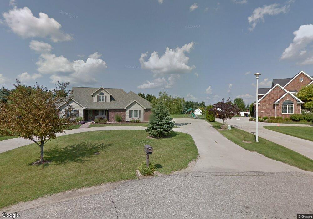
2160 Burning Tree Cir Owosso, MI 48867
Estimated Value: $448,000 - $522,000
5
Beds
4
Baths
3,220
Sq Ft
$152/Sq Ft
Est. Value
About This Home
This home is located at 2160 Burning Tree Cir, Owosso, MI 48867 and is currently estimated at $488,242, approximately $151 per square foot. 2160 Burning Tree Cir is a home located in Shiawassee County with nearby schools including Owosso High School, Owosso Sda School, and St. Paul School.
Ownership History
Date
Name
Owned For
Owner Type
Purchase Details
Closed on
Feb 28, 2011
Sold by
Ardelean Jeffrey R and Ardelean Mary B
Bought by
Reed Brian T
Current Estimated Value
Home Financials for this Owner
Home Financials are based on the most recent Mortgage that was taken out on this home.
Original Mortgage
$218,500
Outstanding Balance
$150,060
Interest Rate
4.78%
Mortgage Type
Purchase Money Mortgage
Estimated Equity
$338,182
Create a Home Valuation Report for This Property
The Home Valuation Report is an in-depth analysis detailing your home's value as well as a comparison with similar homes in the area
Home Values in the Area
Average Home Value in this Area
Purchase History
| Date | Buyer | Sale Price | Title Company |
|---|---|---|---|
| Reed Brian T | $230,000 | -- |
Source: Public Records
Mortgage History
| Date | Status | Borrower | Loan Amount |
|---|---|---|---|
| Open | Reed Brian T | $218,500 |
Source: Public Records
Tax History Compared to Growth
Tax History
| Year | Tax Paid | Tax Assessment Tax Assessment Total Assessment is a certain percentage of the fair market value that is determined by local assessors to be the total taxable value of land and additions on the property. | Land | Improvement |
|---|---|---|---|---|
| 2025 | $4,929 | $256,800 | $0 | $0 |
| 2024 | $5,029 | $243,100 | $0 | $0 |
| 2023 | $1,853 | $227,300 | $0 | $0 |
| 2022 | $1,764 | $209,200 | $0 | $0 |
| 2021 | $4,461 | $193,800 | $0 | $0 |
| 2020 | $4,395 | $190,000 | $0 | $0 |
| 2019 | $4,314 | $158,300 | $0 | $0 |
| 2018 | $4,457 | $150,600 | $0 | $0 |
| 2017 | $3,517 | $140,400 | $0 | $0 |
| 2016 | -- | $140,400 | $0 | $0 |
| 2015 | -- | $139,500 | $0 | $0 |
| 2014 | $16 | $134,500 | $0 | $0 |
Source: Public Records
Map
Nearby Homes
- 502 Dean Dr
- 2706 N M-52 Hwy
- 700 Curwood Rd
- 2015 Sunset Dr
- 1588 N Chipman Rd
- 809 Stevens Dr
- 1301 Whitehaven Ct
- 1473 Mallard Cir
- 1430 Mallard Cir
- 1217 Hanover St
- 1004 N Ball St
- 921 Dingwall Dr
- 917 N Hickory St
- 930 Pine St
- 705 Campbell Dr
- 1475 N Water St
- 3611 N M 52
- 1104 Riverside Dr
- 916 N Shiawassee St
- 509 Abbott St
- 2148 Burning Tree Cir
- 173 Ardelean Dr
- 2172 Burning Tree Cir
- 147 Ardelean Dr
- 201 Ardelean Dr
- 2184 Burning Tree Cir
- 2175 Burning Tree Cir
- 227 Ardelean Dr
- 121 Ardelean Dr
- 2307 Briarwood Dr
- 2183 Burning Tree Cir
- 2124 Burning Tree Cir
- 152 Ardelean Dr
- 2196 Burning Tree Cir
- 120 Ardelean Dr
- 2300 Meadowdown Dr
- 253 Ardelean Dr
- 2121 Burning Tree Cir
- 2195 Burning Tree Cir
- 2112 Burning Tree Cir