2160 Coal Mine Way Cle Elum, WA 98922
Estimated Value: $1,337,391 - $1,759,000
3
Beds
3
Baths
2,329
Sq Ft
$664/Sq Ft
Est. Value
About This Home
This home is located at 2160 Coal Mine Way, Cle Elum, WA 98922 and is currently estimated at $1,545,348, approximately $663 per square foot. 2160 Coal Mine Way is a home located in Kittitas County with nearby schools including Cle Elum Roslyn Elementary School, Walter Strom Middle School, and Cle Elum Roslyn High School.
Ownership History
Date
Name
Owned For
Owner Type
Purchase Details
Closed on
Apr 28, 2022
Sold by
Wells Living Trust
Bought by
Wells Margaret E
Current Estimated Value
Purchase Details
Closed on
Dec 19, 2013
Sold by
Wells John F and Wells Didina A
Bought by
The Wells Living Trust
Purchase Details
Closed on
Jul 26, 2005
Sold by
Suncadia Llc
Bought by
Lane John C and Fabian Marilyn
Home Financials for this Owner
Home Financials are based on the most recent Mortgage that was taken out on this home.
Original Mortgage
$221,872
Interest Rate
6.12%
Mortgage Type
Adjustable Rate Mortgage/ARM
Create a Home Valuation Report for This Property
The Home Valuation Report is an in-depth analysis detailing your home's value as well as a comparison with similar homes in the area
Home Values in the Area
Average Home Value in this Area
Purchase History
| Date | Buyer | Sale Price | Title Company |
|---|---|---|---|
| Wells Margaret E | -- | None Listed On Document | |
| The Wells Living Trust | -- | None Available | |
| Lane John C | $233,550 | Amerititle |
Source: Public Records
Mortgage History
| Date | Status | Borrower | Loan Amount |
|---|---|---|---|
| Previous Owner | Lane John C | $221,872 |
Source: Public Records
Tax History Compared to Growth
Tax History
| Year | Tax Paid | Tax Assessment Tax Assessment Total Assessment is a certain percentage of the fair market value that is determined by local assessors to be the total taxable value of land and additions on the property. | Land | Improvement |
|---|---|---|---|---|
| 2025 | $8,391 | $1,397,780 | $328,800 | $1,068,980 |
| 2023 | $8,391 | $1,248,560 | $290,400 | $958,160 |
| 2022 | $6,506 | $901,340 | $141,600 | $759,740 |
| 2021 | $6,517 | $861,290 | $123,600 | $737,690 |
| 2019 | $6,011 | $791,380 | $104,100 | $687,280 |
| 2018 | $4,700 | $586,220 | $69,000 | $517,220 |
| 2017 | $4,700 | $586,220 | $69,000 | $517,220 |
| 2016 | $4,715 | $586,220 | $69,000 | $517,220 |
| 2015 | $4,883 | $586,220 | $69,000 | $517,220 |
| 2013 | -- | $586,220 | $69,000 | $517,220 |
Source: Public Records
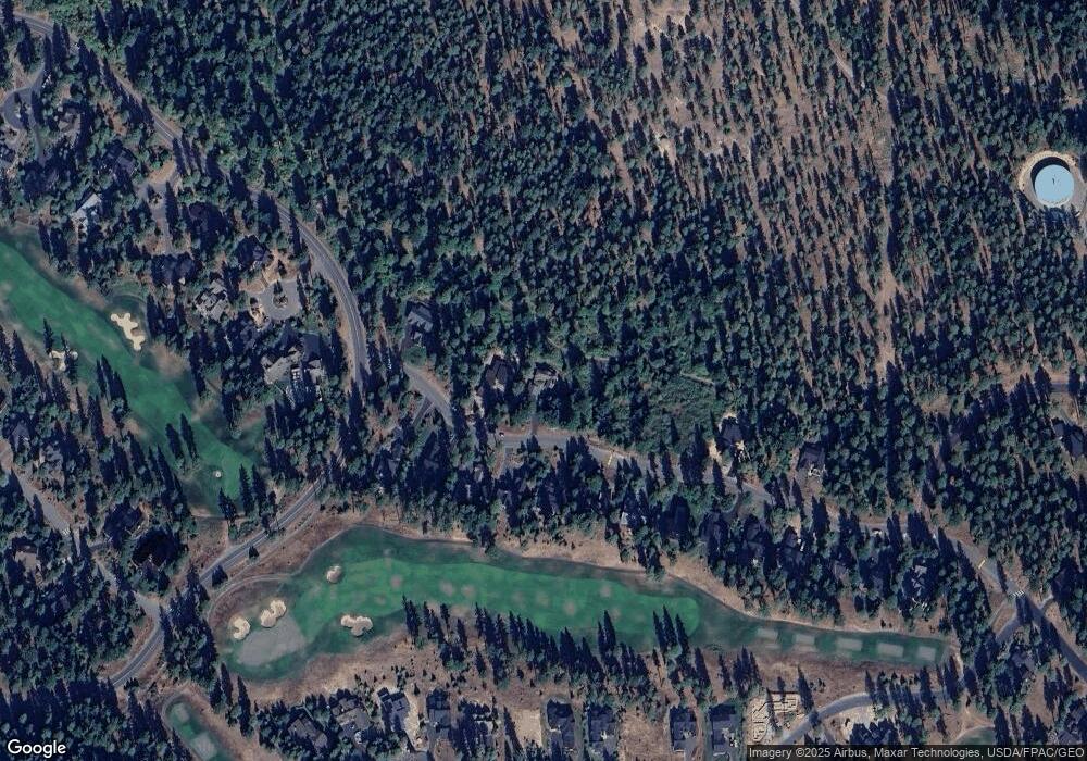
Map
Nearby Homes
- 2101 Coal Mine Way
- 2040 Coal Mine Way
- 301 Tipple Hill Loop
- 221 Tipple Hill Loop
- 70 Thimbleberry Ct
- 51 Thimbleberry Ct
- 681 Maple Leaf Loop
- 31 Blackberry Ct
- 420 Black Nugget Ln
- 1481 Coal Mine Way
- 100 Black Nugget Ln
- 411 S 7th St
- 130 Miners Camp Way
- 73 Sweet Shop Ln
- 15 Farmhouse Way
- 302 Horvatt Rd
- 14 Farmhouse Way
- 61 Equinox Dr
- 722 S A St
- 204 N 1st St
- 2130 Coal Mine Way
- 2200 Coal Mine Way
- 2250 Coal Mine Way
- 2161 Coal Mine Way
- 2131 Coal Mine Way
- 2080 Coal Mine Way
- 2221 Coal Mine Way
- 2280 Coal Mine Way
- 2071 Coal Mine Way
- 2251 Coal Mine Way
- 2041 Coal Mine Way
- 2010 Coal Mine Way
- 2011 Coal Mine Way
- 1980 Coal Mine Way
- 50 Goldenrod Ct
- 1971 Coal Mine Way
- 1950 Coal Mine Way
- 60 Goldenrod Ct
- 1941 Coal Mine Way