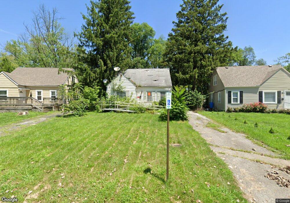
2160 Middlehurst Dr Columbus, OH 43219
Woodland Holt NeighborhoodEstimated Value: $151,963 - $189,000
3
Beds
1
Bath
1,066
Sq Ft
$157/Sq Ft
Est. Value
About This Home
This home is located at 2160 Middlehurst Dr, Columbus, OH 43219 and is currently estimated at $167,241, approximately $156 per square foot. 2160 Middlehurst Dr is a home located in Franklin County with nearby schools including South Mifflin Stem Academy (K-6), Linden-Mckinley Stem School On Arcadia, and Cesar Chavez College Preparatory School.
Ownership History
Date
Name
Owned For
Owner Type
Purchase Details
Closed on
Oct 11, 1994
Sold by
Singer Steven J
Bought by
Adams Michael F and Adams Cynthia C
Current Estimated Value
Home Financials for this Owner
Home Financials are based on the most recent Mortgage that was taken out on this home.
Original Mortgage
$42,750
Interest Rate
8.64%
Mortgage Type
New Conventional
Purchase Details
Closed on
Dec 15, 1988
Purchase Details
Closed on
Sep 26, 1988
Create a Home Valuation Report for This Property
The Home Valuation Report is an in-depth analysis detailing your home's value as well as a comparison with similar homes in the area
Home Values in the Area
Average Home Value in this Area
Purchase History
| Date | Buyer | Sale Price | Title Company |
|---|---|---|---|
| Adams Michael F | $45,000 | -- | |
| -- | -- | -- | |
| -- | -- | -- |
Source: Public Records
Mortgage History
| Date | Status | Borrower | Loan Amount |
|---|---|---|---|
| Previous Owner | Adams Michael F | $42,750 |
Source: Public Records
Tax History Compared to Growth
Tax History
| Year | Tax Paid | Tax Assessment Tax Assessment Total Assessment is a certain percentage of the fair market value that is determined by local assessors to be the total taxable value of land and additions on the property. | Land | Improvement |
|---|---|---|---|---|
| 2024 | $1,184 | $35,950 | $9,100 | $26,850 |
| 2023 | $1,187 | $35,950 | $9,100 | $26,850 |
| 2022 | $630 | $20,900 | $2,630 | $18,270 |
| 2021 | $631 | $20,900 | $2,630 | $18,270 |
| 2020 | $632 | $20,900 | $2,630 | $18,270 |
| 2019 | $453 | $16,210 | $2,100 | $14,110 |
| 2018 | $539 | $16,210 | $2,100 | $14,110 |
| 2017 | $572 | $16,210 | $2,100 | $14,110 |
| 2016 | $691 | $19,180 | $2,870 | $16,310 |
| 2015 | $627 | $19,180 | $2,870 | $16,310 |
| 2014 | $629 | $19,180 | $2,870 | $16,310 |
| 2013 | $374 | $21,315 | $3,185 | $18,130 |
Source: Public Records
Map
Nearby Homes
- 1991 Woodland Ave
- 2054 Jermain Dr
- 1789 Marston Rd
- 1790 Marston Rd
- 1882 Dunning Rd
- 1808 Brentnell Ave
- 2336 Edenburgh Dr S
- 0 Rankin Ave Unit (Rear)
- 1794 Devonshire Rd
- 0 Mock Rd
- 0 Danby Dr
- 1978 Argyle Dr
- 2398 Dunkirk Dr
- 1975 Mock Rd
- 2471 Mock Rd
- 0 Parkwood Ave
- 2040 Loretta Ave
- 2228 Holt Ave
- 0 Delbert Rd Unit 225030362
- 1864 E Hudson St
- 2164 Middlehurst Dr
- 2156 Middlehurst Dr
- 2166 Middlehurst Dr
- 2152 Middlehurst Dr
- 2168 Middlehurst Dr
- 2148 Middlehurst Dr
- 2172 Middlehurst Dr
- 2151 Middlehurst Dr
- 2157 Middlehurst Dr
- 2144 Middlehurst Dr
- 2159 Middlehurst Dr
- 2211 Sagamore Rd
- 2209 Sagamore Rd
- 2213 Sagamore Rd
- 2207 Sagamore Rd
- 2174 Middlehurst Dr
- 2215 Sagamore Rd
- 2163 Middlehurst Dr
- 2203 Sagamore Rd
- 2138 Middlehurst Dr