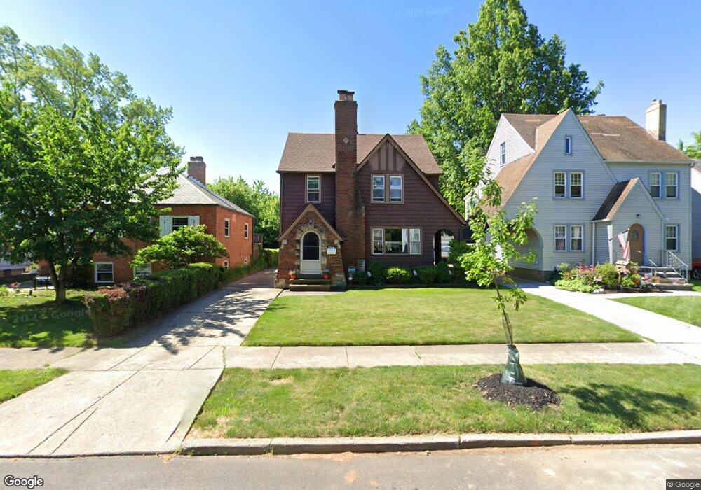
21600 Roberts Ave Euclid, OH 44123
Estimated Value: $130,000 - $164,000
3
Beds
2
Baths
1,412
Sq Ft
$107/Sq Ft
Est. Value
About This Home
This home is located at 21600 Roberts Ave, Euclid, OH 44123 and is currently estimated at $151,019, approximately $106 per square foot. 21600 Roberts Ave is a home located in Cuyahoga County with nearby schools including Arbor Elementary School, Euclid Middle School, and Euclid High School.
Ownership History
Date
Name
Owned For
Owner Type
Purchase Details
Closed on
Oct 23, 2017
Sold by
Farrell Janee L
Bought by
Farrell Katy M
Current Estimated Value
Purchase Details
Closed on
Aug 9, 2002
Sold by
Farrell Thomas and Farrell Janet
Bought by
Farrell Thomas and Farrell Janet
Purchase Details
Closed on
Dec 7, 1977
Sold by
Christopher Michael R and A M
Bought by
Farrell Thomas
Purchase Details
Closed on
Jan 1, 1975
Bought by
Christopher Michael R and A M
Create a Home Valuation Report for This Property
The Home Valuation Report is an in-depth analysis detailing your home's value as well as a comparison with similar homes in the area
Home Values in the Area
Average Home Value in this Area
Purchase History
| Date | Buyer | Sale Price | Title Company |
|---|---|---|---|
| Farrell Katy M | -- | None Available | |
| Farrell Thomas | -- | -- | |
| Farrell Thomas | $19,000 | -- | |
| Christopher Michael R | -- | -- |
Source: Public Records
Tax History Compared to Growth
Tax History
| Year | Tax Paid | Tax Assessment Tax Assessment Total Assessment is a certain percentage of the fair market value that is determined by local assessors to be the total taxable value of land and additions on the property. | Land | Improvement |
|---|---|---|---|---|
| 2024 | $2,892 | $51,485 | $9,450 | $42,035 |
| 2023 | $2,267 | $34,860 | $6,790 | $28,070 |
| 2022 | $2,250 | $34,860 | $6,790 | $28,070 |
| 2021 | $2,503 | $34,860 | $6,790 | $28,070 |
| 2020 | $2,478 | $32,310 | $6,300 | $26,010 |
| 2019 | $2,228 | $92,300 | $18,000 | $74,300 |
| 2018 | $2,595 | $32,310 | $6,300 | $26,010 |
| 2017 | $3,193 | $28,490 | $5,250 | $23,240 |
| 2016 | $3,200 | $28,490 | $5,250 | $23,240 |
| 2015 | $2,911 | $28,490 | $5,250 | $23,240 |
| 2014 | $2,911 | $28,490 | $5,250 | $23,240 |
Source: Public Records
Map
Nearby Homes
- 21561 Maydale Ave
- 22000 Kennison Ave
- 290 E 216th St
- 362 E 214th St
- 254 E 214th St
- 421 Kenwood Dr Unit G
- 231 E 210th St
- 22301 Milton Dr
- 226 E 216th St
- 441 Kenwood Dr Unit M
- 21251 S Lake Shore Blvd
- 430 Kenwood Dr Unit C11
- 21051 S Lake Shore Blvd
- 450 Kenwood Dr Unit E12
- 273 E 208th St
- 174 E 212th St
- 461 Kenwood Dr Unit T3
- 470 Kenwood Dr Unit D
- 22751 Fox Ave
- 490 Kenwood Dr Unit B
- 21630 Roberts Ave
- 21560 Roberts Ave
- 21660 Roberts Ave
- 21520 Roberts Ave
- 21700 Roberts Ave
- 21601 Maydale Ave
- 21631 Maydale Ave
- 351 E 215th St
- 21531 Maydale Ave
- 21661 Maydale Ave
- 21730 Roberts Ave
- 355 E 215th St
- 345 E 215th St
- 361 E 215th St
- 21701 Maydale Ave
- 21611 Roberts Ave
- 21561 Roberts Ave
- 21760 Roberts Ave
- 21531 Roberts Ave
- 21631 Roberts Ave