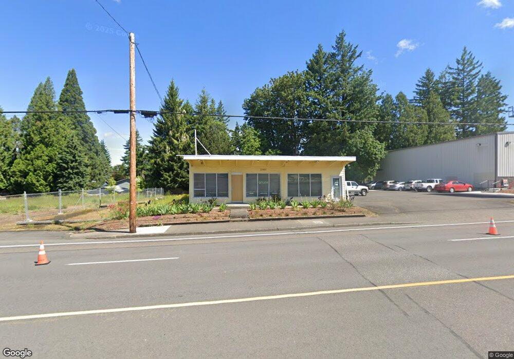
21601 SE Stark St Gresham, OR 97030
North Central NeighborhoodEstimated Value: $538,409
--
Bed
--
Bath
3,631
Sq Ft
$148/Sq Ft
Est. Value
About This Home
This home is located at 21601 SE Stark St, Gresham, OR 97030 and is currently priced at $538,409, approximately $148 per square foot. 21601 SE Stark St is a home located in Multnomah County with nearby schools including North Gresham Elementary School, Clear Creek Middle School, and Gresham High School.
Ownership History
Date
Name
Owned For
Owner Type
Purchase Details
Closed on
Aug 13, 2019
Sold by
Lepper Douglas C and Lepper Debra S
Bought by
Grune Properties Llc
Current Estimated Value
Home Financials for this Owner
Home Financials are based on the most recent Mortgage that was taken out on this home.
Original Mortgage
$300,000
Outstanding Balance
$196,339
Interest Rate
3.7%
Mortgage Type
New Conventional
Purchase Details
Closed on
Aug 4, 2005
Sold by
Butterfield Lock & Door Inc
Bought by
Lepper Douglas C and Lepper Debra S
Purchase Details
Closed on
Mar 22, 2005
Sold by
Powell Carol J
Bought by
Green Barbara
Create a Home Valuation Report for This Property
The Home Valuation Report is an in-depth analysis detailing your home's value as well as a comparison with similar homes in the area
Home Values in the Area
Average Home Value in this Area
Purchase History
| Date | Buyer | Sale Price | Title Company |
|---|---|---|---|
| Grune Properties Llc | $409,000 | First American | |
| Lepper Douglas C | $234,000 | Lawyers Title Ins | |
| Butterfield Lock & Door Inc | -- | Lawyers Title Ins | |
| Green Barbara | $110,000 | Lawyers Title Ins |
Source: Public Records
Mortgage History
| Date | Status | Borrower | Loan Amount |
|---|---|---|---|
| Open | Grune Properties Llc | $300,000 |
Source: Public Records
Tax History
| Year | Tax Paid | Tax Assessment Tax Assessment Total Assessment is a certain percentage of the fair market value that is determined by local assessors to be the total taxable value of land and additions on the property. | Land | Improvement |
|---|---|---|---|---|
| 2025 | $5,903 | $290,100 | -- | -- |
| 2024 | $5,651 | $281,660 | -- | -- |
| 2023 | $5,149 | $273,460 | $0 | $0 |
| 2022 | $5,005 | $265,500 | $0 | $0 |
| 2021 | $4,879 | $257,770 | $0 | $0 |
| 2020 | $4,590 | $250,270 | $0 | $0 |
| 2019 | $4,470 | $242,990 | $0 | $0 |
| 2018 | $4,263 | $235,920 | $0 | $0 |
| 2017 | $4,090 | $229,050 | $0 | $0 |
Source: Public Records
Map
Nearby Homes
- 21525 SE Oak St
- 21532 SE Alder St
- 21553 SE Ankeny Terrace
- 210 SE 218th Ave
- 21400 SE Stark St Unit 2
- 209 SE 214th Ave
- 132 SE 214th Ave
- 21260 SE Stark St
- 21016 SE Stark St Unit 71
- 21016 SE Stark St Unit 69
- 1035 SE 225th Ave
- 21033 SE Clay Ct
- 2013 NW Bella Vista Dr
- 1811 NW 19th St
- 760 NE Pacific Dr
- 150 NE 202nd Ave
- 1861 NW Wonderview Ave
- 2775 NE Linden Ave
- 1305 NE Village St
- 450 NE 22nd St
- 21551 SE Stark St
- 21610 SE Oak St
- 21622 SE Oak St
- 21556 SE Oak St
- 21531 SE Stark St
- 21546 SE Oak St
- 21646 SE Oak St
- 21534 SE Oak St
- 21658 SE Oak St
- 21518 SE Oak St
- 21704 SE Oak St
- 21605 SE Oak St
- 21617 SE Oak St
- 21506 SE Oak St
- 21545 SE Oak St
- 21712 SE Oak St
- 574 SE 215th Ave
- 21633 SE Oak St
- 21739 SE Stark St
- 21459 SE Stark St
Your Personal Tour Guide
Ask me questions while you tour the home.