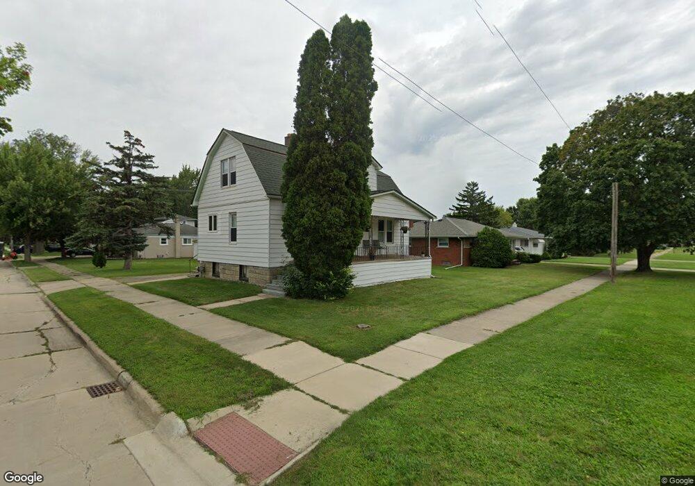
21603 Twelve Mile Rd St. Clair Shores, MI 48081
Estimated Value: $167,000 - $271,000
3
Beds
2
Baths
1,312
Sq Ft
$154/Sq Ft
Est. Value
About This Home
This home is located at 21603 Twelve Mile Rd, St. Clair Shores, MI 48081 and is currently estimated at $201,570, approximately $153 per square foot. 21603 Twelve Mile Rd is a home located in Macomb County with nearby schools including Rodgers Elementary School, Kennedy Middle School, and Lake Shore High School.
Ownership History
Date
Name
Owned For
Owner Type
Purchase Details
Closed on
Nov 15, 2022
Sold by
John S King Revocable Living Trust
Bought by
Stancavage Jeffrey Lee and Stancavage Dawn
Current Estimated Value
Create a Home Valuation Report for This Property
The Home Valuation Report is an in-depth analysis detailing your home's value as well as a comparison with similar homes in the area
Home Values in the Area
Average Home Value in this Area
Purchase History
| Date | Buyer | Sale Price | Title Company |
|---|---|---|---|
| Stancavage Jeffrey Lee | $130,000 | Chirco Title | |
| Stancavage Jeffrey Lee | $130,000 | Chirco Title |
Source: Public Records
Tax History Compared to Growth
Tax History
| Year | Tax Paid | Tax Assessment Tax Assessment Total Assessment is a certain percentage of the fair market value that is determined by local assessors to be the total taxable value of land and additions on the property. | Land | Improvement |
|---|---|---|---|---|
| 2025 | $4,539 | $72,700 | $0 | $0 |
| 2024 | $4,436 | $67,500 | $0 | $0 |
| 2023 | $5,878 | $90,500 | $0 | $0 |
| 2022 | $2,048 | $75,700 | $0 | $0 |
| 2021 | $1,480 | $68,600 | $0 | $0 |
| 2020 | $1,486 | $58,400 | $0 | $0 |
| 2019 | $1,242 | $52,500 | $0 | $0 |
| 2018 | $1,337 | $47,200 | $0 | $0 |
| 2017 | $1,337 | $37,500 | $7,200 | $30,300 |
| 2016 | $1,242 | $37,500 | $0 | $0 |
| 2015 | $1,213 | $33,300 | $0 | $0 |
| 2012 | -- | $31,100 | $8,500 | $22,600 |
Source: Public Records
Map
Nearby Homes
- 21633 Winshall St
- 29937 Maplegrove St
- 22016 Visnaw St
- 21136 E 12 Mile Rd
- 29824 Gloria St
- 22024 Lanse St
- 22212 Mylls Ct
- 22445 Amherst St
- 20938 Hunt Dr Unit 52
- 22452 Lake Dr
- 22451 Lake Dr
- 20922 Hunt Dr
- 405 Pineview Ct Unit 9
- 21118 Michael Ct
- 20825 Washington St
- 20924 Saint Gertrude St
- 20731 Washington St
- 21217 Raymond St
- 22701 Lake Dr
- 22618 Millenbach St
- 21603 E 12 Mile Rd
- 21531 E Twelve Mile Rd
- 21611 E 12 Mile Rd
- 21531 E 12 Mile Rd
- 21617 E 12 Mile Rd
- 29601 Oakgrove St
- 29622 Oakgrove St
- 21525 E 12 Mile Rd
- 29621 Oakgrove St
- 21600 E 12 Mile Rd
- 21620 E 12 Mile Rd
- 21519 E 12 Mile Rd
- 21528 E 12 Mile Rd
- 21640 E 12 Mile Rd
- 21621 E 12 Mile Rd
- 29623 Oakgrove St
- 21650 E 12 Mile Rd
- 29621 Maplegrove St
- 21658 E 12 Mile Rd
- 29629 Oakgrove St