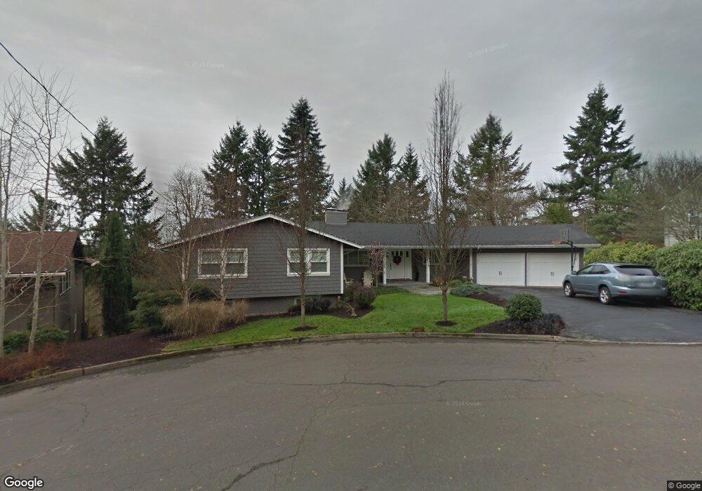
2161 Hillside Ct Lake Oswego, OR 97034
Palisades NeighborhoodEstimated Value: $1,079,000 - $1,260,000
4
Beds
3
Baths
3,347
Sq Ft
$351/Sq Ft
Est. Value
About This Home
This home is located at 2161 Hillside Ct, Lake Oswego, OR 97034 and is currently estimated at $1,174,164, approximately $350 per square foot. 2161 Hillside Ct is a home located in Clackamas County with nearby schools including Lakeridge Middle School, Lakeridge High School, and Chinese American International School.
Ownership History
Date
Name
Owned For
Owner Type
Purchase Details
Closed on
Aug 11, 2009
Sold by
Engle John H and Engle Shelley R
Bought by
Mcneill Stephen J and Mcneill Kristin L
Current Estimated Value
Home Financials for this Owner
Home Financials are based on the most recent Mortgage that was taken out on this home.
Original Mortgage
$415,920
Outstanding Balance
$272,424
Interest Rate
5.3%
Mortgage Type
Purchase Money Mortgage
Estimated Equity
$901,740
Create a Home Valuation Report for This Property
The Home Valuation Report is an in-depth analysis detailing your home's value as well as a comparison with similar homes in the area
Home Values in the Area
Average Home Value in this Area
Purchase History
| Date | Buyer | Sale Price | Title Company |
|---|---|---|---|
| Mcneill Stephen J | $519,900 | Lawyers Title Insurance Corp |
Source: Public Records
Mortgage History
| Date | Status | Borrower | Loan Amount |
|---|---|---|---|
| Open | Mcneill Stephen J | $415,920 |
Source: Public Records
Tax History Compared to Growth
Tax History
| Year | Tax Paid | Tax Assessment Tax Assessment Total Assessment is a certain percentage of the fair market value that is determined by local assessors to be the total taxable value of land and additions on the property. | Land | Improvement |
|---|---|---|---|---|
| 2025 | $8,695 | $452,746 | -- | -- |
| 2024 | $8,463 | $439,560 | -- | -- |
| 2023 | $8,463 | $426,758 | $0 | $0 |
| 2022 | $7,970 | $414,329 | $0 | $0 |
| 2021 | $7,231 | $395,138 | $0 | $0 |
| 2020 | $7,050 | $383,630 | $0 | $0 |
| 2019 | $6,876 | $372,457 | $0 | $0 |
| 2018 | $6,539 | $361,609 | $0 | $0 |
| 2017 | $6,310 | $351,077 | $0 | $0 |
| 2016 | $5,744 | $340,851 | $0 | $0 |
| 2015 | $5,550 | $330,923 | $0 | $0 |
| 2014 | $5,478 | $321,284 | $0 | $0 |
Source: Public Records
Map
Nearby Homes
- 2627 Park Rd
- 2306 Mayors Ln
- 17677 Westview Dr
- 17035 Westview Dr
- 16878 Canyon Dr
- 2255 Glen Haven Rd
- 3220 Southshore Blvd
- 1951 Greentree Rd
- 0 S Shore Blvd
- 17210 Cedar Rd
- 1847 Woodland Terrace
- 1799 Atherton Dr
- 16636 Maple Cir
- 17367 Canal Cir
- 1467 Greentree Cir
- 18300 Bryant Rd
- 12 Dover Way
- 3548 Lakeview Blvd
- 3600 Lakeview Blvd
- 15948 Twin Fir Rd
- 2179 Hillside Ct
- 17332 Canyon Ct
- 2150 Hillside Ct
- 17330 Canyon Ct
- 17328 Canyon Dr
- 2602 Lookout Ct
- 2130 Hillside Ct
- 2140 Hillside Ct
- 2183 Hillside Ct
- 17310 Canyon Dr
- 2110 Hillside Ct
- 17340 Canyon Dr
- 2189 Hillside Ct
- 17311 Canyon Dr
- 17336 Canyon Ct
- 17336 Canyon Ct Unit 4800
- 2604 Lookout Ct
- 2601 Lookout Ct
- 2500 Dellwood Dr
- 17333 Canyon Ct