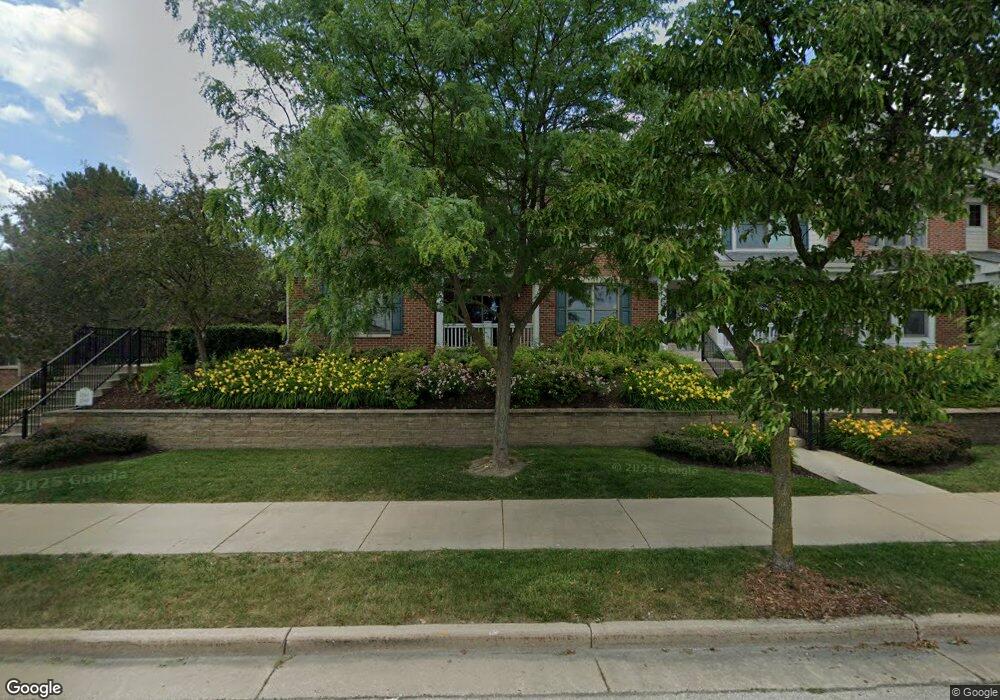
2161 Norhardt Dr Unit 2161 Brookfield, WI 53045
Estimated Value: $430,000 - $519,000
2
Beds
2
Baths
1,792
Sq Ft
$262/Sq Ft
Est. Value
About This Home
This home is located at 2161 Norhardt Dr Unit 2161, Brookfield, WI 53045 and is currently estimated at $469,758, approximately $262 per square foot. 2161 Norhardt Dr Unit 2161 is a home located in Waukesha County with nearby schools including Brookfield Elementary School, Wisconsin Hills Middle School, and Brookfield Central High School.
Ownership History
Date
Name
Owned For
Owner Type
Purchase Details
Closed on
Mar 15, 2006
Sold by
Northardt Condominiums Llc
Bought by
Neely John A and Neely Valerie F
Current Estimated Value
Home Financials for this Owner
Home Financials are based on the most recent Mortgage that was taken out on this home.
Original Mortgage
$164,900
Outstanding Balance
$94,073
Interest Rate
6.33%
Mortgage Type
Fannie Mae Freddie Mac
Estimated Equity
$375,685
Create a Home Valuation Report for This Property
The Home Valuation Report is an in-depth analysis detailing your home's value as well as a comparison with similar homes in the area
Home Values in the Area
Average Home Value in this Area
Purchase History
| Date | Buyer | Sale Price | Title Company |
|---|---|---|---|
| Neely John A | $314,900 | None Available |
Source: Public Records
Mortgage History
| Date | Status | Borrower | Loan Amount |
|---|---|---|---|
| Open | Neely John A | $164,900 |
Source: Public Records
Tax History Compared to Growth
Tax History
| Year | Tax Paid | Tax Assessment Tax Assessment Total Assessment is a certain percentage of the fair market value that is determined by local assessors to be the total taxable value of land and additions on the property. | Land | Improvement |
|---|---|---|---|---|
| 2024 | $4,050 | $368,300 | $100,000 | $268,300 |
| 2023 | $4,045 | $368,300 | $100,000 | $268,300 |
| 2022 | $4,265 | $302,900 | $100,000 | $202,900 |
| 2021 | $4,512 | $302,900 | $100,000 | $202,900 |
| 2020 | $4,725 | $302,900 | $100,000 | $202,900 |
| 2019 | $4,532 | $302,900 | $100,000 | $202,900 |
| 2018 | $4,528 | $293,600 | $85,000 | $208,600 |
| 2017 | $4,537 | $293,600 | $85,000 | $208,600 |
| 2016 | $4,603 | $293,600 | $85,000 | $208,600 |
| 2015 | $4,580 | $293,600 | $85,000 | $208,600 |
| 2014 | $4,751 | $293,600 | $85,000 | $208,600 |
| 2013 | $4,751 | $293,600 | $85,000 | $208,600 |
Source: Public Records
Map
Nearby Homes
- 1980 Lone Oak Cir E
- 1940 Elm Terrace Cir
- 17835 Gebhardt Rd
- 2660 N Calhoun Rd
- 16570 W North Ave
- 2550 Coach House Dr
- 17360 Patricia Ln
- 2891 Nassau Dr Unit A2891
- 17725 Nassau Dr Unit 17725
- 2975 River Birch Dr Unit C
- 1955 Melody Ln
- 18660 Bonnie Ln
- 1485 N Brookfield Rd
- 1820 Melody Ln
- 1280 Spring Dr
- 17350 W Burleigh Rd
- 2950 N 186th St Unit 9
- 18530 Pleasant St
- 2960 N 186th St Unit 10
- 2970 N 186th St Unit 7
- 2163 Norhardt Dr
- 2165 Norhardt Dr Unit 2165
- 2171 Norhardt Dr Unit 2171
- 2173 Norhardt Dr Unit 2173
- 2175 Norhardt Dr Unit 2175
- 2181 Norhardt Dr
- 2183 Norhardt Dr Unit 2183
- 2185 Norhardt Dr Unit 2185
- 2191 Norhardt Dr Unit 2191
- 2193 Norhardt Dr Unit 2193
- 2201 Norhardt Dr
- 2195 Norhardt Dr Unit 2195
- 2203 Norhardt Dr
- 2205 Norhardt Dr Unit 2205
- 2211 Norhardt Dr Unit 2211
- 2213 Norhardt Dr Unit 2213
- 2215 Norhardt Dr
- 2241 Norhardt Dr
- 2243 Norhardt Dr Unit 2243
- 2160 Michelle Dr