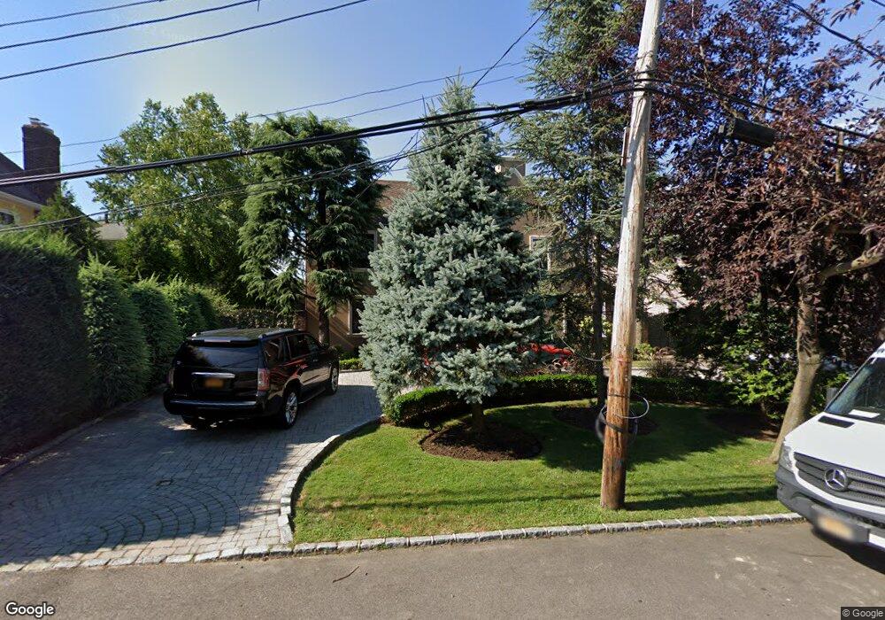
21611 31st Rd Bayside, NY 11360
Bayside NeighborhoodEstimated Value: $1,767,000 - $2,197,000
--
Bed
--
Bath
3,088
Sq Ft
$631/Sq Ft
Est. Value
About This Home
This home is located at 21611 31st Rd, Bayside, NY 11360 and is currently estimated at $1,947,665, approximately $630 per square foot. 21611 31st Rd is a home located in Queens County with nearby schools including P.S. 41 - Crocheron, M.S. 158 - Marie Curie, and Bayside High School.
Ownership History
Date
Name
Owned For
Owner Type
Purchase Details
Closed on
Dec 22, 2003
Sold by
Merkelson Beulah
Bought by
Romano Nicholas A
Current Estimated Value
Home Financials for this Owner
Home Financials are based on the most recent Mortgage that was taken out on this home.
Original Mortgage
$588,750
Interest Rate
5.62%
Mortgage Type
Purchase Money Mortgage
Purchase Details
Closed on
Jul 23, 1996
Sold by
Merkelson Lloyd and Merkelson Beulah
Bought by
Merkelson Beulah
Create a Home Valuation Report for This Property
The Home Valuation Report is an in-depth analysis detailing your home's value as well as a comparison with similar homes in the area
Home Values in the Area
Average Home Value in this Area
Purchase History
| Date | Buyer | Sale Price | Title Company |
|---|---|---|---|
| Romano Nicholas A | $785,000 | -- | |
| Romano Nicholas A | $785,000 | -- | |
| Merkelson Beulah | -- | Commonwealth Land Title Ins | |
| Merkelson Beulah | -- | Commonwealth Land Title Ins |
Source: Public Records
Mortgage History
| Date | Status | Borrower | Loan Amount |
|---|---|---|---|
| Previous Owner | Romano Nicholas A | $588,750 |
Source: Public Records
Tax History Compared to Growth
Tax History
| Year | Tax Paid | Tax Assessment Tax Assessment Total Assessment is a certain percentage of the fair market value that is determined by local assessors to be the total taxable value of land and additions on the property. | Land | Improvement |
|---|---|---|---|---|
| 2025 | $14,039 | $73,900 | $15,349 | $58,551 |
| 2024 | $14,039 | $69,900 | $16,038 | $53,862 |
| 2023 | $14,039 | $69,900 | $14,399 | $55,501 |
| 2022 | $13,760 | $96,840 | $23,940 | $72,900 |
| 2021 | $13,684 | $80,280 | $23,940 | $56,340 |
| 2020 | $13,035 | $79,500 | $23,940 | $55,560 |
| 2019 | $12,185 | $87,540 | $23,940 | $63,600 |
| 2018 | $11,874 | $58,250 | $13,623 | $44,627 |
| 2017 | $11,709 | $57,438 | $12,184 | $45,254 |
| 2016 | $10,833 | $57,438 | $12,184 | $45,254 |
| 2015 | $6,535 | $51,319 | $15,999 | $35,320 |
| 2014 | $6,535 | $48,542 | $18,162 | $30,380 |
Source: Public Records
Map
Nearby Homes
- 29 Avenue
- 216-16 28th Rd
- 28-05 216th St
- 2817 215th Place
- 2816 215th Place
- 21629 28th Ave
- 2717 216th St
- 2957 214th Place
- 24-56 Little Neck Blvd
- 32-37 214th St
- 2812 214th St
- 215-31 26th Ave
- 215-48 24th Ave
- 29-30 Bell Blvd
- 2930 Bell Blvd
- 23-55 Bell Blvd Unit 6D
- 2634 213th St
- 33-15 Bell Blvd
- 33-19 Bell Blvd
- 23-45 Bell Blvd Unit 6D