21614 N 2930 Rd Kingfisher, OK 73750
Estimated Value: $147,000 - $205,000
3
Beds
2
Baths
1,447
Sq Ft
$120/Sq Ft
Est. Value
About This Home
This home is located at 21614 N 2930 Rd, Kingfisher, OK 73750 and is currently estimated at $173,208, approximately $119 per square foot. 21614 N 2930 Rd is a home located in Kingfisher County with nearby schools including Gilmour Elementary School, Kingfisher Middle School, and Kingfisher High School.
Ownership History
Date
Name
Owned For
Owner Type
Purchase Details
Closed on
Mar 21, 2007
Sold by
Deutsche Bank National Trust Co
Bought by
Yost Garrick and Yost Rockelle
Current Estimated Value
Home Financials for this Owner
Home Financials are based on the most recent Mortgage that was taken out on this home.
Original Mortgage
$76,784
Interest Rate
5.92%
Mortgage Type
FHA
Purchase Details
Closed on
Jan 10, 2007
Sold by
Taylor Jerry
Bought by
Deutsche Bank National Trust Co
Purchase Details
Closed on
Jul 6, 2005
Sold by
Verhines Pauline and Kadavy Fred D
Bought by
Taylor Jerry
Home Financials for this Owner
Home Financials are based on the most recent Mortgage that was taken out on this home.
Original Mortgage
$69,960
Interest Rate
7.55%
Mortgage Type
Adjustable Rate Mortgage/ARM
Purchase Details
Closed on
Mar 4, 2003
Sold by
Malvin Kadavy
Bought by
Pauline Verhines
Create a Home Valuation Report for This Property
The Home Valuation Report is an in-depth analysis detailing your home's value as well as a comparison with similar homes in the area
Home Values in the Area
Average Home Value in this Area
Purchase History
| Date | Buyer | Sale Price | Title Company |
|---|---|---|---|
| Yost Garrick | $77,500 | First American Title & Abstr | |
| Deutsche Bank National Trust Co | $69,821 | None Available | |
| Taylor Jerry | $87,500 | None Available | |
| Pauline Verhines | $40,000 | -- |
Source: Public Records
Mortgage History
| Date | Status | Borrower | Loan Amount |
|---|---|---|---|
| Closed | Yost Garrick | $76,784 | |
| Previous Owner | Taylor Jerry | $69,960 |
Source: Public Records
Tax History Compared to Growth
Tax History
| Year | Tax Paid | Tax Assessment Tax Assessment Total Assessment is a certain percentage of the fair market value that is determined by local assessors to be the total taxable value of land and additions on the property. | Land | Improvement |
|---|---|---|---|---|
| 2025 | $631 | $8,669 | $2,606 | $6,063 |
| 2024 | $631 | $8,416 | $2,530 | $5,886 |
| 2023 | $610 | $8,171 | $2,574 | $5,597 |
| 2022 | $622 | $8,171 | $2,574 | $5,597 |
| 2021 | $627 | $8,171 | $2,574 | $5,597 |
| 2020 | $625 | $8,171 | $2,574 | $5,597 |
| 2019 | $665 | $8,929 | $2,574 | $6,355 |
| 2018 | $659 | $8,874 | $2,574 | $6,300 |
| 2017 | $671 | $8,615 | $2,574 | $6,041 |
| 2016 | $646 | $8,364 | $2,574 | $5,790 |
| 2015 | $785 | $9,914 | $2,001 | $7,913 |
| 2014 | $780 | $9,626 | $1,073 | $8,553 |
Source: Public Records
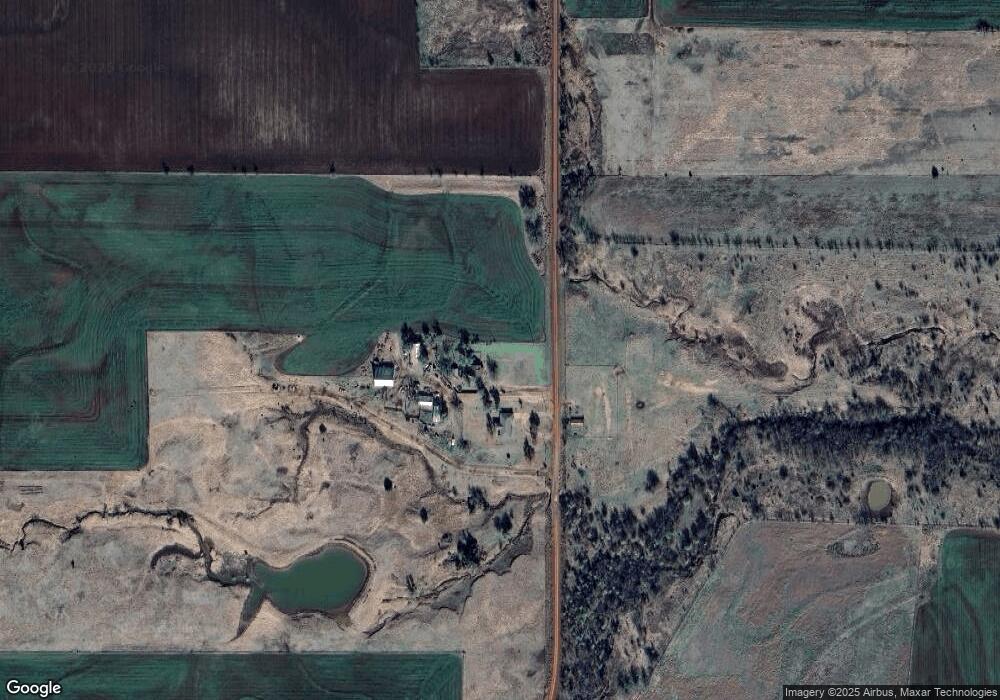
Map
Nearby Homes
- 0 Ns 2930 Rd Unit 1175437
- 0 E790 & N2940 Rd Unit 1138928
- 0 Ew 810 Rd Unit 1189149
- 0 N 2940 Rd
- 0 Ns 2910 Rd
- 25222 E 780 Rd
- 0 Eastwest 790
- 28616 N 2960 Rd
- 0000 E 0790 Rd
- 0 Lincoln Ridge Ln Unit 1171313
- 921 Red Rock Rd
- 44 Tract Winding Trails Land
- 430 Murphy Dr
- 25233 Ethan St
- 25130 Ethan St
- 25240 Ethan St
- 25312 Ethan St
- 25187 Ethan St
- 25159 Ethan St
- 29243 Colt Ct