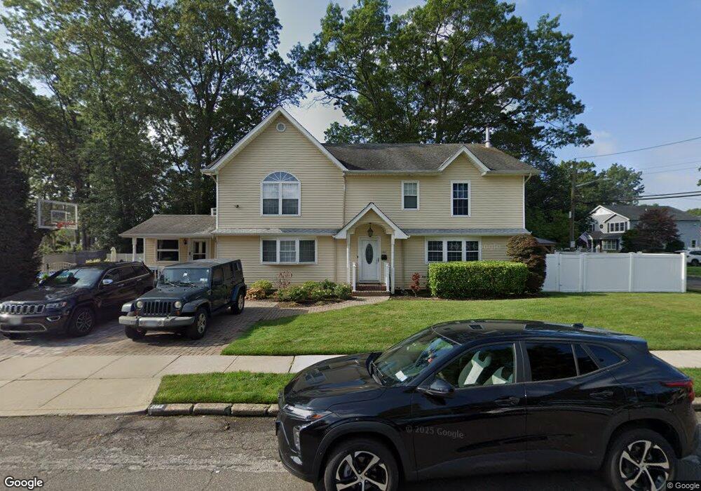
2162 Redmond Rd Merrick, NY 11566
Estimated Value: $1,193,000 - $1,282,708
5
Beds
4
Baths
3,700
Sq Ft
$335/Sq Ft
Est. Value
About This Home
This home is located at 2162 Redmond Rd, Merrick, NY 11566 and is currently estimated at $1,237,854, approximately $334 per square foot. 2162 Redmond Rd is a home located in Nassau County with nearby schools including Weatherford West Elementary School, Lt. General Thomas P. Stafford Elementary School, and Grand Avenue Middle School.
Ownership History
Date
Name
Owned For
Owner Type
Purchase Details
Closed on
Nov 20, 2018
Sold by
Goldstein Douglas and Hastings Mary Anne
Bought by
Farrell John and Farrell Patricia
Current Estimated Value
Home Financials for this Owner
Home Financials are based on the most recent Mortgage that was taken out on this home.
Original Mortgage
$554,500
Outstanding Balance
$488,557
Interest Rate
4.9%
Mortgage Type
New Conventional
Estimated Equity
$749,297
Purchase Details
Closed on
Oct 24, 2012
Sold by
Hastings Mary Anne and Hastings John
Bought by
Goldstein Douglas and Hastings Mary Anne
Purchase Details
Closed on
Apr 8, 2004
Sold by
Hastings Patricia
Create a Home Valuation Report for This Property
The Home Valuation Report is an in-depth analysis detailing your home's value as well as a comparison with similar homes in the area
Home Values in the Area
Average Home Value in this Area
Purchase History
| Date | Buyer | Sale Price | Title Company |
|---|---|---|---|
| Farrell John | $754,500 | None Available | |
| Goldstein Douglas | -- | -- | |
| -- | -- | -- |
Source: Public Records
Mortgage History
| Date | Status | Borrower | Loan Amount |
|---|---|---|---|
| Open | Farrell John | $554,500 |
Source: Public Records
Tax History Compared to Growth
Tax History
| Year | Tax Paid | Tax Assessment Tax Assessment Total Assessment is a certain percentage of the fair market value that is determined by local assessors to be the total taxable value of land and additions on the property. | Land | Improvement |
|---|---|---|---|---|
| 2025 | $20,542 | $717 | $236 | $481 |
| 2024 | $5,258 | $702 | $231 | $471 |
| 2023 | $18,627 | $717 | $236 | $481 |
| 2022 | $18,627 | $717 | $236 | $481 |
| 2021 | $24,868 | $759 | $240 | $519 |
| 2020 | $20,942 | $1,109 | $589 | $520 |
| 2019 | $5,752 | $1,189 | $593 | $596 |
| 2018 | $13,385 | $1,268 | $0 | $0 |
| 2017 | $13,278 | $1,347 | $550 | $797 |
| 2016 | $19,286 | $1,426 | $582 | $844 |
| 2015 | $6,439 | $1,549 | $632 | $917 |
| 2014 | $6,439 | $1,549 | $632 | $917 |
| 2013 | $7,338 | $1,549 | $632 | $917 |
Source: Public Records
Map
Nearby Homes
- 2207 Van Nostrand Ave
- 1360 Powell Ave
- 526 Park Ave
- 2245 Van Nostrand Ave
- 2360 Hamilton Rd
- 1448 Dewey Ave
- 1346 Bellmore Ave
- 37 Orchard St
- 2327 Cleveland St
- 2418 Knob Hill Dr
- 1531 Merrick Ave
- 1399 Bellmore Ave
- 2005 Abbot Ave
- 1580 Little Whaleneck Rd
- 2239 Henry St
- 843 Jerusalem Ave
- 2282 Sycamore Place
- 2271 Locust St
- 1680 Lake Ave
- 1974 Monroe Ave
- 79 Whittier Ave
- 2176 Redmond Rd
- 2163 Redmond Rd
- 1407 Whittier Ave
- 1386 Whittier Ave
- 2182 Redmond Rd
- 148 Taft Ave
- 1396 Whittier Ave
- 1396 Whittier Ave
- 1400 Whittier Ave
- 83 Whittier Ave
- 1396 Whittier Ave
- 1406 Whittier Ave
- 49 Whittier Ave
- 2184 Redmond Rd
- 144 Taft Ave
- 66 Van Nostrand Ave
- 1378 Whittier Ave
- 62 Van Nostrand Ave
- 85 Whittier Ave